98L,TD may be forming

This is the general tropical discussion area. Anyone can take their shot at predicting a storms path.

Moderator: S2k Moderators

Forum rules

The posts in this forum are NOT official forecasts and should not be used as such. They are just the opinion of the poster and may or may not be backed by sound meteorological data. They are NOT endorsed by any professional institution or STORM2K. For official information, please refer to products from the National Hurricane Center and National Weather Service.

Help Support Storm2K
Message
Author
User avatar
HURAKAN
Professional-Met
Professional-Met
Posts: 46086
Age: 38
Joined: Thu May 20, 2004 4:34 pm
Location: Key West, FL
Contact:

#121 Postby HURAKAN » Sun Jul 10, 2005 10:32 am

Image

HERE WE GO AGAIN!!!!!!!!
0 likes   

User avatar
Weatherboy1
Category 5
Category 5
Posts: 1190
Age: 50
Joined: Mon Jul 05, 2004 1:50 pm
Location: Jupiter/Sarasota, FL

judging from this VIS sat loop ...

#122 Postby Weatherboy1 » Sun Jul 10, 2005 11:06 am

http://www.ssd.noaa.gov/PS/TROP/DATA/RT/watl-vis-loop.html

...I'd guess the NHC could designate this thing as TD5 at 5 p.m. or 11 p.m. tonight. It appears there is a clear LLC/banding type pattern in the low clouds and convection is on the rise. Not TOO deep yet (no reds, etc. showing up in the IR view), but definitely on the upswing. A few more hours of this will probably convince them to go ahead and "call it."
0 likes   

User avatar
cycloneye
Admin
Admin
Posts: 148502
Age: 69
Joined: Thu Oct 10, 2002 10:54 am
Location: San Juan, Puerto Rico

#123 Postby cycloneye » Sun Jul 10, 2005 11:18 am

Image

It's on the virge to be a Depression if it is not one already.
0 likes   
Visit the Caribbean-Central America Weather Thread where you can find at first post web cams,radars
and observations from Caribbean basin members Click Here

jpigott
Category 2
Category 2
Posts: 692
Joined: Fri Sep 03, 2004 1:31 pm
Location: North Palm Beach, Florida

#124 Postby jpigott » Sun Jul 10, 2005 11:22 am

choo-choo, choo-choo. This is crazy, let me check my calendar again to make sure i haven't slept for 2 months and this is really mid september
0 likes   

User avatar
HURAKAN
Professional-Met
Professional-Met
Posts: 46086
Age: 38
Joined: Thu May 20, 2004 4:34 pm
Location: Key West, FL
Contact:

#125 Postby HURAKAN » Sun Jul 10, 2005 11:23 am

We just need a little more of convection and that will make the NHC upgrade the system to a TD but it's really close.
0 likes   

Matt-hurricanewatcher

#126 Postby Matt-hurricanewatcher » Sun Jul 10, 2005 11:23 am

Wahoo!!! :hehe: :fantastic: :lilangel: :)


(Note to storm Please don't hit Florida if you went my support)
0 likes   

User avatar
canegrl04
Category 5
Category 5
Posts: 2486
Joined: Thu Aug 26, 2004 5:37 pm
Location: Texas

#127 Postby canegrl04 » Sun Jul 10, 2005 11:25 am

This one looks like its headed for the US,too. Its been slow to develope,so it increases the likelihood it won't be a fish.Also it looks too far south to be a fish. Can we pray it isn't headed for Florida? :eek:
0 likes   

Guest

#128 Postby Guest » Sun Jul 10, 2005 11:25 am

Don't be too worried about Emily as yet. All indications are that she will pass the islands to the east. Caribbean is safe from this one.
0 likes   

User avatar
HURAKAN
Professional-Met
Professional-Met
Posts: 46086
Age: 38
Joined: Thu May 20, 2004 4:34 pm
Location: Key West, FL
Contact:

#129 Postby HURAKAN » Sun Jul 10, 2005 11:28 am

Ivan_The_Terrible wrote:Don't be too worried about Emily as yet. All indications are that she will pass the islands to the east. Caribbean is safe from this one.


Image

Sorry to interrupt you happy time but the NHC doesn't think the same. By the way, "Franklin", is that you behind Emily? Welcome to the ATLANTIC OCEAN SUMMER FESTIVITY.
0 likes   

User avatar
x-y-no
Category 5
Category 5
Posts: 8359
Age: 65
Joined: Wed Aug 11, 2004 12:14 pm
Location: Fort Lauderdale, FL

#130 Postby x-y-no » Sun Jul 10, 2005 11:31 am

Wow ... that improved a lot overnight ...

I'm not so hopeful of a fish system just yet. Looks to me like the ridge is likely to be strong enough that it at least gets quite close to the islands. Actually, one of those bends to the NW then back more westerly, eventually affacting the east coast somewhere, is looking fairly likely at the moment.

Early days, yet. This could all change.

Jan
0 likes   

Matt-hurricanewatcher

#131 Postby Matt-hurricanewatcher » Sun Jul 10, 2005 11:31 am

I just told Emily to be good to Florida. The little storm will add another name to the list. In it will stay away from Florida...I hope she don't make me look like a fool when she gets old.
0 likes   

Guest

#132 Postby Guest » Sun Jul 10, 2005 11:32 am

HURAKAN wrote:Sorry to interrupt you happy time but the NHC doesn't think the same. By the way, "Franklin", is that you behind Emily? Welcome to the ATLANTIC OCEAN SUMMER FESTIVITY.


Image


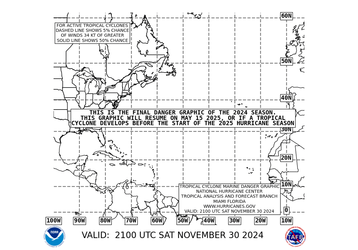
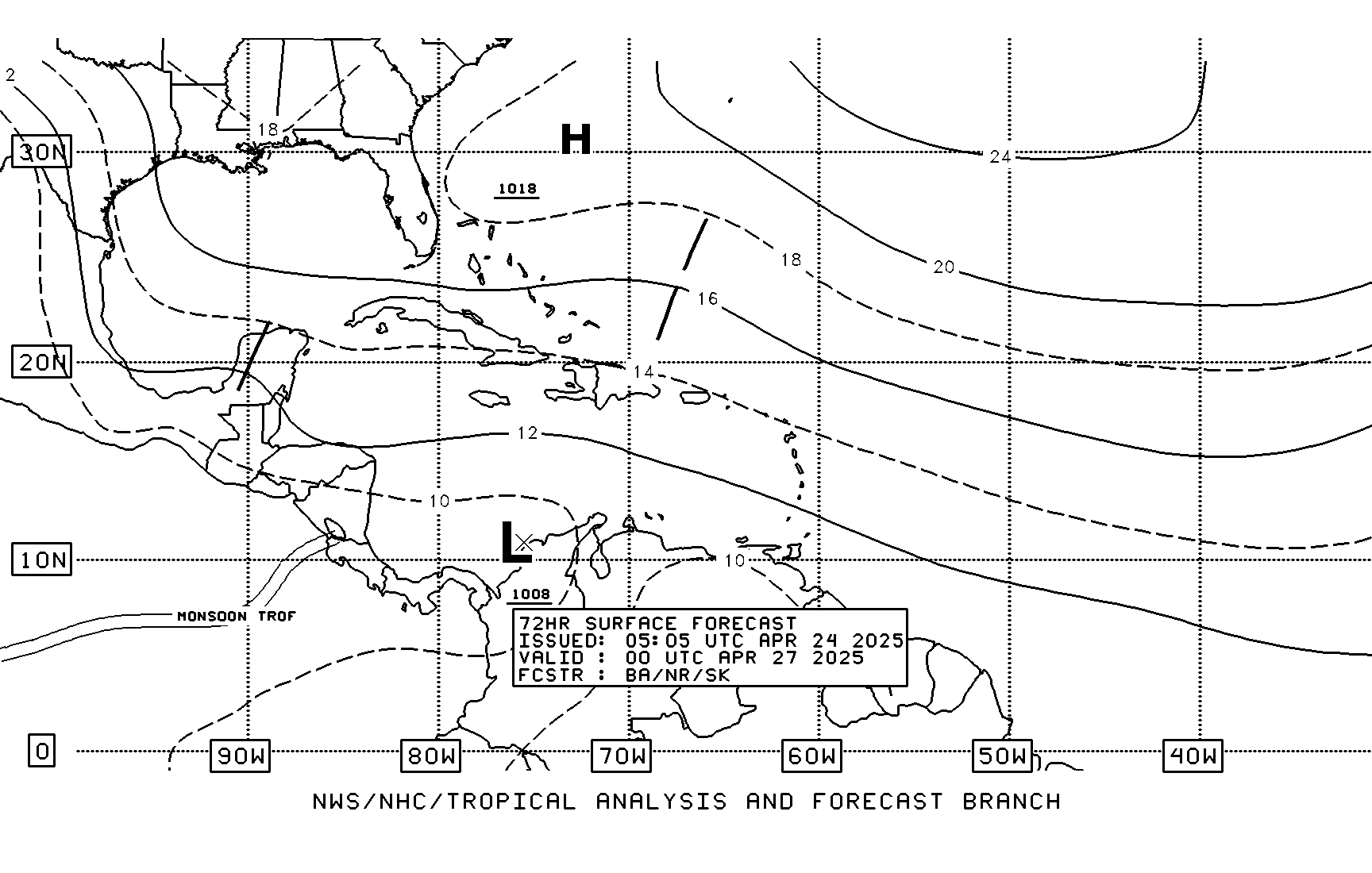
Hmmm ... what's going on here? Aaah! I see both of these from TAFB.

I prefer to wait on the Hurricane Specialists at NHC to interpret and forecast a track. Until then ... the indicatings are that the system will bypass.
Last edited by Guest on Sun Jul 10, 2005 11:34 am, edited 1 time in total.
0 likes   

User avatar
HURAKAN
Professional-Met
Professional-Met
Posts: 46086
Age: 38
Joined: Thu May 20, 2004 4:34 pm
Location: Key West, FL
Contact:

#133 Postby HURAKAN » Sun Jul 10, 2005 11:34 am

Ivan_The_Terrible wrote:
Hmmm ... what's going on here?


A STRONG BERMUDA HIGH.
0 likes   

Guest

#134 Postby Guest » Sun Jul 10, 2005 11:36 am

FXCA62 TJSJ 101529
AFDSJU

AREA FORECAST DISCUSSION
NATIONAL WEATHER SERVICE SAN JUAN PR
1128 AM AST SUN JUL 10 2005

.UPDATE...LOCAL WEATHER PLAYING OUT PRETTY MUCH AS FORECAST AS THE TROPICAL WAVE ALONG 66.5 WEST LATE THIS MORNING CONTINUES TO MOVE WNW ACROSS THE CARIBBEAN. TUTT INTERACTION WITH ADVECTING LOW TO MID LEVEL MOISTURE WILL PRODUCE INCREASING WEATHER FROM THE ESE THROUGH
THIS EVENING...AND POSSIBLY AFFECT THE ENTIRE AREA LATE TONIGHT AND MONDAY. LOCAL FORECASTS HAVE BEEN UPDATED THIS MORNING TO MAKE SLIGHT ALTERATIONS IN AREAL COVERAGE AND TIMING...BUT OTHERWISE NO CHANGES NEEDED.

TROPICAL WAVE CENTERED ALONG 43 WEST THIS MORNING MAY BE ANOTHER OF THESE WAVE SYSTEMS WITH MORE THAN ONE VORTEX...AND IN FACT QUIKSCAT PASSES PAST SEVERAL DAYS HAS SHOWN A VERY SMALL SURFACE LOW WITH THIS WAVE...NOW ESTIMATED TO BE ALONG 41 WEST...WITH A SHORT LOW TO
MID LVL TROUGH SEGMENT EXTENDING FROM THERE WSW. THIS WAVE IS EMBEDDED IN A MOIST ENVIRONMENT...IS MOVING INTO VERY FAVORABLE SST'S AND ALSO INTO AN AREA WITH MILD ANTICYCLONIC SHEAR ALOFT. THIS SYSTEM IS BEING MONITORED FOR POSSIBLE TROPICAL CYCLOGENISIS DURING THE NEXT FEW DAYS BY THE NHC. GLOBAL MODELS GENERALLY MOVE THIS SYSTEM ACROSS THE NE CARIB THURSDAY NIGHT THROUGH FRIDAY...AND LOCAL
INTERESTS SHOULD MONITOR THE PROGRESS OF THIS TROPICAL WAVE. IN THE MEDIUM RANGE...GLOBAL MODELS HAVE SHOWN A NORTHWARD BIAS IN TRAJECTORIES OF RECENT TROPICAL WAVES AS THEY APPROACHED THE CARIBBEAN...BUT THEN HAVE PERFORMED WELL ONCE THESE SYSTEMS HAVE MOVED NEAR AND INTO THE CARIBBEAN. THE MEAN STEERING FLOW ACROSS THE REGION IS FORECAST TO BECOME SOUTHEASTERLY DURING THE NEXT FEW DAYS AS DENNIS LIFTS NNW INTO THE OHIO VALLEY AND MID LEVEL HIGH REMAINS
ACROSS THE E CENTRAL ATLC...LEADING TO GLOBAL MODELS WNW TO NW MOTION THIS WEEK OF THIS APPROACHING WAVE AND THE FOLLOWING WAVE. 70

.4 AM DISCUSSION...LATEST SURFACE ANALYSIS SHOWED A TROPICAL WAVE LOCATED SOUTH OF PUERTO RICO...MOVING WEST AT 10 TO 15 KNOTS. THIS FEATURE NOT WELL DISCERNIBLE FROM LATEST QUICKSCAT PASS OVER THE AREA. IT SEEMS THAT MOST OF THE WEATHER ASSOCIATED TO THIS WAVE IS GOING TO REMAIN SOUTH OF THE AREA. HOWEVER...THE PROXIMITY OF THIS WAVE WILL ENHANCE PRECIPITATION ACROSS THE AREA TODAY.

LATEST GFS MODEL GUIDANCE SUGGEST MOST OF THE DYNAMICS ASSOCIATED TO THIS WAVE WILL COMBINE WITH A TUTT NORTHEAST OF THE AREA. THIS COMBINATION WILL RESULT IN A LARGE LOW TO MID TROUGH WHICH WILL EXTEND FROM FAR SOUTHWEST OF PUERTO RICO NORTHEASTWARD INTO THE ATLANTIC TONIGHT. A DIFFLUENT PATTERN IN THE UPPER LEVELS BY THE SAME TIME WILL INDUCE NUMEROUS SHOWERS AND SCATTERED THUNDERSTORMS MAINLY OVER THE CARIBBEAN WATERS. THESE SHOWERS WILL BE ADVECTED
INTO THE SOUTHEAST AND SOUTH SECTIONS OF PUERTO RICO TONIGHT AND OVERNIGHT. LINGERING MOISTURE AND GOOD UPPER LEVEL DYNAMICS WILL RESULT IN ADDITIONAL SHOWERS AND THUNDERSTORMS DAYTIME MONDAY. SIMILAR
CONDITIONS WILL PERSIST UNTIL TUESDAY. 11

SOURCE: http://www.srh.noaa.gov/data/JSJ/AFDSJU
0 likes   

User avatar
HURAKAN
Professional-Met
Professional-Met
Posts: 46086
Age: 38
Joined: Thu May 20, 2004 4:34 pm
Location: Key West, FL
Contact:

#135 Postby HURAKAN » Sun Jul 10, 2005 11:38 am

Everyone is taking notice of little wanna-be Emily.
0 likes   

Guest

#136 Postby Guest » Sun Jul 10, 2005 11:41 am

HURAKAN wrote:Everyone is taking notice of little wanna-be Emily.


Yes, notice how the media in Florida reporting on it? Interesting week ahead.
0 likes   

User avatar
Canelaw99
S2K Supporter
S2K Supporter
Posts: 2128
Age: 49
Joined: Tue Aug 31, 2004 8:27 am
Location: Homestead, FL

#137 Postby Canelaw99 » Sun Jul 10, 2005 11:42 am

Our local met mentioned it for the first time this morning, just as something that they're watching in the coming days.
0 likes   

User avatar
Tropicswatcher
Tropical Depression
Tropical Depression
Posts: 77
Joined: Wed Jun 01, 2005 12:53 pm
Location: San Juan, Puerto Rico

#138 Postby Tropicswatcher » Sun Jul 10, 2005 11:43 am

Ivan_The_Terrible wrote:FXCA62 TJSJ 101529
AFDSJU

AREA FORECAST DISCUSSION
NATIONAL WEATHER SERVICE SAN JUAN PR
1128 AM AST SUN JUL 10 2005

.. GLOBAL MODELS GENERALLY MOVE THIS SYSTEM ACROSS THE NE CARIB THURSDAY NIGHT THROUGH FRIDAY...AND LOCAL
INTERESTS SHOULD MONITOR THE PROGRESS OF THIS TROPICAL WAVE. IN THE MEDIUM RANGE...GLOBAL MODELS HAVE SHOWN A NORTHWARD BIAS IN TRAJECTORIES OF RECENT TROPICAL WAVES AS THEY APPROACHED THE CARIBBEAN...BUT THEN HAVE PERFORMED WELL ONCE THESE SYSTEMS HAVE MOVED NEAR AND INTO THE CARIBBEAN. THE MEAN STEERING FLOW ACROSS THE REGION IS FORECAST TO BECOME SOUTHEASTERLY DURING THE NEXT FEW DAYS AS DENNIS LIFTS NNW INTO THE OHIO VALLEY AND MID LEVEL HIGH REMAINS
ACROSS THE E CENTRAL ATLC...LEADING TO GLOBAL MODELS WNW TO NW MOTION THIS WEEK OF THIS APPROACHING WAVE AND THE FOLLOWING WAVE. 70


SOURCE: http://www.srh.noaa.gov/data/JSJ/AFDSJU


San Juan Forecast Office says that it is forecast to come to this general vecinity. Still to far east and at least 4 days away.
Last edited by Tropicswatcher on Sun Jul 10, 2005 11:46 am, edited 1 time in total.
0 likes   

User avatar
cycloneye
Admin
Admin
Posts: 148502
Age: 69
Joined: Thu Oct 10, 2002 10:54 am
Location: San Juan, Puerto Rico

#139 Postby cycloneye » Sun Jul 10, 2005 11:46 am

Tropicswatcher wrote:
Ivan_The_Terrible wrote:FXCA62 TJSJ 101529
AFDSJU

AREA FORECAST DISCUSSION
NATIONAL WEATHER SERVICE SAN JUAN PR
1128 AM AST SUN JUL 10 2005

.. GLOBAL MODELS GENERALLY MOVE THIS SYSTEM ACROSS THE NE CARIB THURSDAY NIGHT THROUGH FRIDAY...AND LOCAL
INTERESTS SHOULD MONITOR THE PROGRESS OF THIS TROPICAL WAVE. IN THE MEDIUM RANGE...GLOBAL MODELS HAVE SHOWN A NORTHWARD BIAS IN TRAJECTORIES OF RECENT TROPICAL WAVES AS THEY APPROACHED THE CARIBBEAN...BUT THEN HAVE PERFORMED WELL ONCE THESE SYSTEMS HAVE MOVED NEAR AND INTO THE CARIBBEAN. THE MEAN STEERING FLOW ACROSS THE REGION IS FORECAST TO BECOME SOUTHEASTERLY DURING THE NEXT FEW DAYS AS DENNIS LIFTS NNW INTO THE OHIO VALLEY AND MID LEVEL HIGH REMAINS
ACROSS THE E CENTRAL ATLC...LEADING TO GLOBAL MODELS WNW TO NW MOTION THIS WEEK OF THIS APPROACHING WAVE AND THE FOLLOWING WAVE. 70


SOURCE: http://www.srh.noaa.gov/data/JSJ/AFDSJU


San Juan Forecast Office says that is forecast to come to this general vecinity.


It is too low in latitud around 10-11n which it is difficult for it to avoid the lesser antilles.
0 likes   
Visit the Caribbean-Central America Weather Thread where you can find at first post web cams,radars
and observations from Caribbean basin members Click Here

gkrangers

#140 Postby gkrangers » Sun Jul 10, 2005 11:48 am

These are only my opinion, I'm not very experienced, and I may be reading the models incorrectly.

UKMET shows a strong subtropical ridge, that erodes a bit on its western edge near the US east coast.

My thoughts on the NOGAPS is similar...strong ridge over the central Atlantic that erodes some towards its western flank. Around day 4-5.

FSUMM5 developes Emily and Franklin...and maybe another cyclone, but thats not to be read into. The ridge is strong over the central and eastern Atlantic, but weak over the western Atlantic.

GFS maintains a strong ridge over the Atlantic, all the way to the US east coast.


The subtropical ridge/Bermuda High will be very important in forecasting the track of any storm that developes in the tropical Atlantic east of the lesser Antilles. Looks like right now the ridge will force Emily? toward the lesser Antilles, or possibly just north. Then after that...if the ridge holds strong and extends to the US east coast...it could be a threat. If the western side weakens and pulls out into the Atlantic, it could be more favorable for a storm to recurve.

Basically, it should be in the vicinity of the central to northern Lesser Antilles in a few days. In my opinion. I don't want to call it a carribbean/gulf system or a US east coast system right now, no clue.
0 likes   


Return to “Talkin' Tropics”

Who is online

Users browsing this forum: No registered users and 337 guests