cycloneye wrote:Skywatch_NC wrote:cycloneye wrote:Dont worrie because this thread will not be buried.
Luis, how can one guarantee that it won't be...if not stickied before things really start picking up here?
It will be up there as soon some of the stickys there now go.
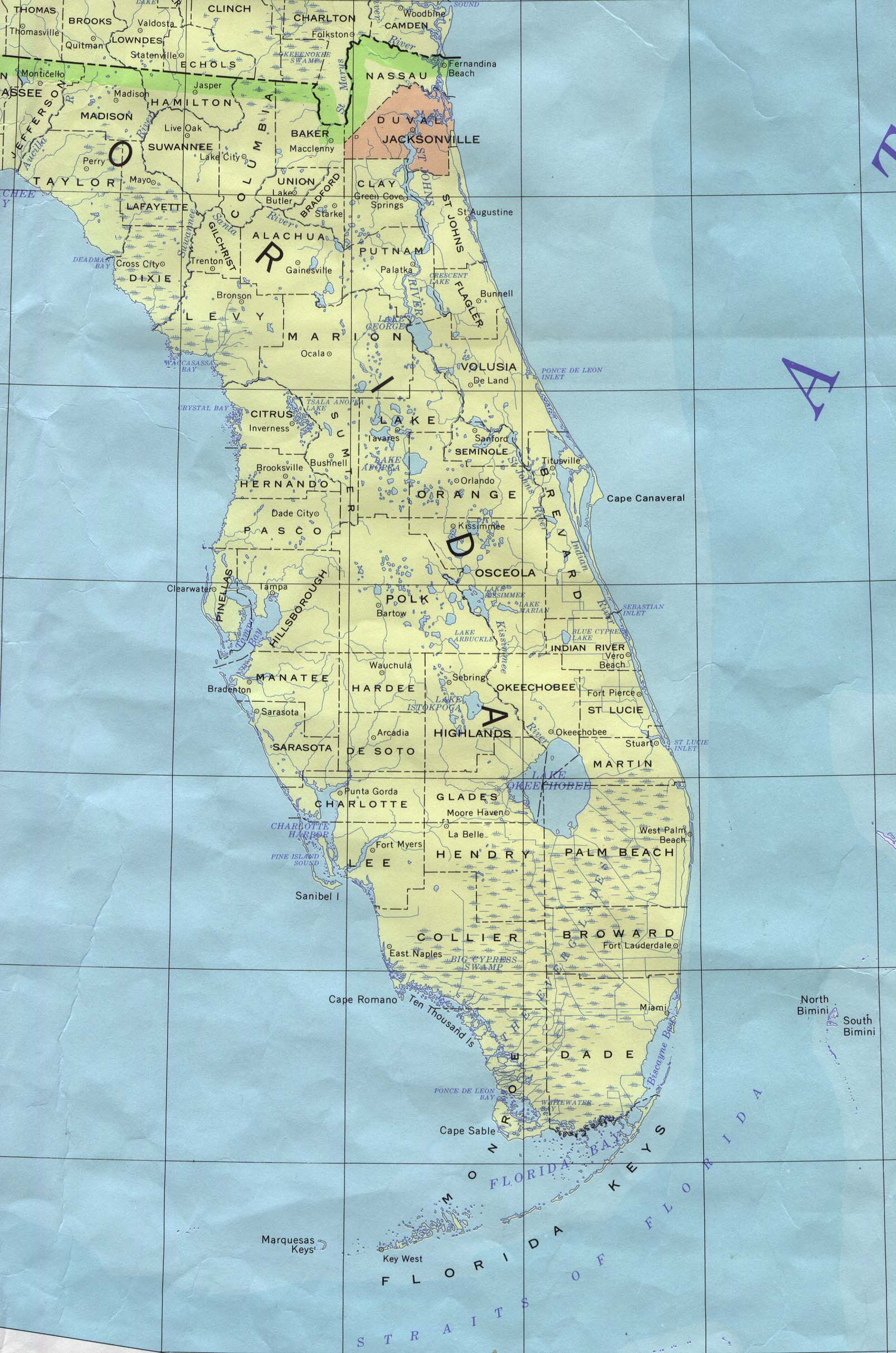
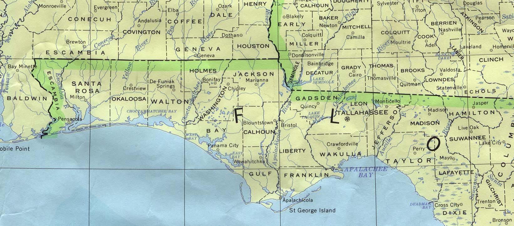
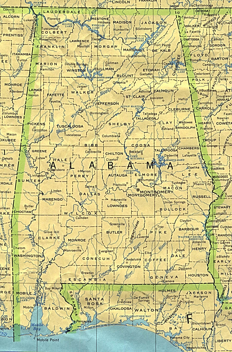
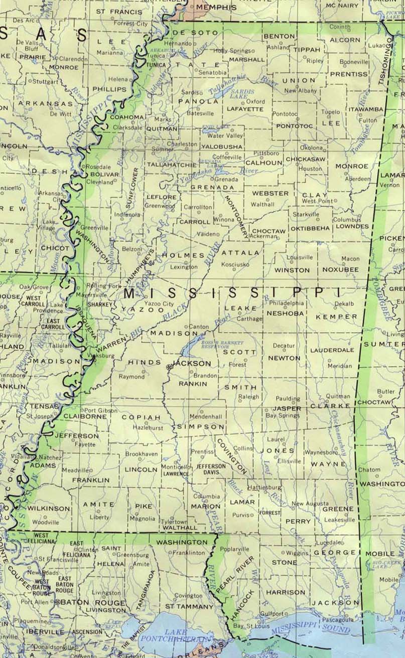
Useful Maps For This Season
Moderator: S2k Moderators
Forum rules

The posts in this forum are NOT official forecasts and should not be used as such. They are just the opinion of the poster and may or may not be backed by sound meteorological data. They are NOT endorsed by any professional institution or STORM2K. For official information, please refer to products from the National Hurricane Center and National Weather Service.
-
Skywatch_NC

- Category 5

- Posts: 10949
- Joined: Wed Feb 05, 2003 9:31 pm
- Location: Raleigh, NC
- Contact:
Last edited by Skywatch_NC on Tue May 31, 2005 11:09 pm, edited 2 times in total.
0 likes
-
cyclonaut

-
Skywatch_NC
- Category 5
- Posts: 10949
- Joined: Wed Feb 05, 2003 9:31 pm
- Location: Raleigh, NC
- Contact:

-
Skywatch_NC
- Category 5
- Posts: 10949
- Joined: Wed Feb 05, 2003 9:31 pm
- Location: Raleigh, NC
- Contact:
-
cyclonaut
-
GalvestonDuck
- Category 5
- Posts: 15941
- Age: 57
- Joined: Fri Oct 11, 2002 8:11 am
- Location: Galveston, oh Galveston (And yeah, it's a barrier island. Wanna make something of it?)

-
GalvestonDuck
- Category 5
- Posts: 15941
- Age: 57
- Joined: Fri Oct 11, 2002 8:11 am
- Location: Galveston, oh Galveston (And yeah, it's a barrier island. Wanna make something of it?)
-
cyclonaut


-
cyclonaut


-
BayouVenteux

- S2K Supporter

- Posts: 775
- Age: 64
- Joined: Thu Sep 04, 2003 3:26 pm
- Location: Ascension Parish, Louisiana (30.3 N 91.0 W)
2 additional geography resources that someone may, at one time or another this season, find useful are http://maps.google.com/ , particularly the "Satellite" feature in the upper right-hand corner, which allows the user to move the map orientation to, in essence, "flyover" any area in North America, Central America, and the Caribbean (although the "marked" version map areas are limited to the U.S. and Canada). A nice way to get familiar with a region beyond conventional maps.
Another good resource is Zenith Aircraft's "Virtual GPS", at http://www.zenithair.com/misc/distance.html , which allows the user to measure the direct "as the crow flies" distance between 2 points anywhere in the world, using either lat/lon coordinates or city (even many small towns!) names. Very handy when you want to estimate EXACTLY how far the storm is from you.
Another good resource is Zenith Aircraft's "Virtual GPS", at http://www.zenithair.com/misc/distance.html , which allows the user to measure the direct "as the crow flies" distance between 2 points anywhere in the world, using either lat/lon coordinates or city (even many small towns!) names. Very handy when you want to estimate EXACTLY how far the storm is from you.
0 likes
Who is online
Users browsing this forum: No registered users and 32 guests