MET OFFICE TROPICAL CYCLONE GUIDANCE FOR NORTH-EAST PACIFIC
AND ATLANTIC
GLOBAL MODEL DATA TIME 12UTC 08.03.2005
NEW TROPICAL STORM FORECAST TO DEVELOP AFTER 60 HOURS
FORECAST POSITION AT T+60 : 7.8N 91.9W
VERIFYING TIME POSITION STRENGTH TENDENCY
-------------- -------- -------- --------
00UTC 11.03.2005 7.8N 91.9W WEAK
12UTC 11.03.2005 7.7N 91.5W WEAK LITTLE CHANGE
00UTC 12.03.2005 8.0N 92.1W WEAK LITTLE CHANGE
12UTC 12.03.2005 8.8N 94.0W WEAK LITTLE CHANGE
00UTC 13.03.2005 8.6N 97.6W WEAK LITTLE CHANGE
12UTC 13.03.2005 9.4N 98.1W WEAK LITTLE CHANGE
00UTC 14.03.2005 9.7N 100.4W WEAK WEAKENING SLIGHTLY
12UTC 14.03.2005 BELOW TROPICAL STORM STRENGTH
MET OFFICE, EXETER, UK


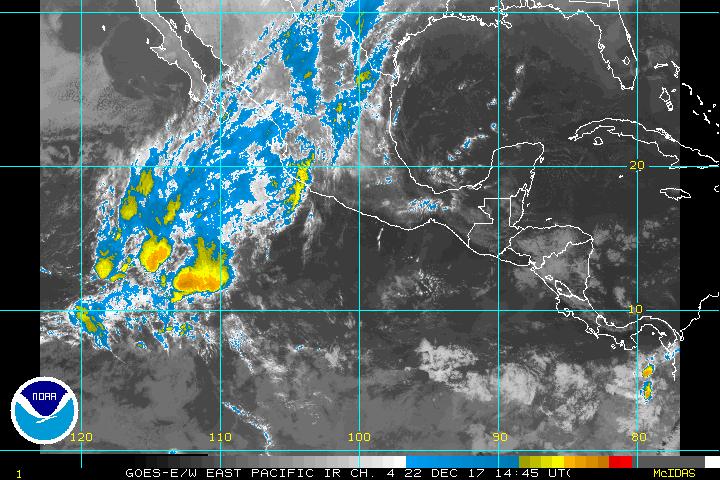
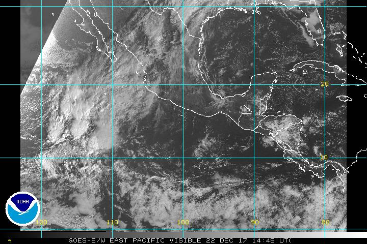
Interesting for being very early at that basin as the season starts at may 15th that the UKMET model is showing this.At the area where that weak disturbance is the shear looks not too strong but increases further west.


