White Christmas in the Deep South???
Moderator: S2k Moderators
Forum rules
 The posts in this forum are NOT official forecast and should not be used as such. They are just the opinion of the poster and may or may not be backed by sound meteorological data. They are NOT endorsed by any professional institution or STORM2K.
 The posts in this forum are NOT official forecast and should not be used as such. They are just the opinion of the poster and may or may not be backed by sound meteorological data. They are NOT endorsed by any professional institution or STORM2K.
- PTrackerLA
- Category 5

- Posts: 5281
- Age: 42
- Joined: Thu Oct 10, 2002 8:40 pm
- Location: Lafayette, LA
gboudx wrote:A New Orleans Met posted on a message board about the possibility of arctic air after Xmas into the New Year holiday. So, hang in there if you want some cold air.
I agree...however though it will most likely be closer to the first of the new year.
This idea has quite a bit of support from the GFS ensembles
http://wwwt.emc.ncep.noaa.gov/gmb/ens/t ... 21800.html
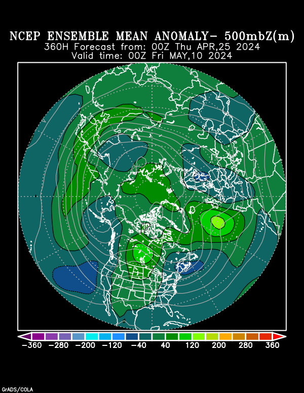
as one can tell...the GFS ensembels develop STRONG PNA ridge along the west coast of north america...in what is a highly amplified pattern...the resulant action would force the development of a DEEP trough in the eastern part of the country...weak troughing noted across europe at 384 hrs and rising heights near the caspian at the end of the period would support this.

notice also how the flow remains split across the pacific (signal for continued storminess)...keeping the pattern very interesting as we head into '04. With plenty of cold air to go around there will be LOTS of oppertunities formore wintery wx across the central and eastern US...though this time further south??
0 likes
Valkhorn wrote:The GFS could always swing back around though
The OPGFS (operational GFS) run will waffle quite a bit which is why i focused on the implication of the ENSEMBELS and NOT what the operational 12z run was depicting.
The 0z and 12z GFS Ensembels display MUCH more run-to-run consistency and MR skill than the 0z and 12z operational GFS runs.
0 likes
-
Guest
RNS wrote:Valkhorn wrote:The GFS could always swing back around though
The OPGFS (operational GFS) run will waffle quite a bit which is why i focused on the implication of the ENSEMBELS and NOT what the operational 12z run was depicting.
The 0z and 12z GFS Ensembels display MUCH more run-to-run consistency and MR skill than the 0z and 12z operational GFS runs.
You mind visiting my thread and sharing some thoughts???? Thanks!
0 likes
- CaptinCrunch
- S2K Supporter

- Posts: 8784
- Age: 58
- Joined: Mon Nov 03, 2003 4:33 pm
- Location: Kennedale, TX (Tarrant Co.)
-
verycoolnin
- Tropical Storm

- Posts: 234
- Joined: Sun Dec 07, 2003 8:05 pm
- Location: yorktown, va
- Contact:
- PTrackerLA
- Category 5

- Posts: 5281
- Age: 42
- Joined: Thu Oct 10, 2002 8:40 pm
- Location: Lafayette, LA
-
weatherfan
- Tropical Depression

- Posts: 89
- Joined: Wed Dec 17, 2003 7:50 pm
- Stormsfury
- Category 5

- Posts: 10549
- Age: 53
- Joined: Wed Feb 05, 2003 6:27 pm
- Location: Summerville, SC
verycoolnin wrote:why would they make temps for 4,400 feet up?Actually, 850mb is roughly about 4,400 ft ...
A lot of reasons verycoolnin ...
1) Measure of extrapolating temperatures to the surface, generally using about +5-10C during the winter, and +20-25 during the summer on generally fair weather conditions
2) Also a good indicator during icestorm setups of where an icestorm COULD setup using thickness schemes and 850c temperatures with much interpretation.
3) Severe parameters for potentially large hail (low FRZ heights)
And this is just the start ...
SF
0 likes
- vbhoutex
- Storm2k Executive

- Posts: 29150
- Age: 74
- Joined: Wed Oct 09, 2002 11:31 pm
- Location: Cypress, TX
- Contact:
weatherfan wrote:anlog 1979-80 anybodey? As HM message on the other board this may well be a winter with a combernation of all three anlogs 1958-59,1960,61,and 1979-80.Only time will tell.
I'm not sure I want a '79-'80 analog. If I remember correctly that was one of the coldest times we've ever seen in Houston. 2x during the 32 years I've lived in Houston we have had 2-3 day runs of below freezing temps and I think 1979-1980 winter was one of them. I know this would be nothing for my Northern friends, but to us it is way past brutal to get something like that.
0 likes
Who is online
Users browsing this forum: No registered users and 143 guests


