Winter Weather Discussion
Moderator: S2k Moderators
Forum rules
 The posts in this forum are NOT official forecast and should not be used as such.
 They are just the opinion of the poster and may or may not be backed by sound meteorological data. They are NOT endorsed by any professional institution or
STORM2K.
-
Gotwood
- Category 2

- Posts: 762
- Joined: Wed Dec 14, 2022 7:18 pm
- Location: Brock Tx
#3261 Postby Gotwood » Wed Jan 21, 2026 12:32 am
txtwister78 wrote:Disregard on UKMET. I was showing the 12z run. My bad. Now I see what yall are talking about. Wow. Talk about a flip.
The UK takes forever to bring the cold down almost a day later in freezing temps getting to NTX than what the GFS is showing.
0 likes
-
Steve
- S2K Supporter

- Posts: 9667
- Joined: Sat Apr 05, 2003 11:41 pm
- Location: NOLA/PCOLA
#3262 Postby Steve » Wed Jan 21, 2026 12:39 am
cheezyWXguy wrote:Stratton23 wrote:Yeah you can toss the UKMET in the trash, that aint happening chief, not a chance
I can’t remember the last time the ukmet handled a Texas winter storm properly. It feels about as useful as looking at the
nam for tropical systems. I’m happy to stick to the euro, gfs, and icon until hi res guidance comes into range
Except some of those Harvey deluges. Otherwise I agree. See you in the summer c.
0 likes
-
snownado
- Category 5

- Posts: 1052
- Joined: Sat Dec 09, 2023 7:00 pm
- Location: Plano, TX
#3263 Postby snownado » Wed Jan 21, 2026 12:48 am
FWIW, 00z EURO is also looking uglier...
0 likes
-
bevolon
- Tropical Low

- Posts: 45
- Joined: Tue Feb 23, 2010 5:33 pm
- Location: Keller Tx.
#3264 Postby bevolon » Wed Jan 21, 2026 12:56 am
snownado wrote:FWIW, 00z EURO is also looking uglier...
And right on que my hopes and dreams are dashed!

0 likes
-
snownado
- Category 5
- Posts: 1052
- Joined: Sat Dec 09, 2023 7:00 pm
- Location: Plano, TX
#3265 Postby snownado » Wed Jan 21, 2026 12:56 am
snownado wrote:FWIW, 00z EURO is also looking uglier...
Still not as bad as the UKMET *yet* (Brent is now in the snowfall bullseye), but for North TX and Southern OK, yeah...
.
Last edited by
snownado on Wed Jan 21, 2026 1:02 am, edited 1 time in total.
0 likes
-
Sambucol2024
- Tropical Storm

- Posts: 101
- Joined: Mon Feb 26, 2024 1:54 pm
#3266 Postby Sambucol2024 » Wed Jan 21, 2026 12:57 am
snownado wrote:FWIW, 00z EURO is also looking uglier...
In what way?
0 likes
-
Kludge
- S2K Supporter
- Posts: 220
- Joined: Thu Aug 26, 2004 9:03 pm
- Location: Montgomery, Texas
#3267 Postby Kludge » Wed Jan 21, 2026 12:59 am
snownado wrote:FWIW, 00z EURO is also looking uglier...
Yep. We're in "that period". Models giveth and taketh leading up to the event. If it looked too good to be true, it probably was. But that doesn't mean it isn't going to be quite Good.

1 likes
-
snownado
- Category 5
- Posts: 1052
- Joined: Sat Dec 09, 2023 7:00 pm
- Location: Plano, TX
#3268 Postby snownado » Wed Jan 21, 2026 12:59 am
Sambucol2024 wrote:snownado wrote:FWIW, 00z EURO is also looking uglier...
In what way?
It's further NW and warmer as it continues the trend of better phasing.
0 likes
-
Stratton23
- Category 5
- Posts: 3396
- Joined: Fri Jul 21, 2023 10:59 pm
- Location: Katy, Tx
#3269 Postby Stratton23 » Wed Jan 21, 2026 1:00 am
Euro yikes… Man if this ends up busting, there is going to be a complete meltdown on this thread lol
0 likes
-
Ntxw
- Storm2k Moderator

- Posts: 23384
- Joined: Wed Oct 21, 2009 6:34 pm
- Location: DFW, Texas
#3270 Postby Ntxw » Wed Jan 21, 2026 1:02 am
Stratton23 wrote:Euro yikes… Man if this ends up busting, there is going to be a complete meltdown on this thread lol
Forget this thread, you got watches and emergency managements canceled!

(Joking)
1 likes
The above post and any post by Ntxw is NOT an official forecast and should not be used as such. It is just the opinion of the poster and may or may not be backed by sound meteorological data. It is NOT endorsed by any professional institution including Storm2k. For official information, please refer to NWS products.
Help support Storm2K!

-
Gotwood
- Category 2
- Posts: 762
- Joined: Wed Dec 14, 2022 7:18 pm
- Location: Brock Tx
#3271 Postby Gotwood » Wed Jan 21, 2026 1:05 am
Stratton23 wrote:Euro yikes… Man if this ends up busting, there is going to be a complete meltdown on this thread lol
Short range models coming into view we know how this story goes.
0 likes
-
txtwister78
- Category 5
- Posts: 2102
- Joined: Wed Jan 30, 2019 12:56 pm
- Location: San Antonio
#3272 Postby txtwister78 » Wed Jan 21, 2026 1:07 am
Folks keep in mind we are still two days away from this becoming more clear. There will be shifts with the models until this system can be sampled as recon was doing tonight but I'll remind everyone even with a flow out of the SW which you need for QPF these globals do not handle artic air well and that arctic air is coming straight south down the plains into Texas as all models have clearly shown and still show. Now if we lose the strength of that then you're talking something different but I've seen this time and time again in Texas as I'm sure others have as well.
Where this is a bigger "concern" if you want winter weather is in the SE because a system more amped here puts a SE ridge in play there and that can absolutely make a huge difference there. My advice let it play out and don't overreact to shifts. Very well may see them flip back the other way tomorrow.
3 likes
-
Gotwood
- Category 2
- Posts: 762
- Joined: Wed Dec 14, 2022 7:18 pm
- Location: Brock Tx
#3273 Postby Gotwood » Wed Jan 21, 2026 1:09 am
txtwister78 wrote:Folks keep in mind we are still two days away from this becoming more clear. There will be shifts with the models until this system can be sampled as recon was doing tonight but I'll remind everyone even with a flow out of the SW which you need for QPF these globals do not handle artic air well and that arctic air is coming straight south down the plains into Texas as all models have clearly shown and still show. Now if we lose the strength of that then you're talking something different but I've seen this time and time again in Texas as I'm sure others have as well.
Where this is a bigger "concern" if you want winter weather is in the SE because a system more amped here puts a SE ridge in play there and that can absolutely make a huge difference there. My advice let it play out and don't overreact to shifts. Very well may see them flip back the other way tomorrow.
Exactly this. Euro is 9 hours behind the GFS on freezing temps for NTX.
1 likes
-
txtwister78
- Category 5
- Posts: 2102
- Joined: Wed Jan 30, 2019 12:56 pm
- Location: San Antonio
#3274 Postby txtwister78 » Wed Jan 21, 2026 1:18 am
Meanwhile the Euro AI and GFS AI continue to get colder and colder and further south with progression much faster as you would expect with the amount/strength of that arctic air coming south. See everyone back here tomorrow.
3 likes
-
snownado
- Category 5
- Posts: 1052
- Joined: Sat Dec 09, 2023 7:00 pm
- Location: Plano, TX
#3275 Postby snownado » Wed Jan 21, 2026 1:36 am
One other thing to keep in mind is that patterns such as wind, temp and pressure are driven by the evolution of the jet stream in the upper levels (not the other way around), and often times with model guidance, changes in those patterns can lag behind upper level changes with the jet stream.
That said, it will be intereating to see if the models continue the trend towards better phasing as we head into tomorrow. It's a lot of moving pieces at play, so more surprises wouldn't shock me.
0 likes
-
DukeMu
- Tropical Storm
- Posts: 107
- Joined: Thu Jun 01, 2023 2:48 pm
- Location: College Station, TX
#3276 Postby DukeMu » Wed Jan 21, 2026 1:45 am
gpsnowman wrote:GFS is below zero. UKIE all rain. Double insanity. Schizophrenia in the weather world. Let's see if the Euro evens things out.
5°F in College Station - just like 2021.
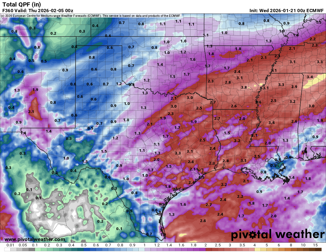
Need a cold column for this Euro QPF (0z)
0 likes
-
Brent
- S2K Supporter
- Posts: 38666
- Age: 37
- Joined: Sun May 16, 2004 10:30 pm
- Location: Tulsa Oklahoma
-
Contact:
#3277 Postby Brent » Wed Jan 21, 2026 1:55 am
2 likes
#neversummer
-
snownado
- Category 5
- Posts: 1052
- Joined: Sat Dec 09, 2023 7:00 pm
- Location: Plano, TX
#3278 Postby snownado » Wed Jan 21, 2026 2:11 am
With the latest guidance, some similarities to the GHD Blizzard of 2011 are appearing, which started off with an extended period of cold rain before transitioning to a sleet fest for DFW. Most (if not all) of the actual snow in North Texas was out towarda Graham, Cisco and Bowie where roughly a half foot fell.
0 likes
-
Brent
- S2K Supporter
- Posts: 38666
- Age: 37
- Joined: Sun May 16, 2004 10:30 pm
- Location: Tulsa Oklahoma
-
Contact:
#3279 Postby Brent » Wed Jan 21, 2026 3:12 am
snownado wrote:With the latest guidance, some similarities to the GHD Blizzard of 2011 are appearing, which started off with an extended period of cold rain before transitioning to a sleet fest for DFW. Most (if not all) of the actual snow in North Texas was out towarda Graham, Cisco and Bowie where roughly a half foot fell.
Tulsa had its worst snowstorm on record then at 14 inches


AccuWeather actually has a chance at 15 right now

0 likes
#neversummer
-
wxman57
- Moderator-Pro Met

- Posts: 23168
- Age: 68
- Joined: Sat Jun 21, 2003 8:06 pm
- Location: Houston, TX (southwest)
#3280 Postby wxman57 » Wed Jan 21, 2026 5:18 am
Just plotted 00Z models. EC and GFS have little, if any, snow in the D-FW area and up to 1/2" of freezing rain/sleet. NBM has 2-4 inches DFW area. all models trended slower with the front into Houston, with very little freezing rain here. Typically, the cold air arrives faster than models predict, so I expect a swing back to an earlier FROPA here in Houston, though 70s in Houston Saturday sounds better than 30s.
2 likes
Return to “Winter Weather”
Who is online
Users browsing this forum: AnnularCane, bubba hotep, cajungal, Captmorg70, cheezyWXguy, Cpv17, dhweather, GeauxTigers, Golfisnoteasy75, Harp.1, iorange55, jaguars_22, JayDT, MississippiWx, mmmmsnouts, Ntxw, opticsguy, rearview, rmic, rwfromkansas, rylo7956, sensoria, South Texas Storms, Steve, Stratton23, wxman22 and 175 guests


