
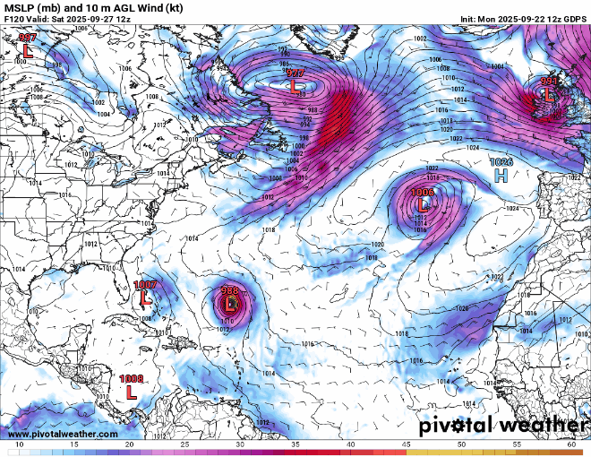
12z Canadian has a TS landfall in Wilmington, NC and the other wave passes over Bermuda, afterwards the storm goes back into the Atlantic then heads back towards florida, winding up near the northern Bahamas.
Moderator: S2k Moderators


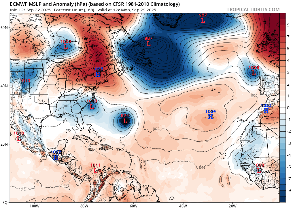
ChrisH-UK wrote:The ECMWF has this one stalling off the coast of Florida and the passing over in to the Gulf. Along with all of the other areas looks like we could be getting a couple of storms landfalling in the US in the coming weeks.

BobHarlem wrote:12z euro develops this now, landfall near Topsail Beach, NC as a TD/TS
https://i.imgur.com/HczTiYu.png
Other wave slams Bermuda as a 955mb hurricane.


TomballEd wrote:Posted on cherry thread as well.
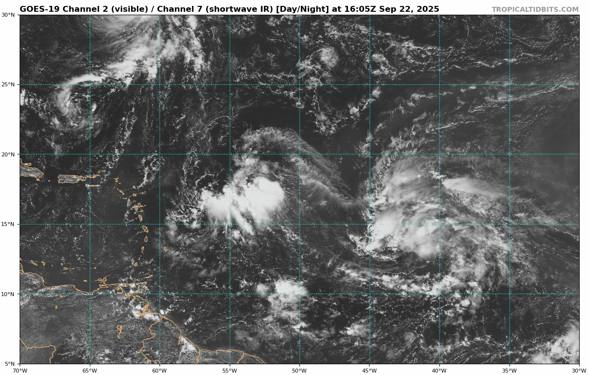
Too close to each other? While the cherry looks better organized, the orange looks to be in a position to enhance shear on the cherry. Orange has farther to go to become a TC but it may stop the cherry from organizing all together.
https://i.imgur.com/zHxZNe0.gif

TomballEd wrote:Posted on cherry thread as well.
Too close to each other? While the cherry looks better organized, the orange looks to be in a position to enhance shear on the cherry. Orange has farther to go to become a TC but it may stop the cherry from organizing all together.
https://i.imgur.com/zHxZNe0.gif


BobHarlem wrote:18z gfs drops this wave (And the other one too), nothing to see.

chaser1 wrote:I'll throw this hypothetical out there. The larger better organized wave near 17N & 45W begins to develop and due to its broad size, begins to impact a fujiwhara affect on this developing wave approaching the Leeward Islands. The counterclockwise flow of the larger/stronger system would then act like a rudder causing this disturbance around 55W, to track more westward then northwest for the near and mid-term. That further west track might result in a TS (or hurricane) to become a threat to the Greater Antilles or Bahamas before feeling a northward tug.
Users browsing this forum: No registered users and 135 guests


