
Tropical Weather Discussion
NWS National Hurricane Center Miami FL
1215 UTC Mon Jul 28 2025
Tropical Weather Discussion for North America, Central America
Gulf of America, Caribbean Sea, northern sections of South
America, and Atlantic Ocean to the African coast from the
Equator to 31N. The following information is based on satellite
imagery, weather observations, radar and meteorological analysis.
Based on 0600 UTC surface analysis and satellite imagery through
1000 UTC.
...TROPICAL WAVES...
...ATLANTIC OCEAN...
A surface trough reaches from near Bermuda to the central Bahamas.
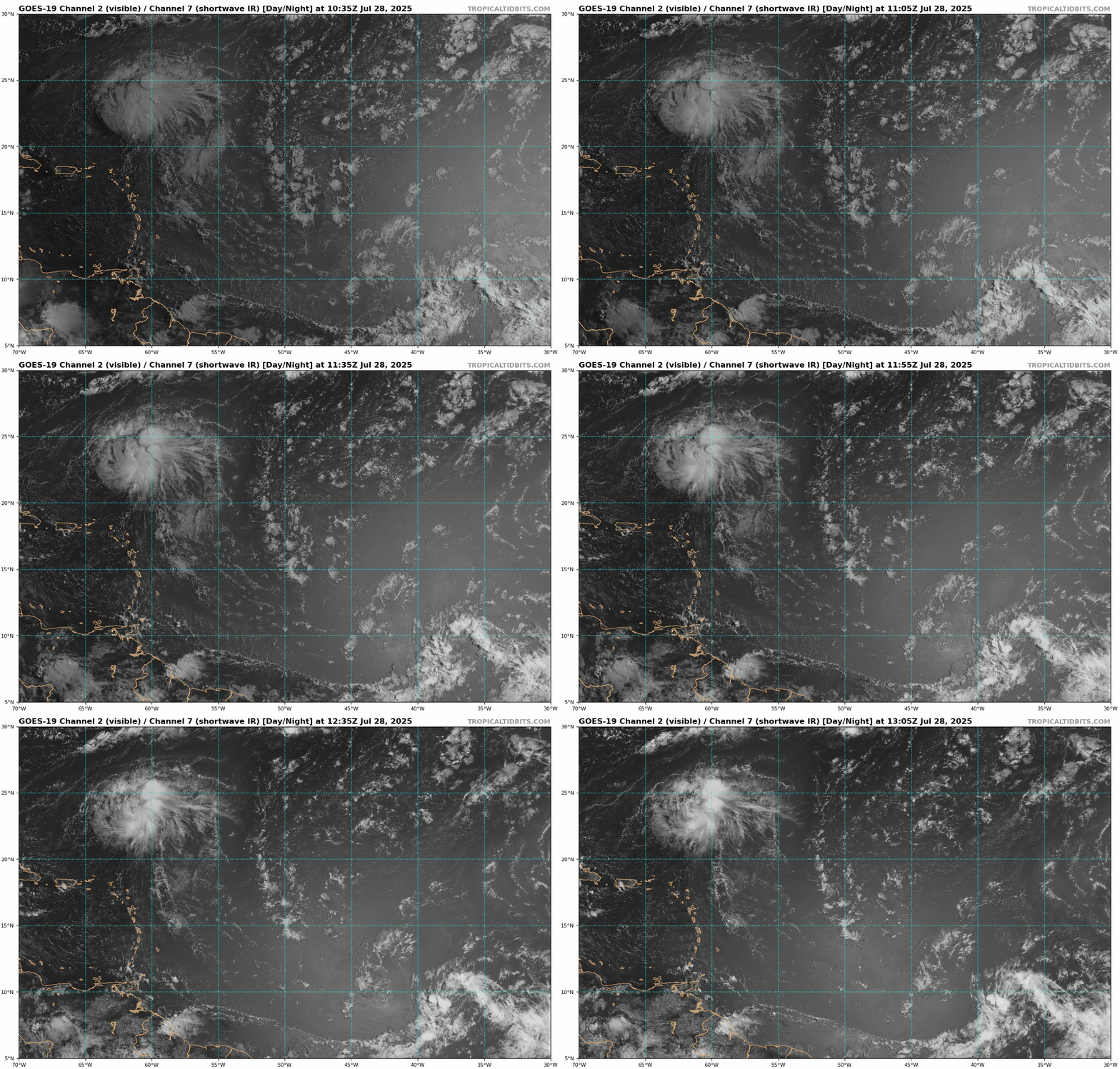
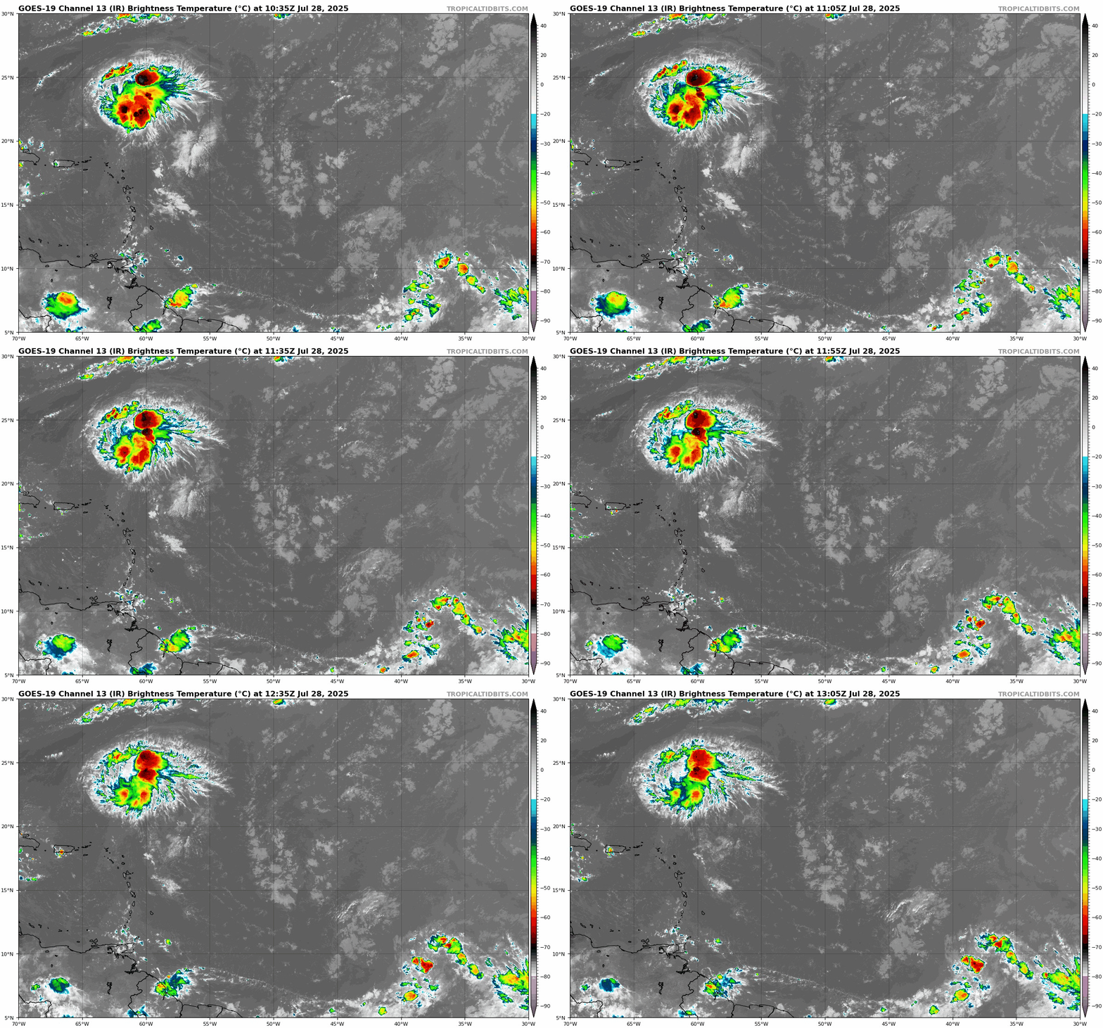
A few showers and thunderstorms are active off Abaco Island near
this trough. Farther east, a large complex of showers and
thunderstorms are active within 90 nm of 23N60W, associated with
upper divergence interacting with the northern end of a tropical
wave. A recent scatterometer satellite pass confirmed fresh to
locally strong NE to E winds are still active to the north of
Haiti and the Windward Passage. Gentle breezes and 2 to 4 ft are
evident elsewhere west of 50W. The remainder of the basin is under
the influence of an expansive ridge centered north of the Azores.
Moderate to locally fresh easterly winds and moderate seas are
found south of 25N and west of 40W. In the far eastern Atlantic,
moderate to fresh N-NE winds and moderate seas are occurring north
of 20N and east of 22W. Elsewhere, moderate or weaker winds and
slight to moderate seas prevail.
For the forecast west of 55W, high pressure will dominate the weather pattern
across the forecast region Fri, supporting mostly gentle to
moderate winds and slight to moderate seas over the region.
$$
Christensen
Interesting area to watch during the quiet period...


