Stratton23 wrote:Mid April and veyond is trending hotter and much drier in the models across the entire state, if you like rain, you’re out of luck because it surely isnt looking good for that , ridging becomes stronger
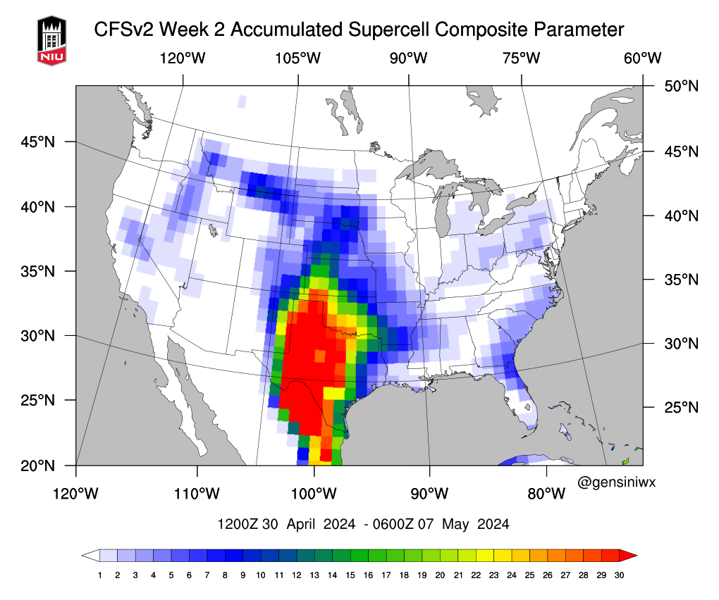
 The CPC's forecast of a wetter pattern after the 20th still looks on point to me.Models have been pretty consistently showing a cutoff low moving in from the pacific after the 20th of April. And producing cyclogenesis on the lee side of the Rockies.There will be some resistance from the ridging overhead initially. But the ridging will start to loose its grip over the area and slowly move over to the east as a large cut off low makes its way into the plains.Of course there's going to be run to run variability in surface depiction and QPF in this range as we're still 200+ hours away. But the overall pattern still looks good for storms at least up here it does.
 The CPC's forecast of a wetter pattern after the 20th still looks on point to me.Models have been pretty consistently showing a cutoff low moving in from the pacific after the 20th of April. And producing cyclogenesis on the lee side of the Rockies.There will be some resistance from the ridging overhead initially. But the ridging will start to loose its grip over the area and slowly move over to the east as a large cut off low makes its way into the plains.Of course there's going to be run to run variability in surface depiction and QPF in this range as we're still 200+ hours away. But the overall pattern still looks good for storms at least up here it does.Very good agreement among the global models in this range showing a strong cutoff (maybe even a Baja Low) crashing into the west coast.