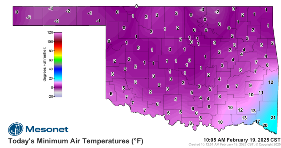
Ntxw wrote:13 wind chill -7.
Now 12F with light snow and 2.0 visibility

ICON had the best handle on this airmass, CMC close second.
To reiterate and document just how terrible the GFS is with low level arctic outbreaks of this magnitude (due to its low resolution and physical limitations), this is the past 10 GFS Op runs from yesterday for DFW....it never got below 20F for its forecasted Wednesday morning low at DFW (ranged from 20-24F), the unofficial low at DFW appears to be 12F! An 8-12F temp bust from 24-72 hours out. It's much better with qpf and upper levels, but do not trust it's temperature depictions in these setups! Once you recognize the setup, it's best to discount the GFS temp forecast substantially. Hopefully pro mets and weather apps will pay attention to this flaw more in the future because it's becoming a pattern, we've seen it way too many times over the years on this forum to ignore.

 The posts in this forum are NOT official forecast and should not be used as such. They are just the opinion of the poster and may or may not be backed by sound meteorological data. They are NOT endorsed by any professional institution or


