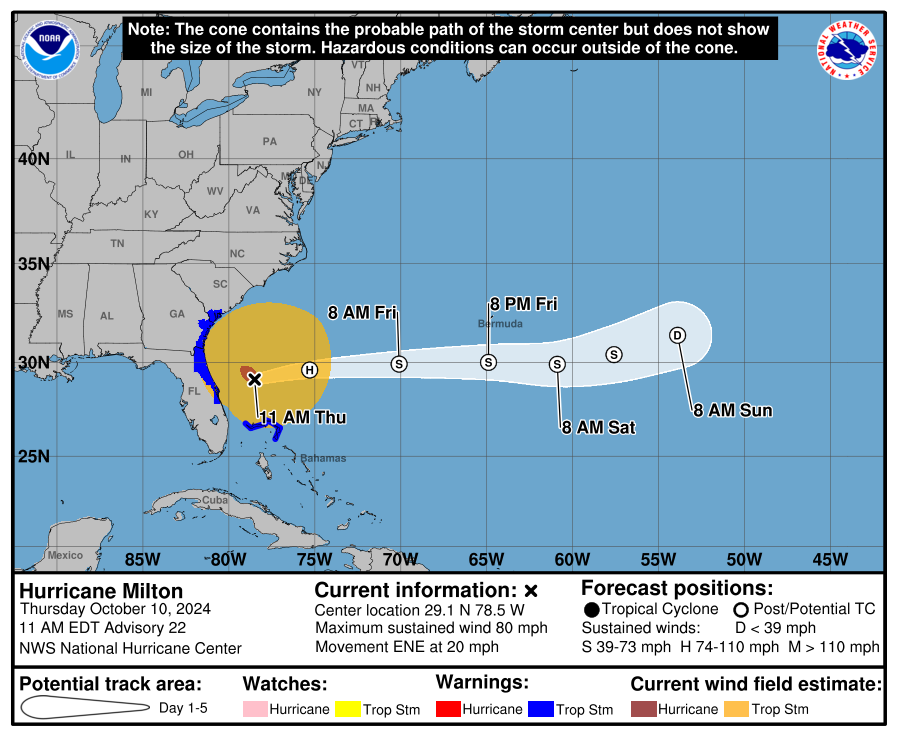
I am so thankful this did not make landfall north of Tampa Bay. That north jog yesterday morning made me nervous for awhile. Better to evacuate and be safe than to be caught in a surprise at the last minute. I have no regrets warning folks about a possible devastating surge there. The landfall point along southern Longboat Key was well within my ‘discomfort zone.’ Hats off to the NHC. Their accuracy now compared to a few decades ago is astounding. They do an amazing job.
You could see the storm decouple on radar shortly after landfall. This was easy by comparing the circulation centers (velocity setting) from the Tampa and Melbourne radar sites. They were at different locations on radar confirming the MLC was racing off ahead of the LLC. Fascinating storm to watch. The tornado outbreak will be studied for a long time.
Saw a livestream from IRB. No surge damage from Milton. Some additional wind damage and the residents describe the wind as the most intense of any storm. Some places on the Pinellas islands have power. Bridges are already back open. The Pinellas beach towns are resuming cleanup efforts quickly.
Looks like Venice down to Charlotte Harbor got nailed by the surge. Let’s not forget those folks just because it wasn’t Tampa Bay.
Hope everyone stays safe.


