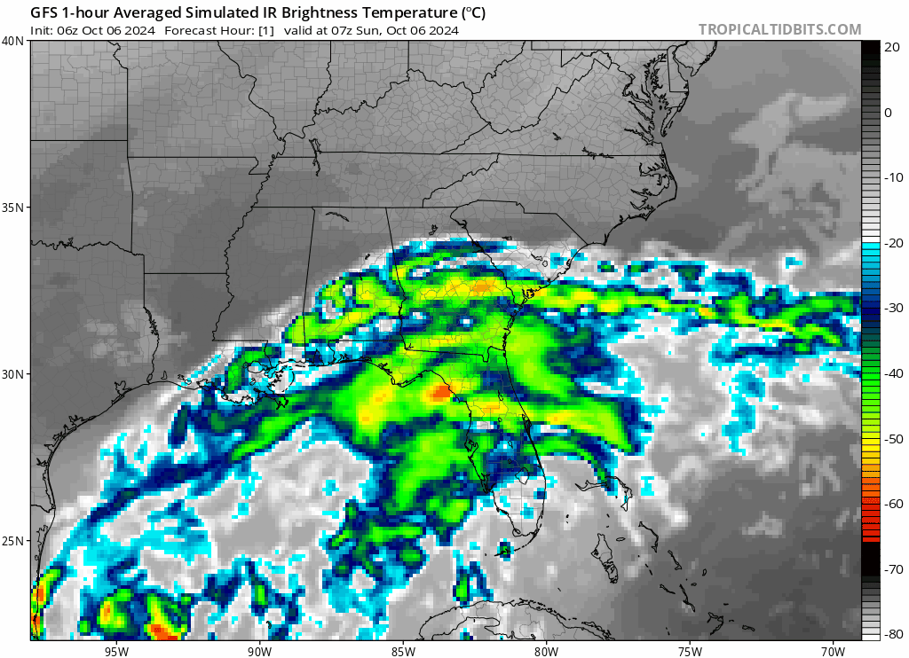
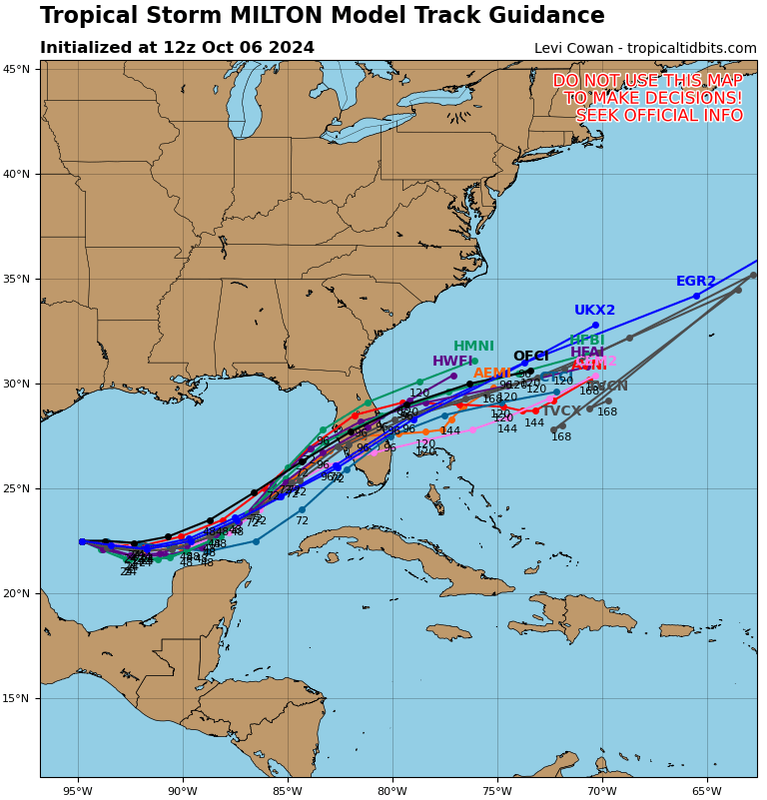
ronjon wrote:Think we're seeing a slight shift south in the guidance this morning in addition to some mixed signals on strength. Euro the last couple of runs into Sarasota. The ICON, UKMET, and CMC sticking to their southern tracks near Ft Myers. GFS still into Tampa Bay along with HWRF and HAF-A. I'm aware of the stronger storm more north trajectory but when I look back at Helene, ICON and Euro-AI nailed the track but were consistently weaker than the actual storm. So not sure stronger in model will always mean more northward track.
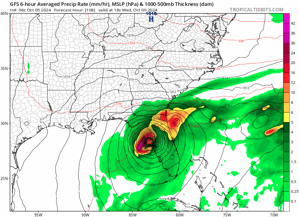
GFS pressure was not that much lower than the Euro and ICON, it had it in the high 940s mb 48 hrs before landfall, that was not that much way off than actual pressure at landfall. The Euro and ICON also had Helene's pressure down into the low 950s mb alos 48 hrs before landfall. They were not that much higher.
To be off ~10 mb for global models is not unusual.