

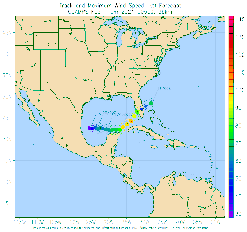
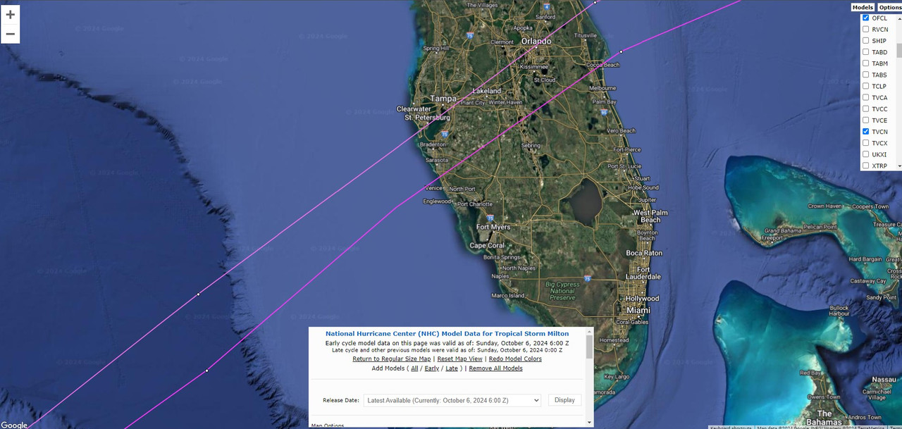
jlauderdal wrote:SFLcane wrote:jlauderdal wrote:They are TCVN huggers for good reason, they will nudge south at 11 as long as the tcvn is doing the same.
https://i.postimg.cc/wjr6gRQG/nnn.png
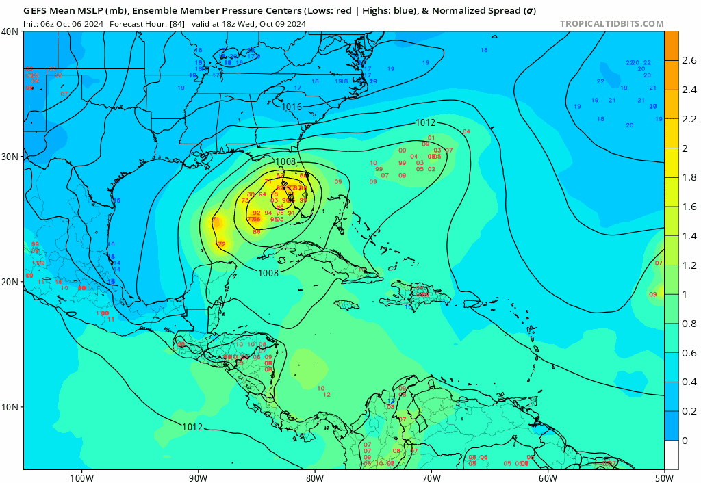
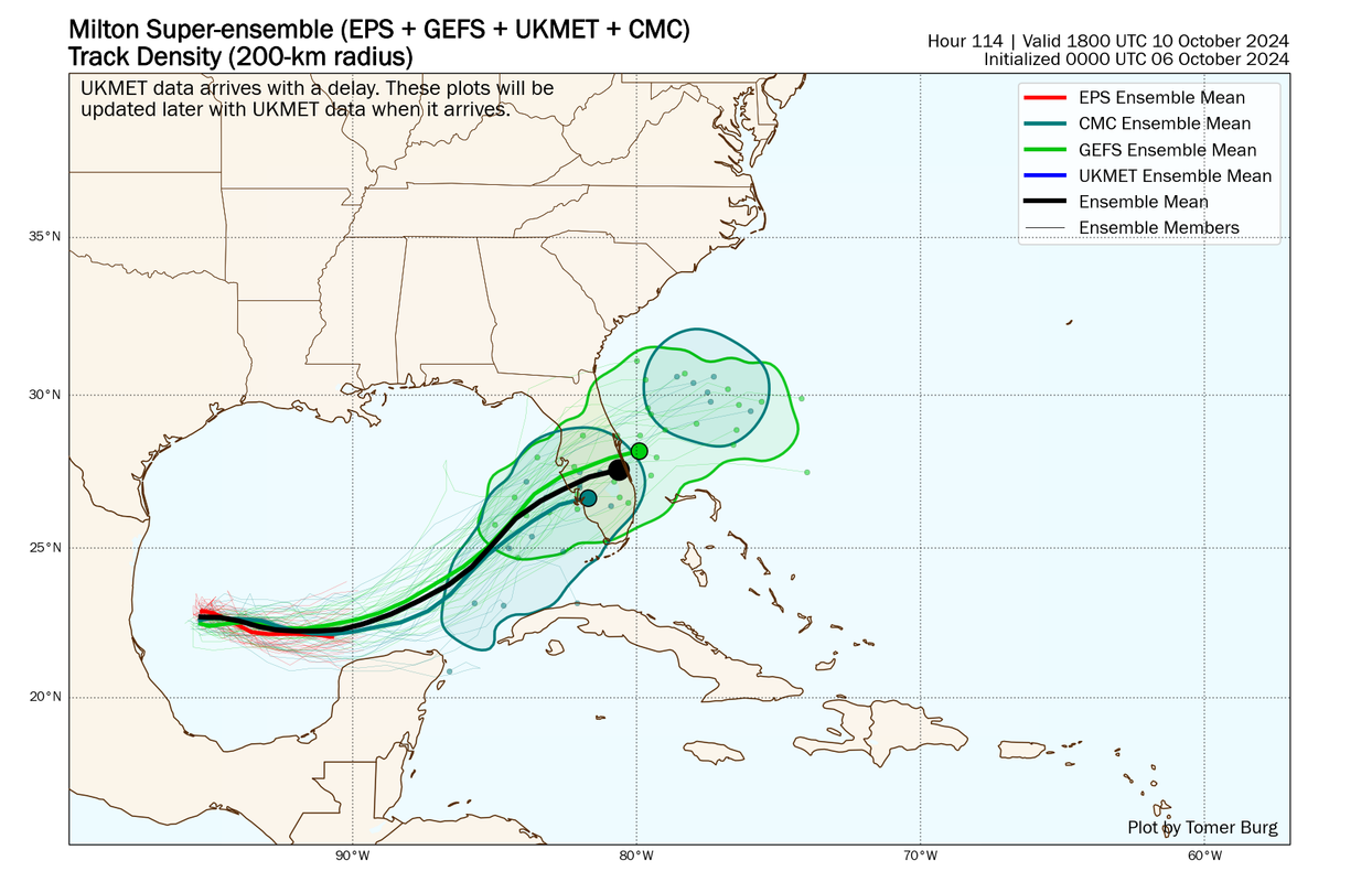
The model fight isnt going away today-this setup is far more complex than helene , need to continue to look at the means and consensus but the north trend has flipped for now.


