ATL: FRANCINE - Remnants - Discussion

Moderator: S2k Moderators

Message
Author
User avatar
GCANE
S2K Supporter
S2K Supporter
Posts: 11496
Joined: Mon Oct 22, 2007 8:03 am

Re: ATL: INVEST 91L - Discussion

#121 Postby GCANE » Sun Sep 08, 2024 10:41 am

underthwx wrote:
GCANE wrote:
Steve wrote:
Haha damnit G. Hook us up with a tease.


It's nothing conspiracy.
Just additional effects most people don't correlate TC intensification with.
So. I won't throw out the details.
Could also see some seismic activity in the area.
I'll leave it at that.

Bro.....you got my attention....talk about a cliff hanger....im curious...


I'll divulge more if it pans out.
1 likes   

User avatar
MGC
S2K Supporter
S2K Supporter
Posts: 5899
Joined: Sun Mar 23, 2003 9:05 pm
Location: Pass Christian MS, or what is left.

Re: ATL: INVEST 91L - Discussion

#122 Postby MGC » Sun Sep 08, 2024 11:10 am

Convective war zone down in the Gulf this morning. Looks like a sharp trough axis to me.....I see no well defined circulation, but one could be hiding in there somewhere. When and where a CC closes off if at all is anyone's guess. This has the potential to wrap up quickly as there is little shear over the disturbance currently. Looking like a Louisiana threat to me. Could be a major rainfall threat due to the recent heavy rains there......MGC
1 likes   

User avatar
cheezyWXguy
Category 5
Category 5
Posts: 6108
Joined: Mon Feb 13, 2006 12:29 am
Location: Dallas, TX

Re: ATL: INVEST 91L - Discussion

#123 Postby cheezyWXguy » Sun Sep 08, 2024 11:14 am

GFS seems to like the idea of an upper end scenario. Seems to show quite a favorable trough interaction
1 likes   

User avatar
Blinhart
Category 5
Category 5
Posts: 2079
Age: 48
Joined: Thu Sep 08, 2011 3:13 pm
Location: Crowley, La.

Re: ATL: INVEST 91L - Discussion

#124 Postby Blinhart » Sun Sep 08, 2024 11:26 am

Really shocked they haven't classified this as a PTC yet. Since it is within 5 days of potential landfall as a Hurricane, classifying it as a PTC would help state governments to start activating emergency protocols.
3 likes   
Personal Forecast Disclaimer:
The posts in this forum are NOT official forecast and should not be used as such. They are just the opinion of the poster and may or may not be backed by sound meteorological data. They are NOT endorsed by any professional institution or storm2k.org. For official information, please refer to the NHC and NWS products.

Sciencerocks
Category 5
Category 5
Posts: 9155
Age: 39
Joined: Thu Jul 06, 2017 1:51 am

Re: ATL: INVEST 91L - Discussion

#125 Postby Sciencerocks » Sun Sep 08, 2024 11:33 am

Image
0 likes   

User avatar
Teban54
Category 5
Category 5
Posts: 3204
Joined: Sat May 19, 2018 1:19 pm

Re: ATL: INVEST 91L - Discussion

#126 Postby Teban54 » Sun Sep 08, 2024 11:33 am

MGC wrote:Convective war zone down in the Gulf this morning. Looks like a sharp trough axis to me.....I see no well defined circulation, but one could be hiding in there somewhere. When and where a CC closes off if at all is anyone's guess. This has the potential to wrap up quickly as there is little shear over the disturbance currently. Looking like a Louisiana threat to me. Could be a major rainfall threat due to the recent heavy rains there......MGC

I think the main (if not only) reason for the lack of a well-defined LLC is that 91L is merging with the circulation of ex-90L at the moment. Once that sorts out, it's game on.
0 likes   

underthwx
Category 5
Category 5
Posts: 2360
Joined: Sat Jul 30, 2011 2:14 pm
Location: Brazoria County Texas

Re: ATL: INVEST 91L - Discussion

#127 Postby underthwx » Sun Sep 08, 2024 11:35 am

GCANE wrote:
underthwx wrote:
GCANE wrote:
It's nothing conspiracy.
Just additional effects most people don't correlate TC intensification with.
So. I won't throw out the details.
Could also see some seismic activity in the area.
I'll leave it at that.

Bro.....you got my attention....talk about a cliff hanger....im curious...


I'll divulge more if it pans out.

Omg!....okay....fair enough!...
0 likes   

User avatar
GCANE
S2K Supporter
S2K Supporter
Posts: 11496
Joined: Mon Oct 22, 2007 8:03 am

Re: ATL: INVEST 91L - Discussion

#128 Postby GCANE » Sun Sep 08, 2024 11:35 am

Recon in the air
2 likes   

underthwx
Category 5
Category 5
Posts: 2360
Joined: Sat Jul 30, 2011 2:14 pm
Location: Brazoria County Texas

Re: ATL: INVEST 91L - Discussion

#129 Postby underthwx » Sun Sep 08, 2024 11:38 am

GCANE wrote:Recon in the air

Nice!!!...hey Gcane...any thoughts on what you feel that recon may discover out there?....
0 likes   

User avatar
Hurricaneman
Category 5
Category 5
Posts: 7351
Age: 45
Joined: Tue Aug 31, 2004 3:24 pm
Location: central florida

Re: ATL: INVEST 91L - Discussion

#130 Postby Hurricaneman » Sun Sep 08, 2024 11:52 am

They’re gonna find a sharp trough but could be enough circulation to call it a depression
0 likes   

IcyTundra
Category 5
Category 5
Posts: 1205
Joined: Mon Jun 07, 2021 9:32 pm
Location: Dickinson, Texas

Re: ATL: INVEST 91L - Discussion

#131 Postby IcyTundra » Sun Sep 08, 2024 12:01 pm

Blinhart wrote:Really shocked they haven't classified this as a PTC yet. Since it is within 5 days of potential landfall as a Hurricane, classifying it as a PTC would help state governments to start activating emergency protocols.


They only issue advisories for a PTC if they need to issue watches. Watches are issued roughly 48 hours before impacts begin (potential of TS force winds, storm surge) with how models have trended Mexico is unlikely to experience TS force winds or significant storm surge so it hasn't been necessary to classify this as a PTC. If a TD/TS still hasn't formed by tomorrow then we will likely see a PTC.
0 likes   

MarioProtVI
Category 4
Category 4
Posts: 935
Age: 24
Joined: Sun Sep 29, 2019 7:33 pm
Location: New Jersey

Re: ATL: INVEST 91L - Discussion

#132 Postby MarioProtVI » Sun Sep 08, 2024 12:09 pm

Hurricaneman wrote:They’re gonna find a sharp trough but could be enough circulation to call it a depression

It has gales already (confirmed by ASCAT) so it’d go right to Francine if designated
1 likes   

TomballEd
Category 2
Category 2
Posts: 690
Age: 61
Joined: Wed Aug 16, 2023 4:52 pm
Location: Spring/Klein area, not Tomball

Re: ATL: INVEST 91L - Discussion

#133 Postby TomballEd » Sun Sep 08, 2024 12:12 pm

MONTEGUT_LA wrote:
TomballEd wrote:
underthwx wrote:This is a quote from the morning forecast discussion, from Houston/Galveston NWS..."The weather Tuesday, Wednesday, and possibly Thursday will be
dictated by the eventual track of a materializing area of low
pressure that is currently in the Bay of Campeche. The system
could very well become the next named tropical storm of the 2024 Hurricane Season (see tropical discussion) as it moves northward, potentially along the Texas Coast. However, I want to focus on the word `potentially` in the previous sentence because there is no shortage of uncertainty regarding the system`s future track. This is due in large part to the low being in its formative stages. Track uncertainty will remain high until we are able to establish a more organized and coherent system. For anyone trying to make a rainfall forecast during the Tuesday-Thursday time frame, this uncertainty is downright frustrating"......so....monitor...wait....stayy informed...


Almost all ensemble mebers keep this offshore Texas and hit Louisiana, maybe near Abbeville, where the seafood is quite good. If #91L can stay close enough to the coast, the rains could be significant. For now, the GFS/Euro/Canadian ensemble total rainfall in SETX is not too extreme. GFS mid 970s slowly rising as the system approaches Louisiana would probably be a Cat 1 hurricane. Euro is barely a TS, but going by Canadian, GFS and the ICON, a strong TS or minimal hurricane seems the most likely.

91L is still a mess, but a mess with storm tops approaching -90*C, it should organize if the convection stays with it.


Our parish had well over 12" of rain the past few days. Unfortunately, i dont think we can handle much more. I heard reports of water in homes in Houma. We still have ppl in fema trailers as well.

Landfall at New Iberia- Morgan City puts us on the dirty side. Hopefully it jets out of here quick.


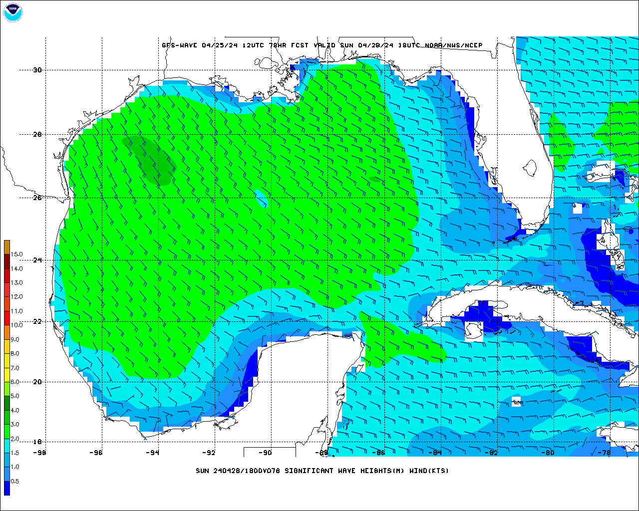
I used to go to Cocodrie, passing Houma, to catch a boat to near shore rigs. The vacation homes in Cocodrie are like Galveston, built on poles, but there are businesses not elevated. I used to go out of Fourchon a lot, Bayou Lafourche is protected from Mississippi flooding by a control structure, but any rain falling downstream, it is coming into the bayou, and also coming up from the bay. I'm not sure how wave heights correlate exactly to surge, especially as influenced by terrain, but 10 foot waves just offshore can't be good.
Image
0 likes   

User avatar
Hypercane_Kyle
Category 5
Category 5
Posts: 3352
Joined: Sat Mar 07, 2015 7:58 pm
Location: Cape Canaveral, FL

Re: ATL: INVEST 91L - Discussion

#134 Postby Hypercane_Kyle » Sun Sep 08, 2024 12:22 pm

Recon data being ingested later tonight will help a lot with the models.
0 likes   
My posts are my own personal opinion, defer to the National Hurricane Center (NHC) and other NOAA products for decision making during hurricane season.

User avatar
Ubuntwo
Category 5
Category 5
Posts: 1406
Age: 31
Joined: Thu Oct 05, 2017 10:41 pm

Re: ATL: INVEST 91L - Discussion

#135 Postby Ubuntwo » Sun Sep 08, 2024 12:24 pm

The north half/ex-90L looks more potent than GFS expectations, I expect something closer to the Euro/CMC solution intensity-wise given this current structure.
0 likes   
Kendall -> SLO -> PBC

Memorable Storms: Katrina (for its Florida landfall...) Wilma Matthew Irma

TomballEd
Category 2
Category 2
Posts: 690
Age: 61
Joined: Wed Aug 16, 2023 4:52 pm
Location: Spring/Klein area, not Tomball

Re: ATL: INVEST 91L - Discussion

#136 Postby TomballEd » Sun Sep 08, 2024 12:24 pm

The Vermillion River can flow backwards into Lafayette after heavy rains. I was never in LFT, in my almost 4 years there, for a TC, but elevated salt water levels in whatever that bay is called S of South Marsh Island and 8+ inches of rain, that could mean significant flooding. The GFS is probably not exactly right in track or intensity (definitely in the shrinking cluster of tracks, but stronger than the other globals) but this would be a bad scenario for Vermillion and Lafayette parishes.

Image
0 likes   

User avatar
GCANE
S2K Supporter
S2K Supporter
Posts: 11496
Joined: Mon Oct 22, 2007 8:03 am

Re: ATL: INVEST 91L - Discussion

#137 Postby GCANE » Sun Sep 08, 2024 12:39 pm

underthwx wrote:
GCANE wrote:Recon in the air

Nice!!!...hey Gcane...any thoughts on what you feel that recon may discover out there?....


Probably not much.
I think this will consolidate tomorrow
2 likes   

User avatar
cheezyWXguy
Category 5
Category 5
Posts: 6108
Joined: Mon Feb 13, 2006 12:29 am
Location: Dallas, TX

Re: ATL: INVEST 91L - Discussion

#138 Postby cheezyWXguy » Sun Sep 08, 2024 12:48 pm

GCANE wrote:
underthwx wrote:
GCANE wrote:Recon in the air

Nice!!!...hey Gcane...any thoughts on what you feel that recon may discover out there?....


Probably not much.
I think this will consolidate tomorrow

Yeah I’m still seeing two separate areas of low level rotation on visible, I don’t think it’s likely this will be named today.
0 likes   

TomballEd
Category 2
Category 2
Posts: 690
Age: 61
Joined: Wed Aug 16, 2023 4:52 pm
Location: Spring/Klein area, not Tomball

Re: ATL: INVEST 91L - Discussion

#139 Postby TomballEd » Sun Sep 08, 2024 12:57 pm

Recon just closed off one center, or at least very sharp trough. The remains of 90L. It may reach the stronger center soon, it looks close to where I'd guess the main circulation to be judging by satellite.
1 likes   

Bimms
Tropical Low
Tropical Low
Posts: 39
Joined: Thu Jul 30, 2020 11:24 am

Re: ATL: INVEST 91L - Discussion

#140 Postby Bimms » Sun Sep 08, 2024 12:57 pm

I'm wondering about the impacts to the Houston Metro. I remember with Beryl, a lot of people on here were saying it was going to miss, but I kept saying it was going to be a direct hit, and it was. Starting to get similar vibes with this one if it develops. What are you thoughts?
1 likes   


Return to “2024”

Who is online

Users browsing this forum: No registered users and 5 guests