MONTEGUT_LA wrote:TomballEd wrote:underthwx wrote:This is a quote from the morning forecast discussion, from Houston/Galveston NWS..."The weather Tuesday, Wednesday, and possibly Thursday will be
dictated by the eventual track of a materializing area of low
pressure that is currently in the Bay of Campeche. The system
could very well become the next named tropical storm of the 2024 Hurricane Season (see tropical discussion) as it moves northward, potentially along the Texas Coast. However, I want to focus on the word `potentially` in the previous sentence because there is no shortage of uncertainty regarding the system`s future track. This is due in large part to the low being in its formative stages. Track uncertainty will remain high until we are able to establish a more organized and coherent system. For anyone trying to make a rainfall forecast during the Tuesday-Thursday time frame, this uncertainty is downright frustrating"......so....monitor...wait....stayy informed...
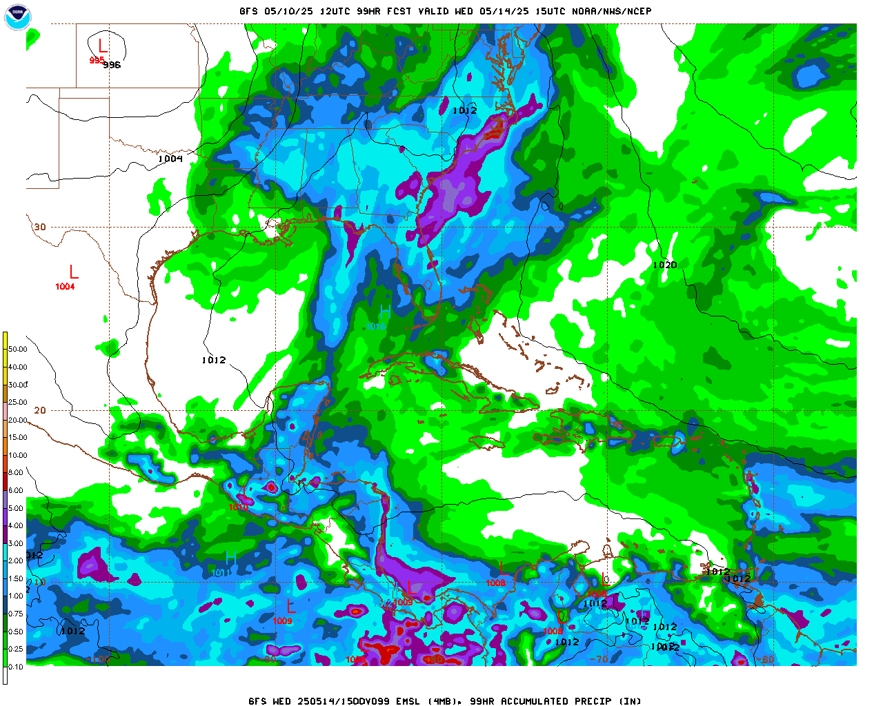
Almost all ensemble mebers keep this offshore Texas and hit Louisiana, maybe near Abbeville, where the seafood is quite good. If #91L can stay close enough to the coast, the rains could be significant. For now, the GFS/Euro/Canadian ensemble total rainfall in SETX is not too extreme. GFS mid 970s slowly rising as the system approaches Louisiana would probably be a Cat 1 hurricane. Euro is barely a TS, but going by Canadian, GFS and the ICON, a strong TS or minimal hurricane seems the most likely.
91L is still a mess, but a mess with storm tops approaching -90*C, it should organize if the convection stays with it.
Our parish had well over 12" of rain the past few days. Unfortunately, i dont think we can handle much more. I heard reports of water in homes in Houma. We still have ppl in fema trailers as well.
Landfall at New Iberia- Morgan City puts us on the dirty side. Hopefully it jets out of here quick.
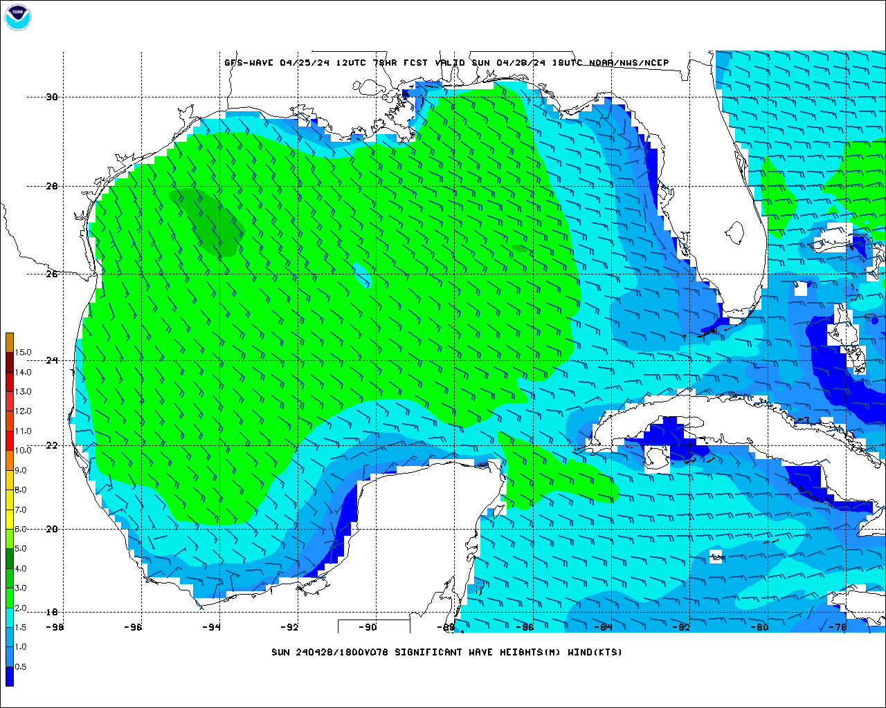
I used to go to Cocodrie, passing Houma, to catch a boat to near shore rigs. The vacation homes in Cocodrie are like Galveston, built on poles, but there are businesses not elevated. I used to go out of Fourchon a lot, Bayou Lafourche is protected from Mississippi flooding by a control structure, but any rain falling downstream, it is coming into the bayou, and also coming up from the bay. I'm not sure how wave heights correlate exactly to surge, especially as influenced by terrain, but 10 foot waves just offshore can't be good.


