The story of 90L and the front that it's entangled with may not be over... at least just yet. 90L or whatever remains of it will likely be elongating and reaching Newfoundland this weekend. The front that it's tied with will continue to gradually move out over the central Atlantic, but ridging will rapidly become established in its wake over the northeastern United States next week in part due to the tremendous amount of heat that's expected to be
unleashed in the upper-troposphere by thunderstorms associated with the Central American Gyre. While the main headliner with that ridge is the
heat wave that's expected to impact much of the Eastern US, the secondary effect is that this ridge might pull straggling parts of the front back west. It's a bit of a the "ridge over troubled water" scenario, only the subtropical waters at 33N aren't
that troubled this time of year.
But, there is an outside shot that something could develop from the vorticity that gets siphoned from the front by the ridge. The odds of this happening are higher the farther south vorticity coalesces, as sea surface temperatures are closer to 26C near 30N and drop quickly to 23C near 35N east of Bermuda. There is some weak model support for such a system developing, such as on the
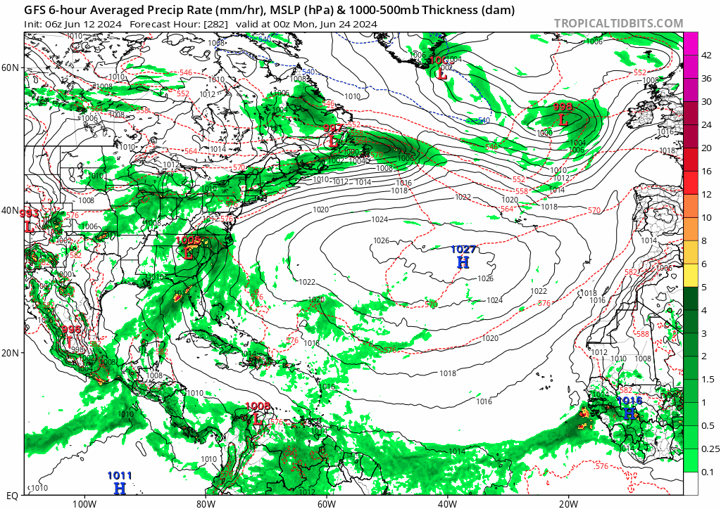
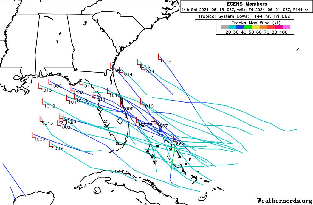
GFS and the
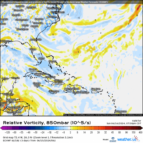
ECWMF, though in all likelihood whatever does form - if it does - will likely be weak given the marginal waters and a lack of the usual upper-air troughing that storms in the subtropics tend to rely on this early in the hurricane season.
Source: TropicalTidbits


