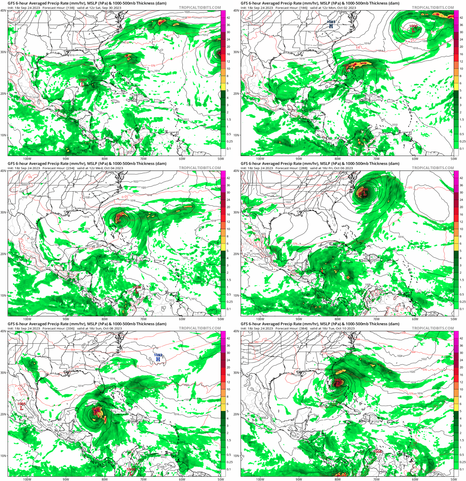
ThunderForce wrote:Category5Kaiju wrote:Most recent CMC run seems to suggest two more storms forming (including the 10/40 AOI (91L) and another one right off the Eastern Seaboard) in the coming week or so.

Quite a few models seem to be suggesting something trying to form somewhere near the Eastern Seaboard around Friday/Saturday. 06z GFS, 00z Euro and 00z CMC all seem to have some sort of low-pressure trying to deepen in that area around that timeframe.
This is related to the ridge over troubled waters idea of low pressure forming to the S of NE US/SE Canada high pressure due to lower level convergence leading to rising air and thus LP forming. If over warm enough waters like in this case, it can lead to TCG.
We can add the 12Z UKMET to the 12Z runs doing this just offshore the SE US on Thu (9/29) followed by very slow E movement for 3 days due to the blocking high sort of keeping it stuck:
NEW TROPICAL CYCLONE FORECAST TO DEVELOP AFTER 102 HOURS
FORECAST POSITION AT T+102 : 32.2N 78.8W
LEAD CENTRAL MAXIMUM WIND
VERIFYING TIME TIME POSITION PRESSURE (MB) SPEED (KNOTS)
-------------- ---- -------- ------------- -------------
0000UTC 29.09.2023 108 32.5N 77.1W 1011 29
1200UTC 29.09.2023 120 33.3N 76.6W 1010 29
0000UTC 30.09.2023 132 34.8N 75.0W 1010 32
1200UTC 30.09.2023 144 34.4N 74.1W 1009 36
0000UTC 01.10.2023 156 33.4N 73.4W 1007 34
1200UTC 01.10.2023 168 33.1N 72.4W 1005 34


