


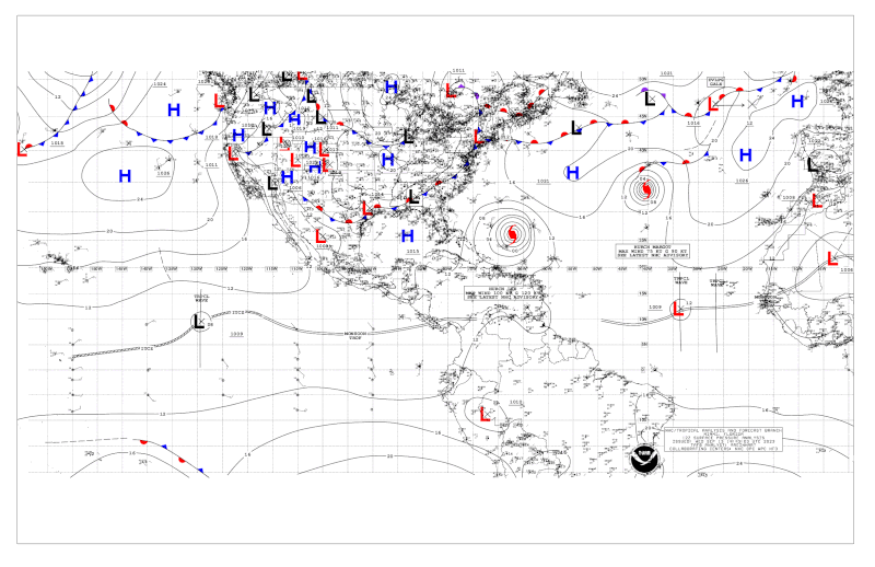
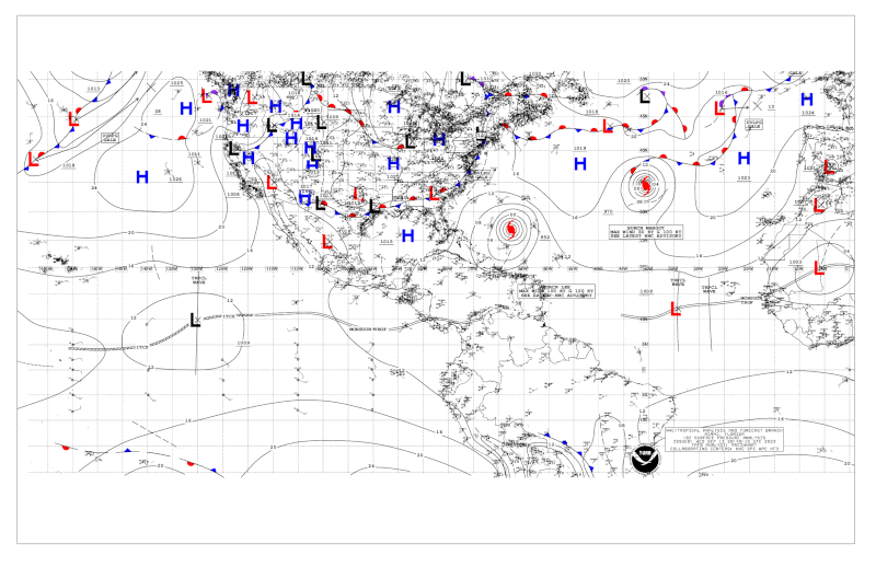
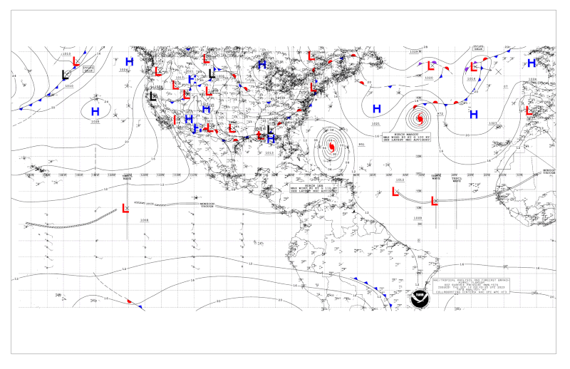
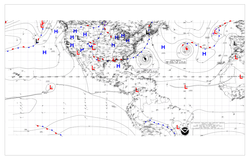
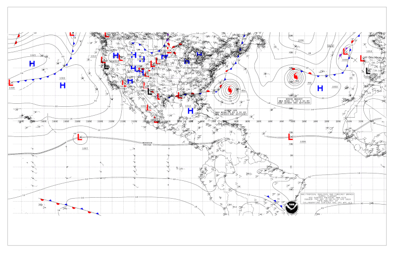
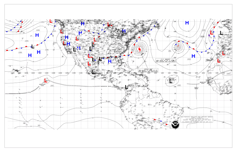
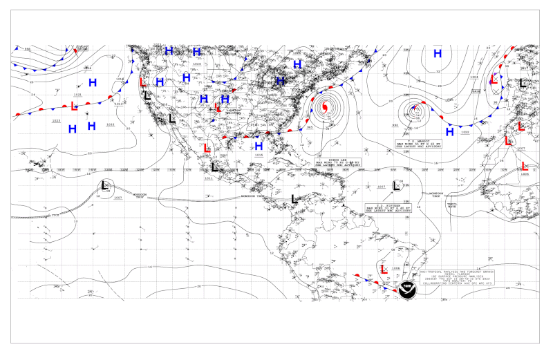
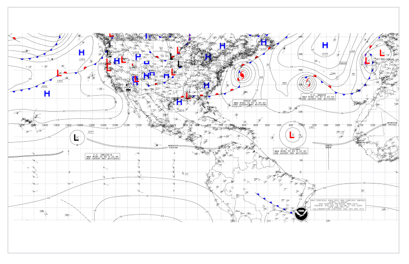
NOAA 12Z surface analysis:
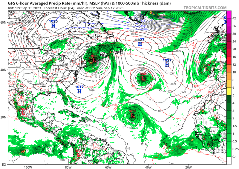
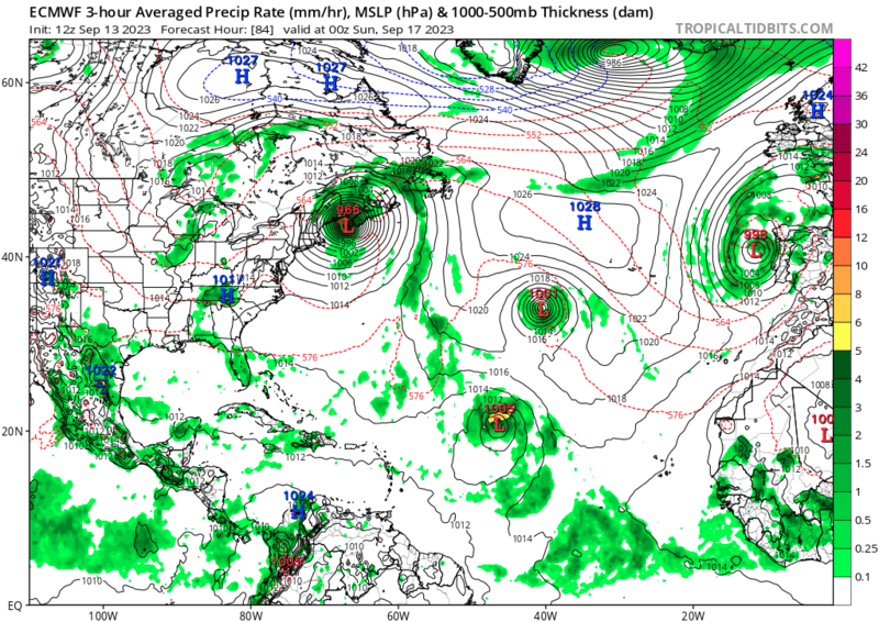
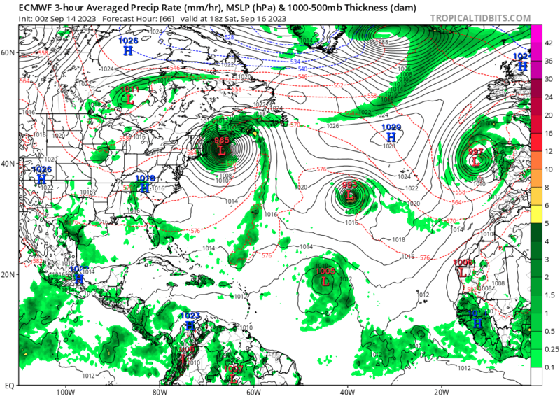
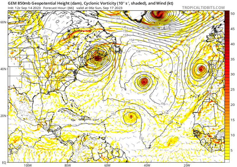
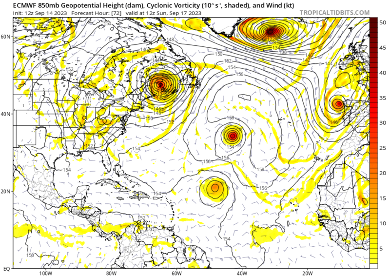
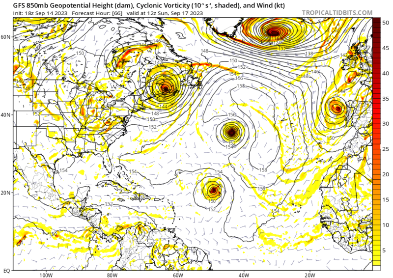
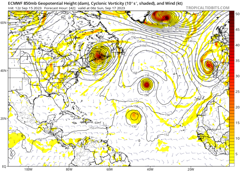
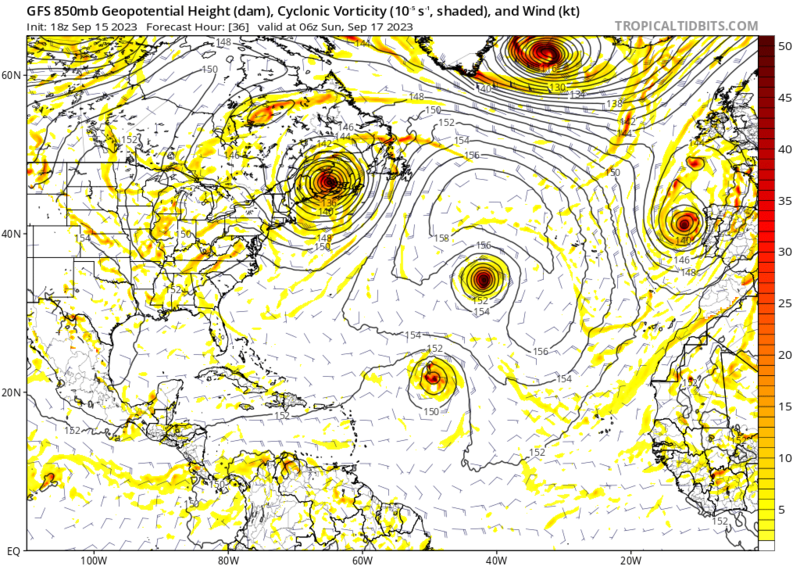
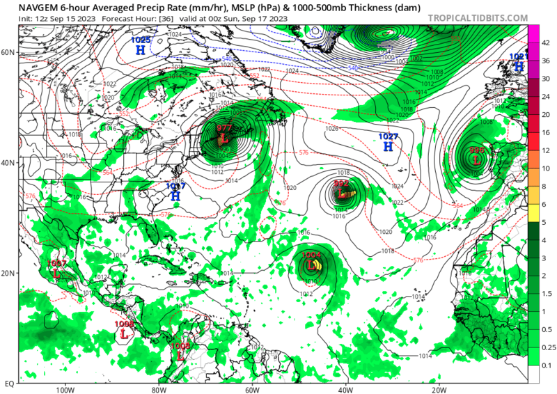
The GFS, ECMWF, and ICON all expect this low to move southward towards the coast of Iberia where they indicate development of a subtropical cyclone is possible. On the GFS and ECMWF, model sounding also indicates a thermal pattern more akin to a tropical cyclone, where the equivalent potential temperature is higher at sea level than at 700 mb.
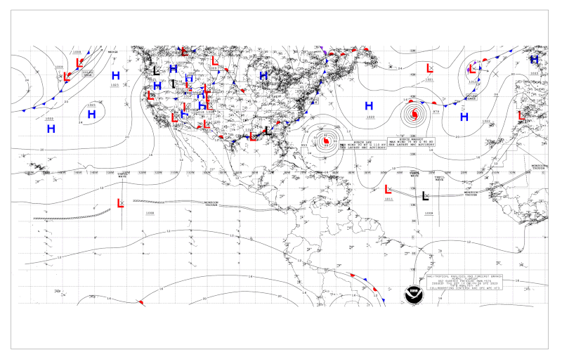
GFS 12Z run:
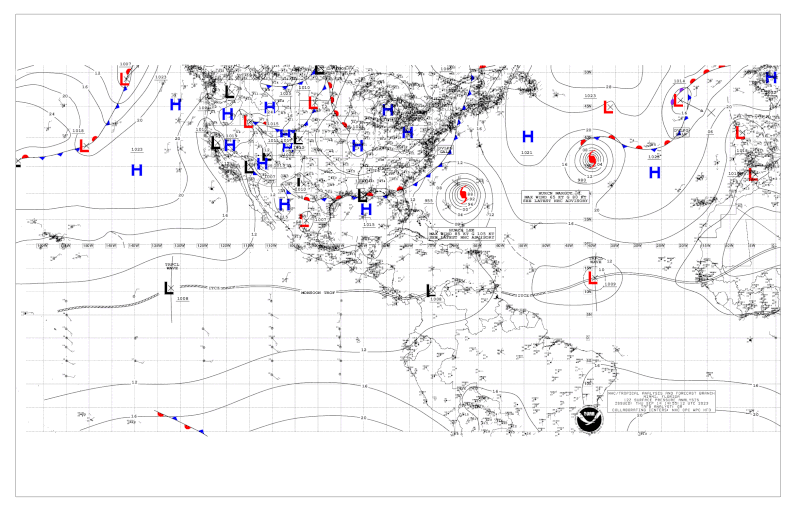
ECMWF 12Z run:
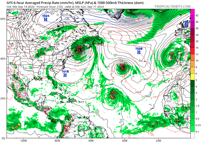
ICON 18Z run:
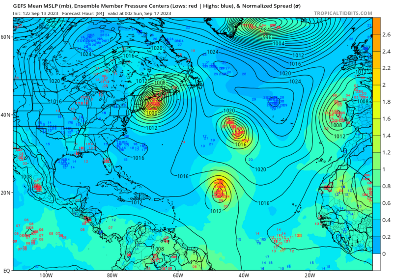
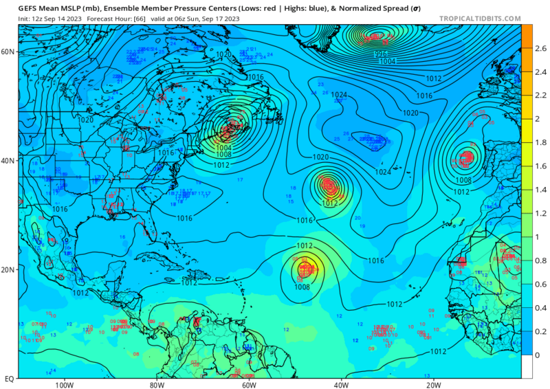
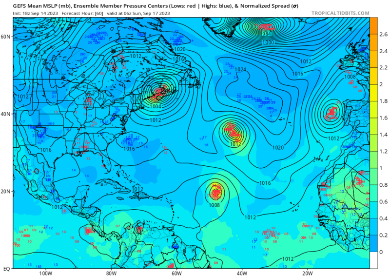
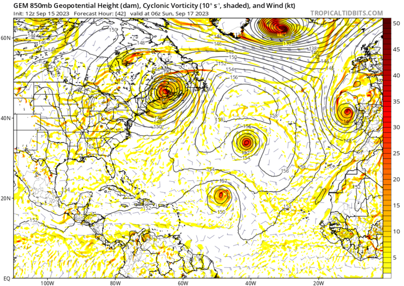
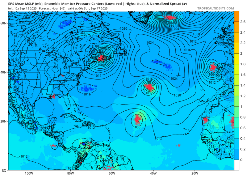
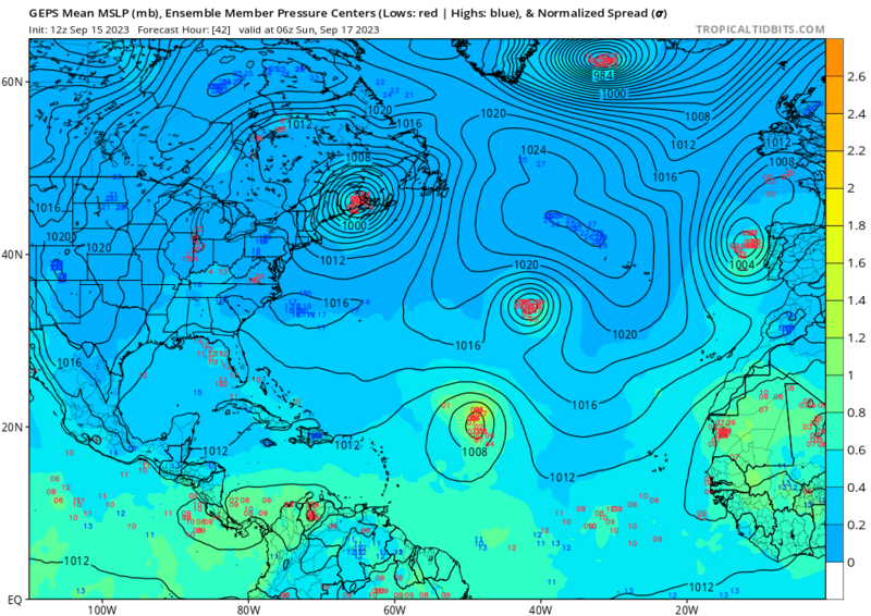
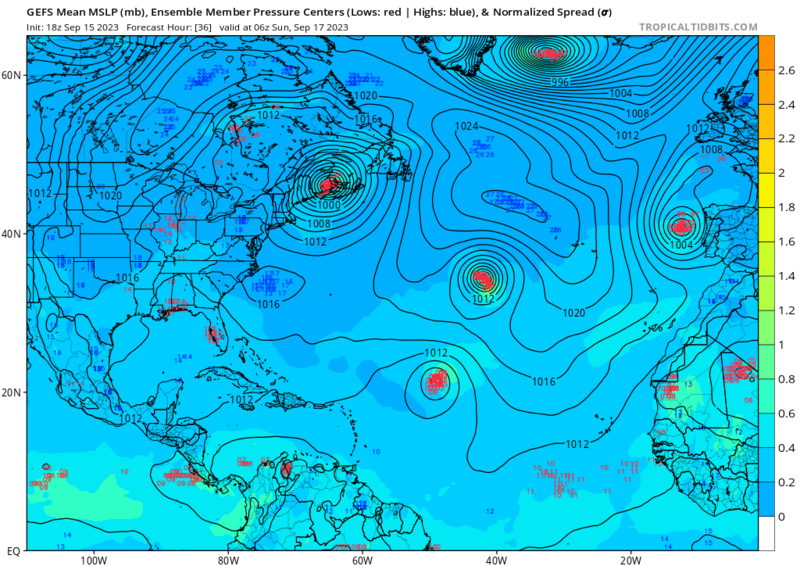
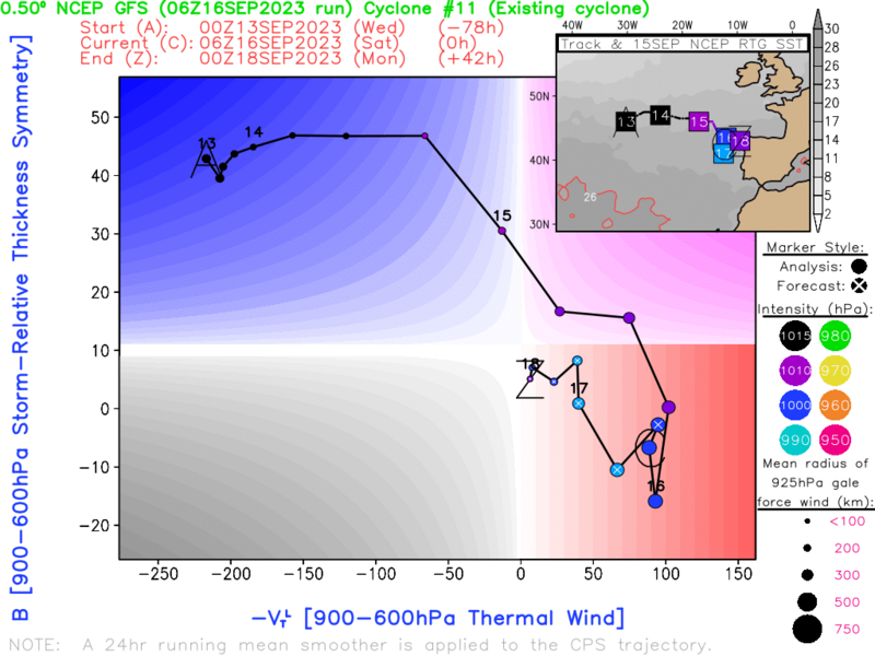
There is also heavy ensemble support for this system developing on the coast of Iberia, with both the GEFS and the EPS ensembles showing strong support for this system.
GEFS 12Z run:
EPS 12Z run:
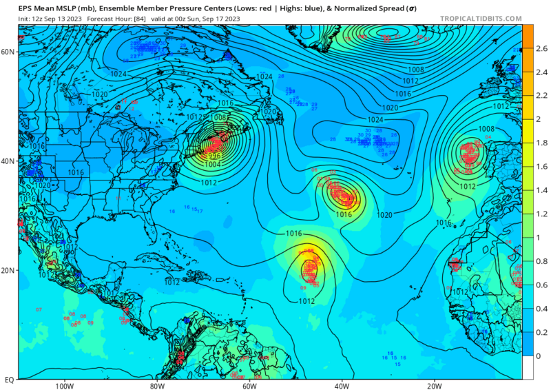 photo hosting
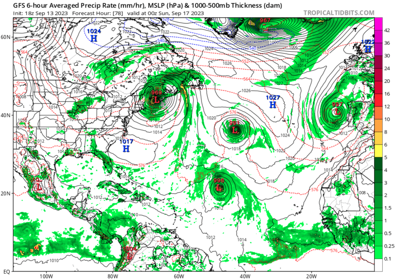


