


gatorcane wrote:NDG wrote:gatorcane wrote:Some aclimatological MDR activity could be a harbinger of an above normal or hyperactive Atlantic season, but a stout wall of shear looks to be sitting around Lesser Antilles and points wests which should be the demise of any system that tries to head west. That outcome would be supported by climatology but with an El Niño, and possibly a strong one, expected during the Atlantic peak months, what we are seeing now could also be a rinse and repeat come later, namely activity over the far eastern Atlantic and MDR only for systems to get sheared and struggle if they try to make a run west, unless they recurve and head north into the open Atlantic where better conditions would be present.
Compared to past El Ninos shear is currently much lower across the Caribbean & Atlantic MDR where it is usually fairly strong already in June as the El Nino cranks up. What is different this time is that where we usually find less wind shear during El Ninos is across the subtropical Atlantic, is the other way around this time so far. Time will tell but climate models continue to show much lower shear than you would expect during a moderate to strong El Nino during JAS period.
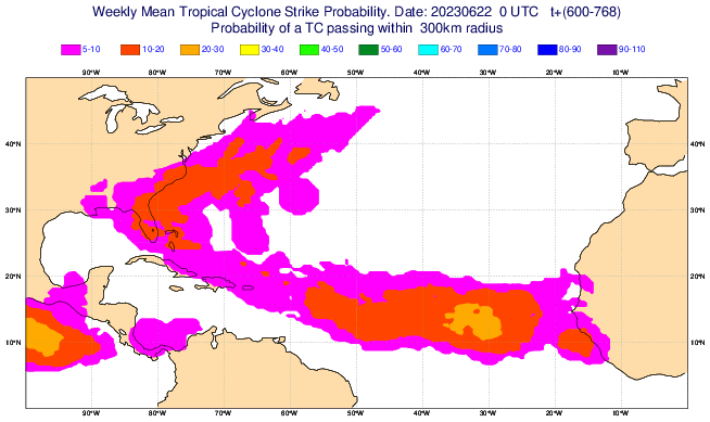
https://i.imgur.com/hdxMXj5.gif
The Atlantic may very well crank out a number of Cape Verde storms this year due to higher than normal SSTs there but the shear zone should reside during the climatological peaks months across the Caribbean due to the El Niño. The configuration tends to put Florida and the Gulf coast as well as the Caribbean islands less at risk with a higher risk to Bermuda and the east coast of the US particularly the mid-Atlantic north.
The other thing to note is the persistent, anomalously strong troughiness we have seen across the Eastern US with west to southwest windflow across the Gulf, Florida, and out into the Bahamas which we have seen for basically the past month. At times we were seeing west winds with gusts to 30mph across portions of the peninsula in June indicative of a complete lack of any kind of Bermuda High. This pattern is common during El Niños and could be an indicator that threats from the east for Florida and the SE US might be substantially reduced and with the shear zone across the Caribbean, threats from the south could be as well.
Your general analysis is correct, but of course we should all be mindful and careful that sometimes storms can "sneak through the cracks," like we saw with 1965's Betsy and 1929's Hurricane Two, both of which brought impacts to Southeastern Florida and the Bahamas in an El Nino year.


