Seeing model consensus of something very weak briefly developing and drifting around in the central Gulf. They also show said system eventually dissipating without making landfall, which would be a rare occurrence.
ATL: ARLENE - Models
Moderator: S2k Moderators
- DorkyMcDorkface
- Category 2
- Posts: 745
- Age: 26
- Joined: Mon Sep 30, 2019 1:32 pm
- Location: Mid-Atlantic
ATL: ARLENE - Models
3 likes
Floyd 1999 | Isabel 2003 | Hanna 2008 | Irene 2011 | Sandy 2012 | Isaias 2020
- cycloneye
- Admin
- Posts: 139719
- Age: 67
- Joined: Thu Oct 10, 2002 10:54 am
- Location: San Juan, Puerto Rico
Re: ATL: INVEST 91L - Models
18z GFS.
0 likes
Visit the Caribbean-Central America Weather Thread where you can find at first post web cams,radars
and observations from Caribbean basin members Click Here
- DorkyMcDorkface
- Category 2
- Posts: 745
- Age: 26
- Joined: Mon Sep 30, 2019 1:32 pm
- Location: Mid-Atlantic
Re: ATL: INVEST 91L - Models
There's been a bit of an uptrend over the past three GFS runs today. The window is small but we'll see if we can squeeze out a brief TD/weak TS out of this before shear inevitably has it for lunch.
2 likes
Floyd 1999 | Isabel 2003 | Hanna 2008 | Irene 2011 | Sandy 2012 | Isaias 2020
- cycloneye
- Admin
- Posts: 139719
- Age: 67
- Joined: Thu Oct 10, 2002 10:54 am
- Location: San Juan, Puerto Rico
Re: ATL: INVEST 91L - Models
06z GFS.
0 likes
Visit the Caribbean-Central America Weather Thread where you can find at first post web cams,radars
and observations from Caribbean basin members Click Here
Re: ATL: INVEST 91L - Models
0 likes
- wxman57
- Moderator-Pro Met
- Posts: 22512
- Age: 66
- Joined: Sat Jun 21, 2003 8:06 pm
- Location: Houston, TX (southwest)
Re: ATL: INVEST 91L - Models
Look for any 21Z NHC track to be very close to this consensus track (TVCN). The system will likely be dissipating Saturday night west of Havana. Not much of it left to track NE toward south Florida or the Bahamas. Too much shear down there.
1 likes
Re: ATL: TWO - Models
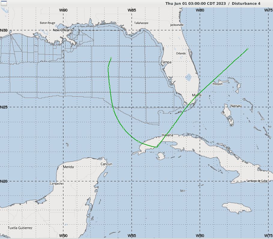
These slow southerly drifting storm tracks head east and northeast with the next front that comes along, they don't just descend all the way to Honduras.
Gulf upper air is fairly dry and there should be some shear that would disrupt a weak system ahead of the next front.
Tracking over Havana as a sheared system is certainly possible.
Just wondering about the confidence in the forecast at this point and are there any track similarities to early storms of other years?
1 likes
Who is online
Users browsing this forum: No registered users and 4 guests