

InfernoFlameCat wrote:Yellow Evan wrote:AJC3 wrote:
Neither of those estimates are close to being accurate. Nawar's intensity is very likely lower than it was 6 hours ago. The radar presentation has significantly degraded and shows the eyewall may be open on the north side.
Sure, it's still a beast, but let's pump the brakes on these off-the-chart cat-5 estimates.
https://i.imgur.com/teNujJ0.png
We’ve seen plenty of storms with reasonably similar structure at peak have Recon (Dean, Jagmi, Maria, Bess) and even some with warmer cloud tops (Andrew, Dorian, Irma). Anything above 150 knots is probably a reach though.
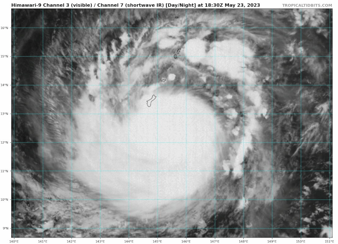
From https://journals.ametsoc.org/view/journals/wefo/25/5/2010waf2222375_1.xml#i1520-0434-25-5-1362-f03:
https://media.discordapp.net/attachments/619419338151034911/1110593174595981372/IMG_6775.jpg
Right, but it wasn’t sustained for long enough for the winds to catch up to that IR presentation. Irma maintained a phenomenal structure for days.
Irma reached 150 knots on the 12z on September 5 a few hours after reaching WMG - it didn’t need to sustain for days to become a Category 5.
Not convinced IR lag is important with in this instance. We’ve seen some ridiculous pressure drops with eyes of similar size (~10 nm). This storm was around T6.0/115 kts zone from 17z to 21z, leaving a ~9 hour window to drop 30 mbars or so to reach pressures indicative of >140 kts. It is possible that normal P-W relationship was not applicable here but given the lack of TCs with modern wind recon of this structure, I wouldn’t be confident in this.

The SMAP pass throws a wrench in to this, however. I’d wager anything between 130 and 150 knots is defendable though I’m not aware of how SMAP does with higher end TCs.


