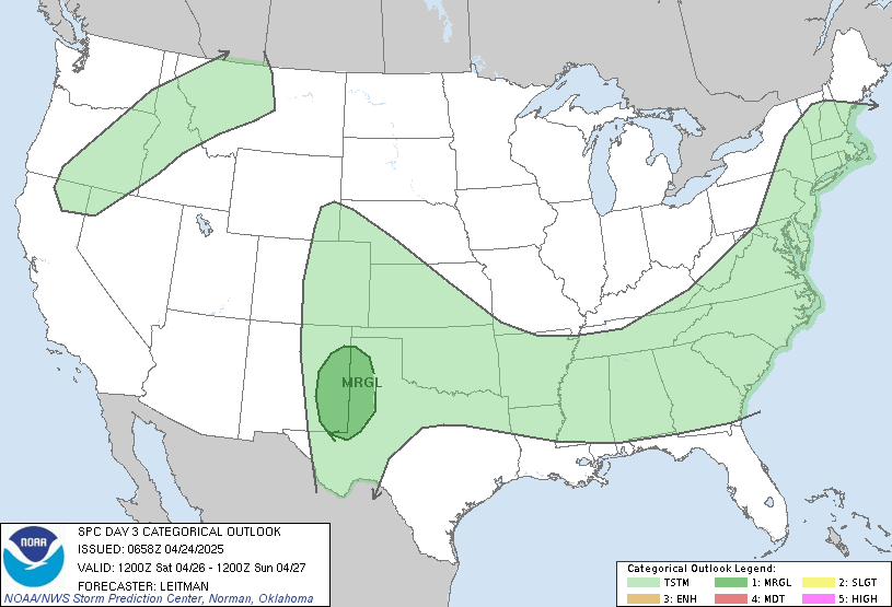
 https://www.spc.noaa.gov/products/outlook/day3otlk.html
 Day 3 Convective Outlook
NWS Storm Prediction Center Norman OK
0224 AM CDT Tue Mar 21 2023
Valid 231200Z - 241200Z
...THERE IS A SLIGHT RISK OF SEVERE THUNDERSTORMS FROM TEXAS HILL
COUNTRY ACROSS NORTHWEST/NORTH-CENTRAL TEXAS INTO SOUTHEAST
OKLAHOMA...
...SUMMARY...
Thunderstorms capable of hail, some very large, and damaging gusts
are possible Thursday afternoon through Friday morning across the
southern Plains.
...Synopsis...
The upper pattern early Thursday is forecast to consist of a western
CONUS trough and subtropical ridging centered over the Gulf of
Mexico. Enhanced mid-level westerly/southwesterly flow will persist
between these two features, extending from northern Mexico into the
Great Lakes region. A pair of shortwave troughs will be embedded
within the belt of stronger flow, one initially near the Mid MO
Valley and the other across southern AZ/northern Mexico. Both
shortwaves are expected to progress northeastward, with the second
shortwave moving through the southern High Plains during the
afternoon/evening, reaching KS/OK by early Friday morning.
The surface pattern Thursday morning will likely feature a low over
southern MI, with a cold front extending southwestward to another
low over northwest TX. The northern portion of the cold front will
remain progressive, moving eastward across the OH Valley. The
southern portion of the front (from northwest TX across OK) will
only make modest eastward/southeastward progress throughout the day,
as another low develops over west TX. This second low is then
expected to push northeastward along the front from Thursday evening
into Friday, moving from the Permian Basin into southeast OK. At it
does, an associated dryline will move eastward across southwest and
central TX.
...Southern Plains...
Low to mid 60s dewpoints are expected be in place along the front
early Thursday morning, likely increasing into the mid/upper 60s by
the late afternoon. This increasing low-level moisture coupled with
modest daytime heating should destabilize the airmass south of the
front by the late afternoon. Consequently, convergence along the
front is expected to result in thunderstorm development, likely
beginning over OK. Vertical shear will be strong, and the initial
more cellular development may produce hail. However, the slow-moving
front combined with the front-parallel orientation of the deep-layer
vertical shear suggests numerous storms and messy storm mode. This
could limit the overall severe potential across much of OK.
Farther south, thunderstorm development is anticipated ahead of the
deepening surface low expected to move into northwest TX during the
late afternoon/early evening. A more cross-boundary vertical shear
vector is anticipated here, supporting a greater potential for
supercells for at least a few hours. Very large hail is possible
with these storms as well as damaging gusts. As the low and
associated front continue eastward, storm coverage should increase
southward across the TX Hill Country/Edwards Plateau. Hail and
damaging gusts are possible with this line of storms as it moves
eastward toward the I-35 corridor early Friday morning.
..Mosier.. 03/21/2023


