Texas Fall 2022
Moderator: S2k Moderators
Forum rules

The posts in this forum are NOT official forecast and should not be used as such. They are just the opinion of the poster and may or may not be backed by sound meteorological data. They are NOT endorsed by any professional institution or STORM2K.
-
Iceresistance

- Category 5

- Posts: 9592
- Age: 22
- Joined: Sat Oct 10, 2020 9:45 am
- Location: Tecumseh, OK/Norman, OK
Re: Texas Fall 2022
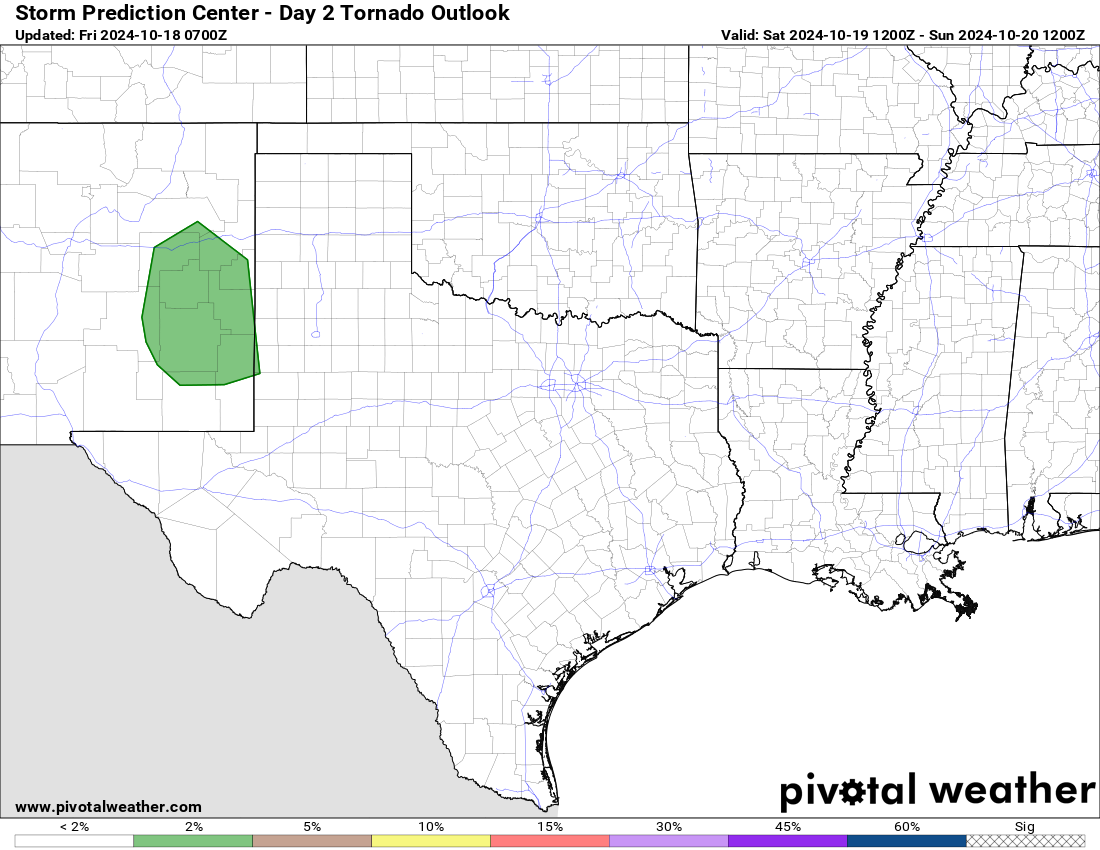
Day 2 Updated, Enhanced risk is now much larger.
0 likes
Bill 2015 & Beta 2020
Winter 2020-2021
All observations are in Tecumseh, OK unless otherwise noted.
Winter posts are focused mainly for Oklahoma & Texas.
Take any of my forecasts with a grain of salt, refer to the NWS, SPC, and NHC for official information
Never say Never with weather! Because ANYTHING is possible!
Winter 2020-2021
All observations are in Tecumseh, OK unless otherwise noted.
Winter posts are focused mainly for Oklahoma & Texas.
Take any of my forecasts with a grain of salt, refer to the NWS, SPC, and NHC for official information
Never say Never with weather! Because ANYTHING is possible!
-
HockeyTx82
- S2K Supporter

- Posts: 2797
- Joined: Tue Oct 27, 2009 11:17 am
- Location: Ponder, TX
Re: Texas Fall 2022
Iceresistance wrote:Day 2 Updated, Enhanced risk is now much larger.
And more east now, west side stays the same.
0 likes
Don't hold me accountable for anything I post on this forum. Leave the real forecasting up to the professionals.
Location: Ponder, TX (all observation posts are this location unless otherwise noted)
Location: Ponder, TX (all observation posts are this location unless otherwise noted)
-
Iceresistance
- Category 5
- Posts: 9592
- Age: 22
- Joined: Sat Oct 10, 2020 9:45 am
- Location: Tecumseh, OK/Norman, OK
Re: Texas Fall 2022
HockeyTx82 wrote:Iceresistance wrote:Day 2 Updated, Enhanced risk is now much larger.
And more east now, west side stays the same.
The SPC may have pushed the western edge of the Enhanced risk further east if it was not for the Mesoscale models trending west again or not trending east anymore. JMO
0 likes
Bill 2015 & Beta 2020
Winter 2020-2021
All observations are in Tecumseh, OK unless otherwise noted.
Winter posts are focused mainly for Oklahoma & Texas.
Take any of my forecasts with a grain of salt, refer to the NWS, SPC, and NHC for official information
Never say Never with weather! Because ANYTHING is possible!
Winter 2020-2021
All observations are in Tecumseh, OK unless otherwise noted.
Winter posts are focused mainly for Oklahoma & Texas.
Take any of my forecasts with a grain of salt, refer to the NWS, SPC, and NHC for official information
Never say Never with weather! Because ANYTHING is possible!
-
cheezyWXguy

- Category 5
- Posts: 6282
- Joined: Mon Feb 13, 2006 12:29 am
- Location: Dallas, TX
Re: Texas Fall 2022
Iceresistance wrote:HockeyTx82 wrote:Iceresistance wrote:Day 2 Updated, Enhanced risk is now much larger.
And more east now, west side stays the same.
The SPC may have pushed the western edge of the Enhanced risk further east if it was not for the Mesoscale models trending west again or not trending east anymore. JMO
The Euro trended slightly west too, fires up storms even west of Tarrant and Denton counties by 18z
0 likes

Re: Texas Fall 2022
SPC's 10% hatched area looks pretty good. If the prefrontal storms/supercells don't get too crowded, look out.
NE TX east of Hwy 75 and along and north of I-20 (and even southward some) looks like the hot spot.
NE TX east of Hwy 75 and along and north of I-20 (and even southward some) looks like the hot spot.
0 likes

Re: Texas Fall 2022
https://www.facebook.com/photo.php?fbid ... 868&type=3
For some reason the link isn't working, but the enhanced area takes in all of Tarrant County and the far Eastern portion of Wise and Parker county from just West of Azle down through Aledo now.
For some reason the link isn't working, but the enhanced area takes in all of Tarrant County and the far Eastern portion of Wise and Parker county from just West of Azle down through Aledo now.
0 likes
-
bubba hotep

- S2K Supporter
- Posts: 6014
- Joined: Wed Dec 28, 2016 1:00 am
- Location: Collin County Texas
Re: Texas Fall 2022
10% Hatch stretches pretty far south.
0 likes
Winter time post are almost exclusively focused on the DFW area.
-
bubba hotep
- S2K Supporter
- Posts: 6014
- Joined: Wed Dec 28, 2016 1:00 am
- Location: Collin County Texas
Re: Texas Fall 2022
See some similarities to this setup... https://www.weather.gov/fwd/dec26tornadoes
2 likes
Winter time post are almost exclusively focused on the DFW area.
-
cheezyWXguy
- Category 5
- Posts: 6282
- Joined: Mon Feb 13, 2006 12:29 am
- Location: Dallas, TX
Re: Texas Fall 2022
bubba hotep wrote:See some similarities to this setup... https://www.weather.gov/fwd/dec26tornadoes
I was thinking about that last night. The bowling ball low and northward-racing supercells definitely feels similar.
4 likes
-
bubba hotep
- S2K Supporter
- Posts: 6014
- Joined: Wed Dec 28, 2016 1:00 am
- Location: Collin County Texas
Re: Texas Fall 2022
So do we get a MOD or HIGH for Collin County down towards Hillsboro and out towards a Canton to Paris line?
0 likes
Winter time post are almost exclusively focused on the DFW area.
-
HockeyTx82
- S2K Supporter
- Posts: 2797
- Joined: Tue Oct 27, 2009 11:17 am
- Location: Ponder, TX
Re: Texas Fall 2022
bubba hotep wrote:So do we get a MOD or HIGH for Collin County down towards Hillsboro and out towards a Canton to Paris line?
So your thoughts are mainly east of I35?
0 likes
Don't hold me accountable for anything I post on this forum. Leave the real forecasting up to the professionals.
Location: Ponder, TX (all observation posts are this location unless otherwise noted)
Location: Ponder, TX (all observation posts are this location unless otherwise noted)
Re: Texas Fall 2022
bubba hotep wrote:So do we get a MOD or HIGH for Collin County down towards Hillsboro and out towards a Canton to Paris line?
I think we'll get a moderate in that area east/northeast to Longview/Texarkana/SE OK. Don't think we'll see a high unless everything really comes together by mid day.
1 likes
-
bubba hotep
- S2K Supporter
- Posts: 6014
- Joined: Wed Dec 28, 2016 1:00 am
- Location: Collin County Texas
Re: Texas Fall 2022
HockeyTx82 wrote:bubba hotep wrote:So do we get a MOD or HIGH for Collin County down towards Hillsboro and out towards a Canton to Paris line?
So your thoughts are mainly east of I35?
I think we will see storms fire west of DFW but they won't reach mature supercell status until they are east of I35. Then it will be a question of how fast do things line out.
1 likes
Winter time post are almost exclusively focused on the DFW area.
-
somethingfunny

- ChatStaff

- Posts: 3926
- Age: 37
- Joined: Thu May 31, 2007 10:30 pm
- Location: McKinney, Texas
Re: Texas Fall 2022
I think if a storm fires up west or south of your location tomorrow, watch it like a hawk regardless of where I-35 is in relation to you.
2 likes
I am not a meteorologist, and any posts made by me are not official forecasts or to be interpreted as being intelligent. These posts are just my opinions and are probably silly opinions.
-
bubba hotep
- S2K Supporter
- Posts: 6014
- Joined: Wed Dec 28, 2016 1:00 am
- Location: Collin County Texas
Re: Texas Fall 2022
Latest from FWD and Dr. Timmer says he will be setting up just east of Dallas.
0 likes
Winter time post are almost exclusively focused on the DFW area.


Re: Texas Fall 2022
72F low this morning would have been a record daily highest minimum, however this evening will fall well below to be the daily low after front passage.
In other news SOi finally broke the long stretch positive. Should this continue a bit longer the mid November shake up will have another piece to help.
In other news SOi finally broke the long stretch positive. Should this continue a bit longer the mid November shake up will have another piece to help.
3 likes
The above post and any post by Ntxw is NOT an official forecast and should not be used as such. It is just the opinion of the poster and may or may not be backed by sound meteorological data. It is NOT endorsed by any professional institution including Storm2k. For official information, please refer to NWS products.
Help support Storm2K!
-
bubba hotep
- S2K Supporter
- Posts: 6014
- Joined: Wed Dec 28, 2016 1:00 am
- Location: Collin County Texas
Re: Texas Fall 2022
Ntxw wrote:72F low this morning
and muggy and the LLJ is just roaring out there. Feels like a North Texas svr wx day.
0 likes
Winter time post are almost exclusively focused on the DFW area.
-
Iceresistance
- Category 5
- Posts: 9592
- Age: 22
- Joined: Sat Oct 10, 2020 9:45 am
- Location: Tecumseh, OK/Norman, OK
Re: Texas Fall 2022
I'm already seeing warm sector storms trying to blow up in Oklahoma, one did near Watonga.
0 likes
Bill 2015 & Beta 2020
Winter 2020-2021
All observations are in Tecumseh, OK unless otherwise noted.
Winter posts are focused mainly for Oklahoma & Texas.
Take any of my forecasts with a grain of salt, refer to the NWS, SPC, and NHC for official information
Never say Never with weather! Because ANYTHING is possible!
Winter 2020-2021
All observations are in Tecumseh, OK unless otherwise noted.
Winter posts are focused mainly for Oklahoma & Texas.
Take any of my forecasts with a grain of salt, refer to the NWS, SPC, and NHC for official information
Never say Never with weather! Because ANYTHING is possible!
-
Iceresistance
- Category 5
- Posts: 9592
- Age: 22
- Joined: Sat Oct 10, 2020 9:45 am
- Location: Tecumseh, OK/Norman, OK
Re: Texas Fall 2022
I don't like this observed sounding at all. For reference, the DFW sounding has less instability than the OUN sounding! 

https://s1.gifyu.com/images/OUN-6-AM-sounding.gif
https://s1.gifyu.com/images/OUN-6-AM-sounding.gif
0 likes
Bill 2015 & Beta 2020
Winter 2020-2021
All observations are in Tecumseh, OK unless otherwise noted.
Winter posts are focused mainly for Oklahoma & Texas.
Take any of my forecasts with a grain of salt, refer to the NWS, SPC, and NHC for official information
Never say Never with weather! Because ANYTHING is possible!
Winter 2020-2021
All observations are in Tecumseh, OK unless otherwise noted.
Winter posts are focused mainly for Oklahoma & Texas.
Take any of my forecasts with a grain of salt, refer to the NWS, SPC, and NHC for official information
Never say Never with weather! Because ANYTHING is possible!
Return to “USA & Caribbean Weather”
Who is online
Users browsing this forum: Brushcountry, Cpv17, Greener, txtwister78 and 53 guests