Tropical Weather Outlook
NWS National Hurricane Center Miami FL
Issued by the NWS Weather Prediction Center College Park MD
200 PM EDT Tue Nov 1 2022
For the North Atlantic...Caribbean Sea and the Gulf of Mexico:
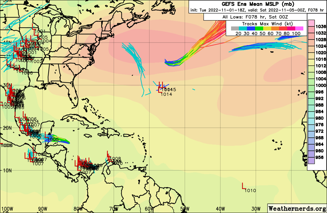
Southwestern Atlantic:
A broad area of low pressure is expected to develop over the weekend
across the southwestern tropical Atlantic or the eastern Caribbean.
low development of the system is possible as it moves generally
northward this weekend.
* Formation chance through 48 hours...low...near 0 percent.
* Formation chance through 5 days...low...20 percent.
NWS National Hurricane Center Miami FL
Issued by the NWS Weather Prediction Center College Park MD
200 PM EDT Tue Nov 1 2022
For the North Atlantic...Caribbean Sea and the Gulf of Mexico:
Southwestern Atlantic:
A broad area of low pressure is expected to develop over the weekend
across the southwestern tropical Atlantic or the eastern Caribbean.
low development of the system is possible as it moves generally
northward this weekend.
* Formation chance through 48 hours...low...near 0 percent.
* Formation chance through 5 days...low...20 percent.