

BULLETIN
Tropical Depression Eleven-E Advisory Number 2
NWS National Hurricane Center Miami FL EP112022
900 PM MDT Thu Sep 01 2022
...DEPRESSION EXPECTED TO BECOME A TROPICAL STORM TONIGHT OR ON
FRIDAY...
SUMMARY OF 900 PM MDT...0300 UTC...INFORMATION
----------------------------------------------
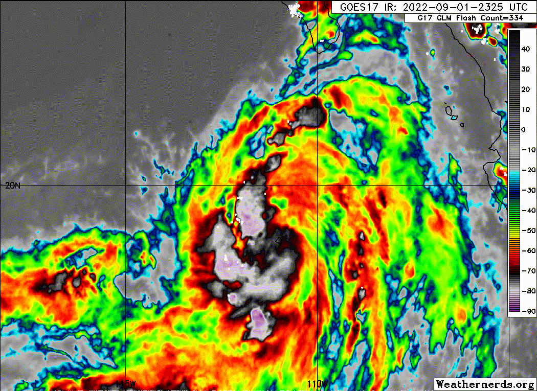
LOCATION...19.7N 111.3W
ABOUT 240 MI...385 KM SSW OF CABO SAN LUCAS MEXICO
MAXIMUM SUSTAINED WINDS...35 MPH...55 KM/H
PRESENT MOVEMENT...NW OR 320 DEGREES AT 10 MPH...17 KM/H
MINIMUM CENTRAL PRESSURE...1003 MB...29.62 INCHES
Tropical Depression Eleven-E Discussion Number 2
NWS National Hurricane Center Miami FL EP112022
900 PM MDT Thu Sep 01 2022
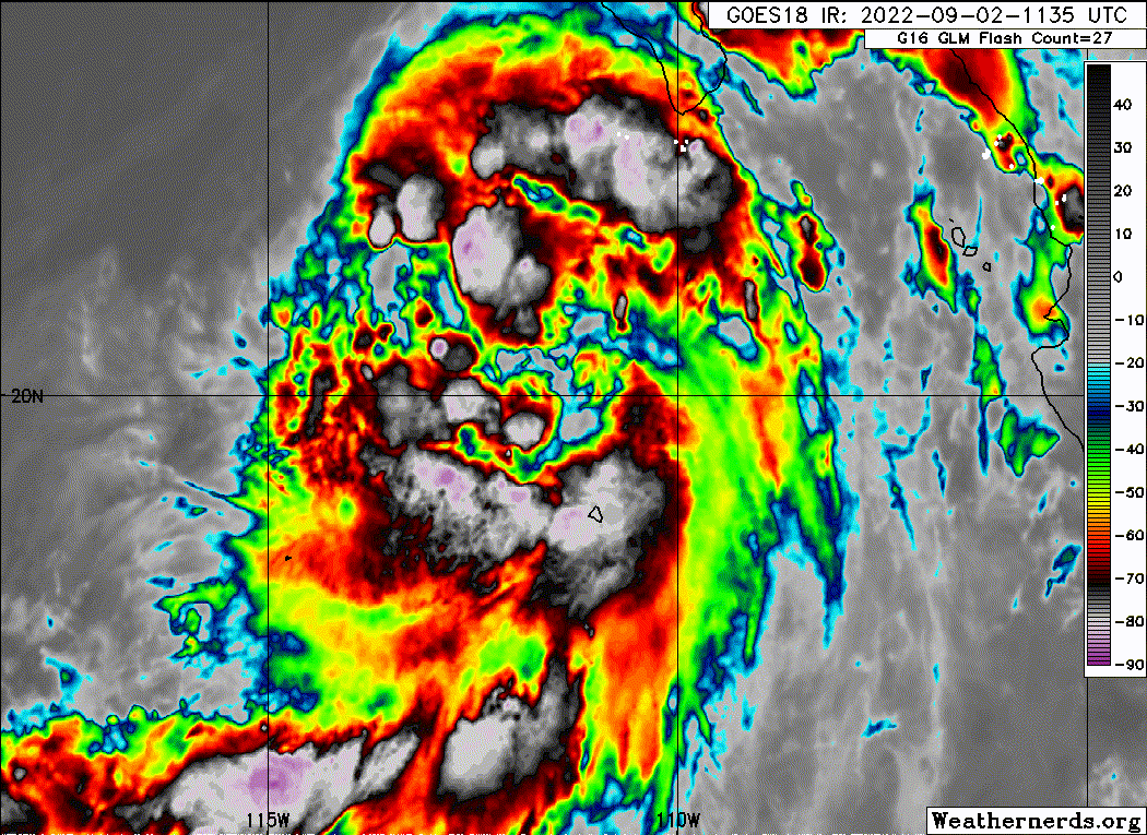
The depression is gradually getting better organized, with a recent
SSMIS microwave image showing a more continuous convective band
forming on the western side of the circulation. The initial
intensity remains 30 kt on this advisory, which is a blend of
T2.5/35 kt and T1.5/25 kt Dvorak estimates from TAFB and SAB,
respectively. The depression has the opportunity to strengthen
during the next 36 hours or so while it remains over warm waters and
in an environment of low shear, although any intensification is
likely to be gradual given the system's broad nature. The NHC
official forecast still shows a peak intensity of 45 kt in 36
hours, which is between the HCCA and IVCN consensus aids. The
system is expected to weaken after 36 hours as it moves over much
colder waters, and it is likely to lose all its deep convection and
become post tropical in 2 to 3 days.
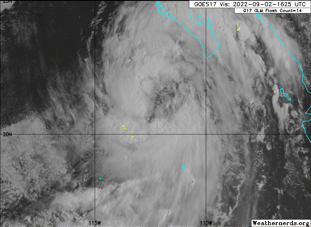
The depression remains on a steady northwestward track of 320/9 kt,
positioned along the western periphery of the subtropical ridge.
Over the next 2 days, a blocking ridge over the western United
States is expected to strengthen further, which will force the
cyclone to turn toward the west-northwest and west over the weekend.
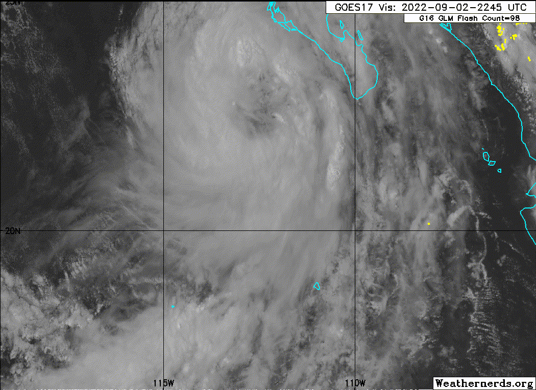
The updated NHC track forecast has been nudged northeastward
compared to the previous forecast based on the latest suite of
models, but the system's tropical-storm-force winds are expected to
remain well offshore of the western coast of Baja California Sur.
Winds aside, outer rainbands and large swells are expected to affect
portions of the southern and central Baja California peninsula coast
during the next couple of days.
FORECAST POSITIONS AND MAX WINDS
INIT 02/0300Z 19.7N 111.3W 30 KT 35 MPH
12H 02/1200Z 20.7N 112.2W 35 KT 40 MPH
24H 03/0000Z 22.5N 113.5W 40 KT 45 MPH
36H 03/1200Z 24.1N 115.4W 45 KT 50 MPH
48H 04/0000Z 25.2N 117.7W 40 KT 45 MPH
60H 04/1200Z 25.9N 120.2W 35 KT 40 MPH...POST-TROPICAL
72H 05/0000Z 26.1N 122.9W 30 KT 35 MPH...POST-TROP/REMNT LOW
96H 06/0000Z 25.5N 127.7W 25 KT 30 MPH...POST-TROP/REMNT LOW
120H 07/0000Z 25.0N 131.5W 25 KT 30 MPH...POST-TROP/REMNT LOW
$$
Forecaster Berg
Tropical Depression Eleven-E Advisory Number 2
NWS National Hurricane Center Miami FL EP112022
900 PM MDT Thu Sep 01 2022
...DEPRESSION EXPECTED TO BECOME A TROPICAL STORM TONIGHT OR ON
FRIDAY...
SUMMARY OF 900 PM MDT...0300 UTC...INFORMATION
----------------------------------------------
LOCATION...19.7N 111.3W
ABOUT 240 MI...385 KM SSW OF CABO SAN LUCAS MEXICO
MAXIMUM SUSTAINED WINDS...35 MPH...55 KM/H
PRESENT MOVEMENT...NW OR 320 DEGREES AT 10 MPH...17 KM/H
MINIMUM CENTRAL PRESSURE...1003 MB...29.62 INCHES
Tropical Depression Eleven-E Discussion Number 2
NWS National Hurricane Center Miami FL EP112022
900 PM MDT Thu Sep 01 2022
The depression is gradually getting better organized, with a recent
SSMIS microwave image showing a more continuous convective band
forming on the western side of the circulation. The initial
intensity remains 30 kt on this advisory, which is a blend of
T2.5/35 kt and T1.5/25 kt Dvorak estimates from TAFB and SAB,
respectively. The depression has the opportunity to strengthen
during the next 36 hours or so while it remains over warm waters and
in an environment of low shear, although any intensification is
likely to be gradual given the system's broad nature. The NHC
official forecast still shows a peak intensity of 45 kt in 36
hours, which is between the HCCA and IVCN consensus aids. The
system is expected to weaken after 36 hours as it moves over much
colder waters, and it is likely to lose all its deep convection and
become post tropical in 2 to 3 days.
The depression remains on a steady northwestward track of 320/9 kt,
positioned along the western periphery of the subtropical ridge.
Over the next 2 days, a blocking ridge over the western United
States is expected to strengthen further, which will force the
cyclone to turn toward the west-northwest and west over the weekend.
The updated NHC track forecast has been nudged northeastward
compared to the previous forecast based on the latest suite of
models, but the system's tropical-storm-force winds are expected to
remain well offshore of the western coast of Baja California Sur.
Winds aside, outer rainbands and large swells are expected to affect
portions of the southern and central Baja California peninsula coast
during the next couple of days.
FORECAST POSITIONS AND MAX WINDS
INIT 02/0300Z 19.7N 111.3W 30 KT 35 MPH
12H 02/1200Z 20.7N 112.2W 35 KT 40 MPH
24H 03/0000Z 22.5N 113.5W 40 KT 45 MPH
36H 03/1200Z 24.1N 115.4W 45 KT 50 MPH
48H 04/0000Z 25.2N 117.7W 40 KT 45 MPH
60H 04/1200Z 25.9N 120.2W 35 KT 40 MPH...POST-TROPICAL
72H 05/0000Z 26.1N 122.9W 30 KT 35 MPH...POST-TROP/REMNT LOW
96H 06/0000Z 25.5N 127.7W 25 KT 30 MPH...POST-TROP/REMNT LOW
120H 07/0000Z 25.0N 131.5W 25 KT 30 MPH...POST-TROP/REMNT LOW
$$
Forecaster Berg


