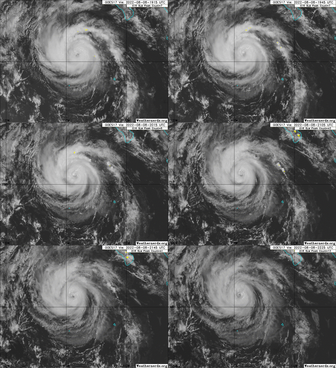
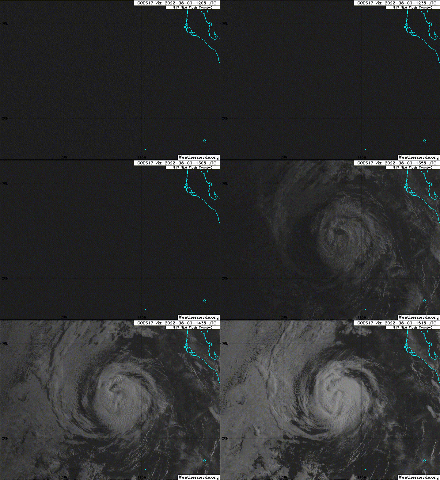
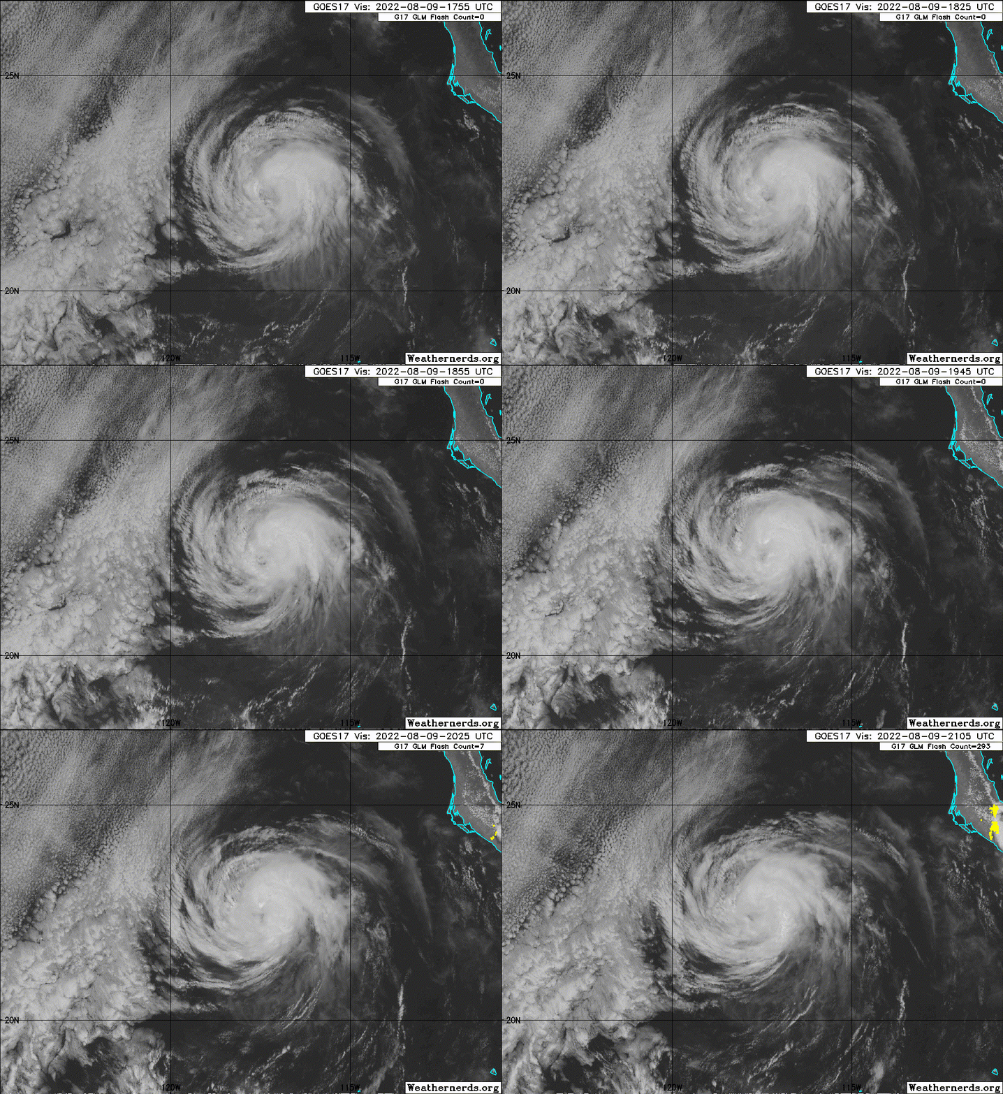
Hurricane Howard Advisory Number 10
NWS National Hurricane Center Miami FL EP092022
300 PM MDT Mon Aug 08 2022
...HOWARD RAPIDLY INTENSIFIES INTO THE SEVENTH HURRICANE OF THE
EASTERN NORTH PACIFIC SEASON...
SUMMARY OF 300 PM MDT...2100 UTC...INFORMATION
----------------------------------------------
LOCATION...20.6N 114.4W
ABOUT 330 MI...530 KM WSW OF THE SOUTHERN TIP OF BAJA CALIFORNIA
MAXIMUM SUSTAINED WINDS...80 MPH...130 KM/H
PRESENT MOVEMENT...NW OR 315 DEGREES AT 13 MPH...20 KM/H
MINIMUM CENTRAL PRESSURE...987 MB...29.15 INCHES
Hurricane Howard Discussion Number 10
NWS National Hurricane Center Miami FL EP092022
300 PM MDT Mon Aug 08 2022
Howard has continued to become better organized today, with an eye
now making an appearance on infrared and visible satellite imagery.
A 1433 UTC SSMIS pass indicated that deeper convective banding
surrounded the center more so than it did in the earlier AMSR-2
microwave pass. The latest subjective intensity estimates are 65 and
77 kt from TAFB and SAB, respectively. The above data support
raising the current intensity to 70 kt. A slight adjustment to the
wind radii was performed based on recent ASCAT passes.
Howard is still moving northwestward at 315/11 kt. The track
guidance remains in good agreement that the northwestward motion
will continue into Tuesday, as Howard is steered by a mid- to
upper-level ridge to its northeast. After that time, the cyclone
should gradually turn west-northwestward as the cyclone becomes
more vertically shallow and is increasingly steered by the
low-level trade wind flow. Only a slight adjustment to the left was
made to the track forecast for this advisory. The NHC track lies
between the middle of the guidance envelope and the previous
official forecast.
Howard likely has about another 12 hours to strengthen before it
crosses the 26 C sea surface temperature (SST) isotherm. After that
time, progressively cooler SSTs and drier mid-level air should cause
weakening. By 60 h, Howard is forecast to lose its convection and
become post-tropical. The NHC intensity forecast has been increased
during the first day to better match current intensity trends and
the latest IVCN and HCCA intensity guidance, but then falls in line
with the previous NHC forecast from 36 h onward. It should be noted
that the GFS-SHIPS rapid intensification guidance indicates a 32
percent chance of a 20 kt increase during the next 12 h, so it is
possible that the 12 h intensity forecast could be somewhat
conservative.
FORECAST POSITIONS AND MAX WINDS
INIT 08/2100Z 20.6N 114.4W 70 KT 80 MPH
12H 09/0600Z 21.5N 115.7W 75 KT 85 MPH
24H 09/1800Z 22.6N 117.4W 70 KT 80 MPH
36H 10/0600Z 23.4N 119.1W 60 KT 70 MPH
48H 10/1800Z 24.0N 120.8W 50 KT 60 MPH
60H 11/0600Z 24.5N 122.3W 40 KT 45 MPH...POST-TROPICAL
72H 11/1800Z 24.7N 123.6W 30 KT 35 MPH...POST-TROP/REMNT LOW
96H 12/1800Z 24.9N 125.7W 25 KT 30 MPH...POST-TROP/REMNT LOW
120H 13/1800Z...DISSIPATED
$$
Forecaster Hagen/Papin/Pasch


