Tropical Storm Celia Discussion Number 30
NWS National Hurricane Center Miami FL EP032022
900 PM MDT Thu Jun 23 2022
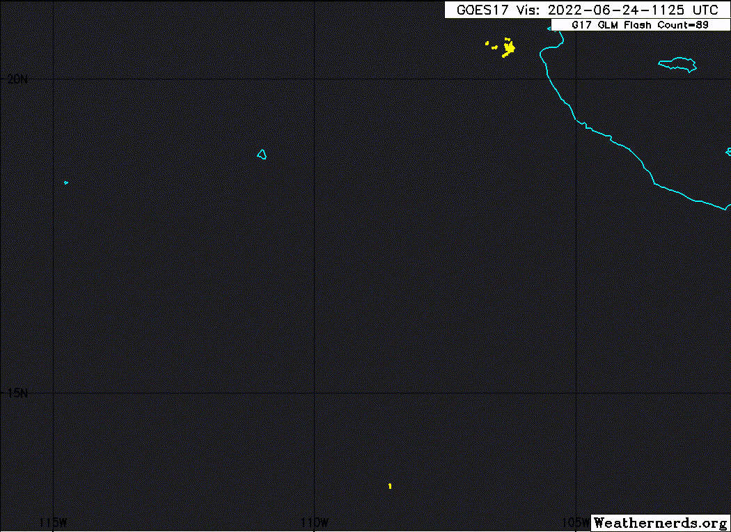
Celia continues to become better organized, as a ragged central
dense overcast has developed and widespread outer convective bands
are forming in the southeastern semicircle. Unfortunately, no
microwave overpasses are available to show what the structure is
under the overcast. The various subjective and objective intensity
estimates have not yet responded to the improved cloud pattern, so
the initial intensity is held at a possibly conservative 45 kt.
Celia is now in an environment of light to moderate shear, and these
conditions are likely to persist through the forecast period.
However, the cyclone is running out of warm water over which to
strengthen. Sea surface temperatures (SSTs) along the forecast
track decrease to about 26C in about 12 h, are in the 25-26C range
from 12-48 h, and then decrease below 25C after 60 h. Based on this
and the intensity guidance, Celia should strengthen for 24-36 h, and
the intensity forecast continues to show it becoming a hurricane
during this time. After 36 h, the cyclone is expected to slowly
weaken as it moves over the cooler water, eventually decaying to a
remnant low over 21C SSTs by 120 h. The new intensity forecast
follows the overall trend of the intensity guidance and shows lower
intensity than the previous forecast from 36-96 h.
The initial motion is now 295/8. A mid-level ridge over the
southern United States and northern Mexico is expected to build
westward to the north of Celia over the next few days, and this
should keep the cyclone moving generally west-northwestward with
some variation in forward speed. Near the end of the forecast
period, a more westward motion is forecast as the weakening cyclone
is steered more by low-level easterly flow. The guidance has
shifted a little north since the previous advisory, and the new
forecast track lies slightly north of the old track.
FORECAST POSITIONS AND MAX WINDS
INIT 24/0300Z 16.7N 107.6W 45 KT 50 MPH
12H 24/1200Z 17.0N 108.5W 55 KT 65 MPH
24H 25/0000Z 17.4N 109.6W 65 KT 75 MPH
36H 25/1200Z 17.7N 110.7W 65 KT 75 MPH
48H 26/0000Z 18.3N 111.7W 60 KT 70 MPH
60H 26/1200Z 19.0N 113.1W 55 KT 65 MPH
72H 27/0000Z 19.7N 114.9W 50 KT 60 MPH
96H 28/0000Z 21.0N 119.0W 40 KT 45 MPH
120H 29/0000Z 21.5N 123.5W 30 KT 35 MPH...POST-TROP/REMNT LOW
$$
Forecaster Beven
NWS National Hurricane Center Miami FL EP032022
900 PM MDT Thu Jun 23 2022
Celia continues to become better organized, as a ragged central
dense overcast has developed and widespread outer convective bands
are forming in the southeastern semicircle. Unfortunately, no
microwave overpasses are available to show what the structure is
under the overcast. The various subjective and objective intensity
estimates have not yet responded to the improved cloud pattern, so
the initial intensity is held at a possibly conservative 45 kt.
Celia is now in an environment of light to moderate shear, and these
conditions are likely to persist through the forecast period.
However, the cyclone is running out of warm water over which to
strengthen. Sea surface temperatures (SSTs) along the forecast
track decrease to about 26C in about 12 h, are in the 25-26C range
from 12-48 h, and then decrease below 25C after 60 h. Based on this
and the intensity guidance, Celia should strengthen for 24-36 h, and
the intensity forecast continues to show it becoming a hurricane
during this time. After 36 h, the cyclone is expected to slowly
weaken as it moves over the cooler water, eventually decaying to a
remnant low over 21C SSTs by 120 h. The new intensity forecast
follows the overall trend of the intensity guidance and shows lower
intensity than the previous forecast from 36-96 h.
The initial motion is now 295/8. A mid-level ridge over the
southern United States and northern Mexico is expected to build
westward to the north of Celia over the next few days, and this
should keep the cyclone moving generally west-northwestward with
some variation in forward speed. Near the end of the forecast
period, a more westward motion is forecast as the weakening cyclone
is steered more by low-level easterly flow. The guidance has
shifted a little north since the previous advisory, and the new
forecast track lies slightly north of the old track.
FORECAST POSITIONS AND MAX WINDS
INIT 24/0300Z 16.7N 107.6W 45 KT 50 MPH
12H 24/1200Z 17.0N 108.5W 55 KT 65 MPH
24H 25/0000Z 17.4N 109.6W 65 KT 75 MPH
36H 25/1200Z 17.7N 110.7W 65 KT 75 MPH
48H 26/0000Z 18.3N 111.7W 60 KT 70 MPH
60H 26/1200Z 19.0N 113.1W 55 KT 65 MPH
72H 27/0000Z 19.7N 114.9W 50 KT 60 MPH
96H 28/0000Z 21.0N 119.0W 40 KT 45 MPH
120H 29/0000Z 21.5N 123.5W 30 KT 35 MPH...POST-TROP/REMNT LOW
$$
Forecaster Beven