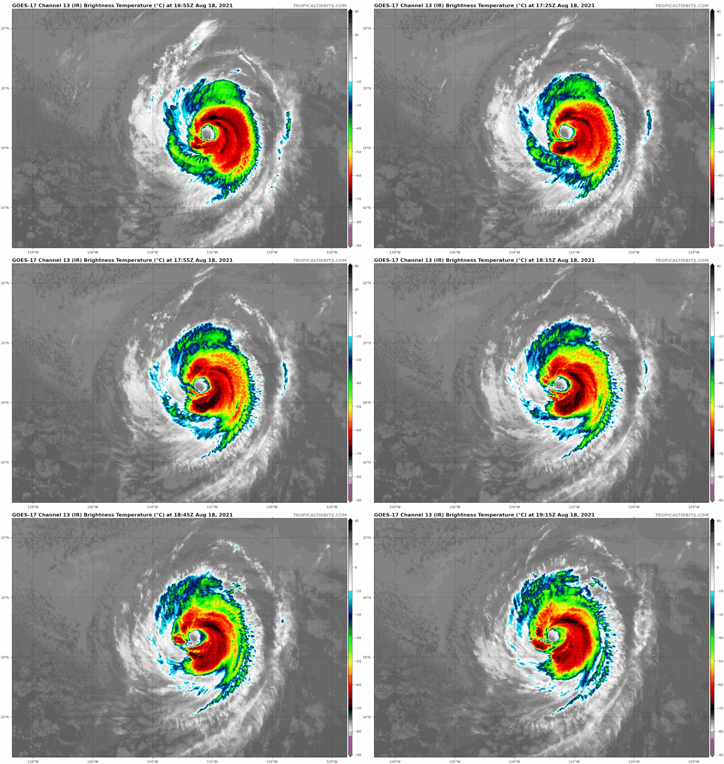
In regards to a Hawaii impact, still looks like nothing more than a weak TS and that's IF Linda can remain intact during its trek over very cold waters.
Good amount of EPS and GEFS members point towards Hawaii.


12z CMC continues to be the most southern model, pushing Linda into the Alenuihaha Channel.
12z Icon shows some sort of hit.
12z UKMET shifts back south a little closer to Oahu but still clears the island.
12z Euro also shifted back south and probably has a north Kauai landfall.
GFS/HWRF/HMON continue to clear Hawaii comfortably to the north. But the HWRF and HMON find a way to restrengthen this to 45-50kts @ the surface, and comfortable 60-70kt hurricane force gusts while being well north of Hawaii. Wonder how their forecasts would look if they shifted closer to Hawaii. Probably enough to make Maui or Oahu sweat a direct impact.


