Tropical Storm Ignacio Discussion Number 5
NWS National Hurricane Center Miami FL EP102021
300 PM MDT Mon Aug 02 2021
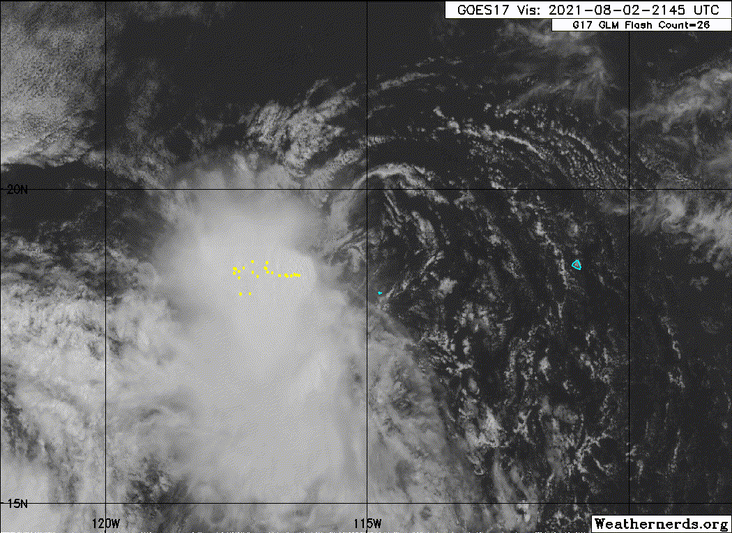
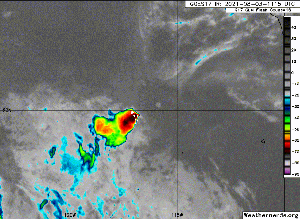
Ignacio appears to have peaked in intensity, with moderate-to-
strong northeasterly vertical wind shear having displaced most of
the deep convection into the southwestern semicircle of the
cyclone. The latest subjective satellite current intensity
estimates from TAFB and SAB remain at T2.5/35 kt, and objective
estimates from UW-CIMSS ADT and SATCON are 37 kt and 38 kt,
respectively. Based on these data, the intensity has been held at
35 kt, which could be generous. The center of Ignacio passed 15-20
nmi northeast of Clarion Island, Mexico, where the pressure fell to
1006.5 mb around 1400 UTC and the highest winds measured were
sustained 22 kt gusting to 33 kt according to a Mexican navy
observing station on the island. A pronounced wind shift from the
northeast to the southwest and west was also noted in the wind
data. However, wind speeds have been steadily decreasing over the
past several hours, an indication that the strongest winds are
likely occurring in the northeastern quadrant. Unfortunately, all
three ASCAT passes again missed the center and the strongest winds
associated with Ignacio.
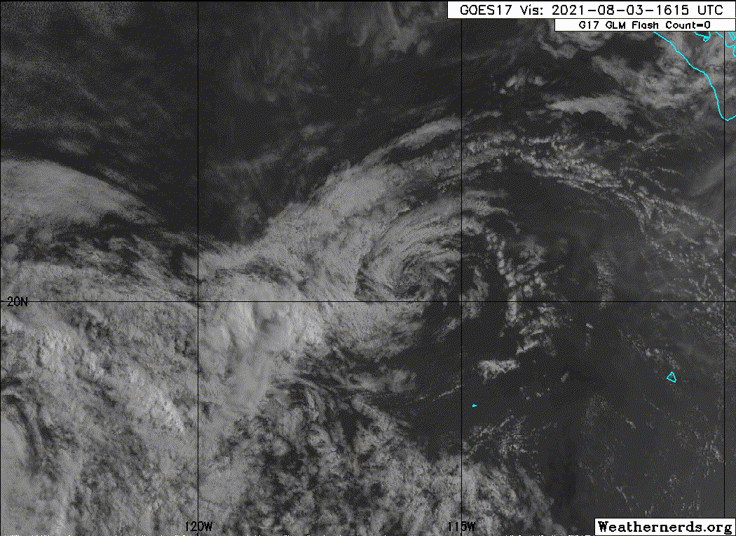
The initial motion estimate is 300/08 kt. No significant changes
were required to the previous track forecast. Ignacio is forecast to
maintain a west-northwestward motion between a strong
mid-/upper-level ridge to the north and Hurricane Hilda to the
southwest throughout the short forecast period. The new advisory
track forecast is similar the previous forecast track, and lies
along the left side of the consensus track models envelope.
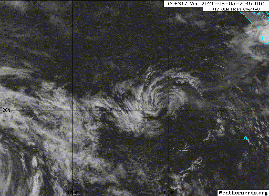
Ignacio is expected to gradually weaken during the next 48 hours due
to steadily increasing northeasterly vertical wind shear in excess
of 25 kt by 24 hours and beyond. By 18-24 hours, Ignacio will be
moving over sub-26C sea-surface temperatures, which will act to
hasten the weakening process, with dissipation expected by 60 hours,
if not sooner. The new NHC intensity forecast is similar to the
previous advisory and a blend of the NOAA-HCCA and IVCN consensus
intensity models.
FORECAST POSITIONS AND MAX WINDS
INIT 02/2100Z 18.8N 114.9W 35 KT 40 MPH
12H 03/0600Z 19.5N 116.0W 30 KT 35 MPH
24H 03/1800Z 20.4N 117.2W 25 KT 30 MPH
36H 04/0600Z 21.2N 118.1W 20 KT 25 MPH...POST-TROP/REMNT LOW
48H 04/1800Z 21.2N 118.9W 20 KT 25 MPH...POST-TROP/REMNT LOW
60H 05/0600Z...DISSIPATED
$$
Forecaster Stewart
NWS National Hurricane Center Miami FL EP102021
300 PM MDT Mon Aug 02 2021
Ignacio appears to have peaked in intensity, with moderate-to-
strong northeasterly vertical wind shear having displaced most of
the deep convection into the southwestern semicircle of the
cyclone. The latest subjective satellite current intensity
estimates from TAFB and SAB remain at T2.5/35 kt, and objective
estimates from UW-CIMSS ADT and SATCON are 37 kt and 38 kt,
respectively. Based on these data, the intensity has been held at
35 kt, which could be generous. The center of Ignacio passed 15-20
nmi northeast of Clarion Island, Mexico, where the pressure fell to
1006.5 mb around 1400 UTC and the highest winds measured were
sustained 22 kt gusting to 33 kt according to a Mexican navy
observing station on the island. A pronounced wind shift from the
northeast to the southwest and west was also noted in the wind
data. However, wind speeds have been steadily decreasing over the
past several hours, an indication that the strongest winds are
likely occurring in the northeastern quadrant. Unfortunately, all
three ASCAT passes again missed the center and the strongest winds
associated with Ignacio.
The initial motion estimate is 300/08 kt. No significant changes
were required to the previous track forecast. Ignacio is forecast to
maintain a west-northwestward motion between a strong
mid-/upper-level ridge to the north and Hurricane Hilda to the
southwest throughout the short forecast period. The new advisory
track forecast is similar the previous forecast track, and lies
along the left side of the consensus track models envelope.
Ignacio is expected to gradually weaken during the next 48 hours due
to steadily increasing northeasterly vertical wind shear in excess
of 25 kt by 24 hours and beyond. By 18-24 hours, Ignacio will be
moving over sub-26C sea-surface temperatures, which will act to
hasten the weakening process, with dissipation expected by 60 hours,
if not sooner. The new NHC intensity forecast is similar to the
previous advisory and a blend of the NOAA-HCCA and IVCN consensus
intensity models.
FORECAST POSITIONS AND MAX WINDS
INIT 02/2100Z 18.8N 114.9W 35 KT 40 MPH
12H 03/0600Z 19.5N 116.0W 30 KT 35 MPH
24H 03/1800Z 20.4N 117.2W 25 KT 30 MPH
36H 04/0600Z 21.2N 118.1W 20 KT 25 MPH...POST-TROP/REMNT LOW
48H 04/1800Z 21.2N 118.9W 20 KT 25 MPH...POST-TROP/REMNT LOW
60H 05/0600Z...DISSIPATED
$$
Forecaster Stewart