

eastcoastFL wrote:toad strangler wrote:eastcoastFL wrote:
Yah this is something I’d expect to see late august mid sept
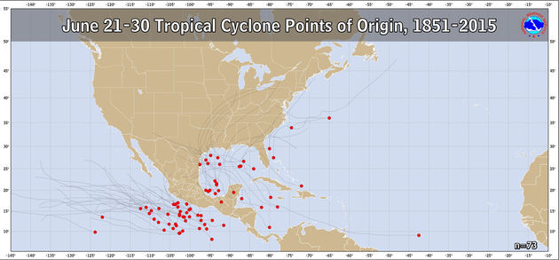
Again, this kind of track fits neatly into July climo
I guess tomorrow is July but it’s not often you have a storm forming this Far East in June threatening a Florida landfall.
There is no threat of a Florida landfall outside of some mid range models. And when that time comes, It's full blown July.


