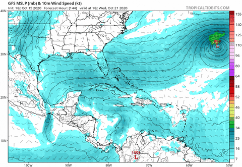
Frank2 wrote:The 18z GFS trending further east due to the very active west-east pattern - we shall see, but it's looking better. P.S. I'd stay away from those crazy experimental models that only give people indigestion. I'm sure the NHC puts little stock in any of those. The GFS has done reasonably well this season, and is even better with mid-latitude systems that come into play at this time of the year.
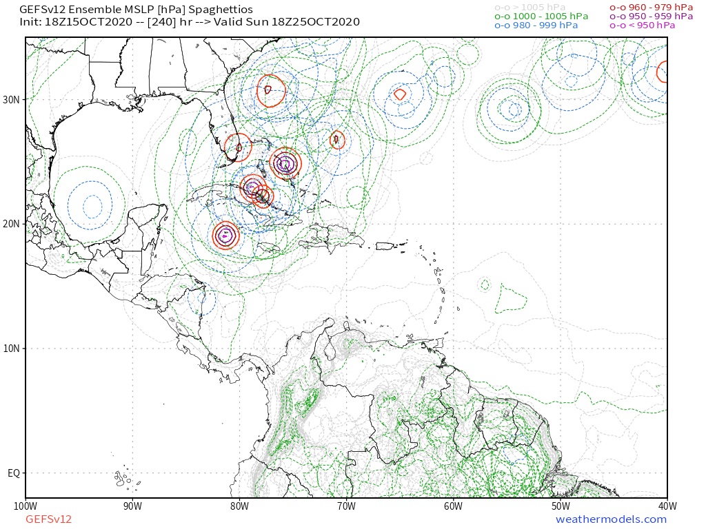
The GFS has not trended east this run! Don’t know which run you’re looking at but it has definitely trended weaker, AGAIN.
Wonder if it has something to do with that random major hurricane it spins up in the Subtropical Atlantic?