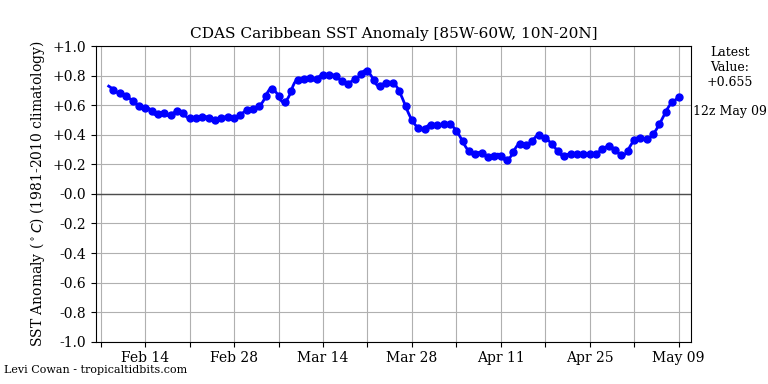
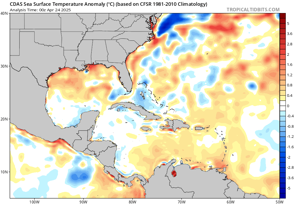
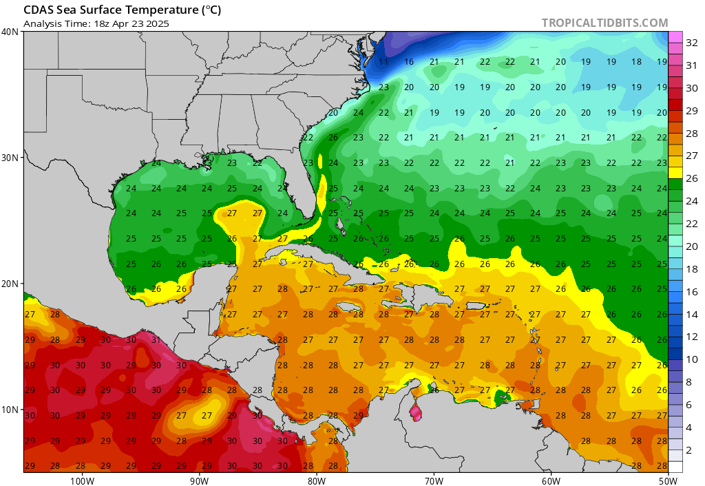
Weather Dude wrote:aspen wrote:We definitely need to keep a very close eye on the Caribbean come October or very late September at the earliest. Things could go crazy once the suppressive CCKW moves out. SSTs/OHC are ridiculously high in the Caribbean, as indicated by the MPI map. The entire region could support a sub-900 mbar Cat 5 at the most.
http://wxmaps.org/pix/atlpot.png
I also went back through most of the active seasons, and the majority of above-average to hyperactive Atlantic hurricane seasons had at least one major between September 20th and November 30th: 1893, 1933, 1950, 1954, 1961, 1995, 1996, 1998, 2001, 2003, 2005, 2008, 2011, 2012, 2016, 2017, and 2018. Some below-average/normal years like 2002 and 2015 also had one too. Out of the top 10 ACE producing seasons, only 2004 had no major hurricane form in that time frame, and out of the seasons I listed here, most had a major form in the Caribbean or Gulf (1893, 1933, 1954, 1961, 1995, 1996, 1998,1999, 2000, 2001, 2002, 2008, 2011, 2012, 2016, 2018). A few seasons also had very late season Cape Verde or open Atlantic majors like 1893's Hurricane Nine, Jig '50, Frances '61, Isidore '96, Issac '00, Kate '03, Joaquin '15, Nicole '16, and Ophelia '17. With 2020's ease at forming storms, a favorable Caribbean, and the potential for an active October, at least one major in that region and time frame is highly likely just looking at the frequency of such storms. I won't rule out a major off of the SEUS coast because of that untapped pocket of 29-31C SSTs northeast of the Bahamas.
To add to the first part of your post, here is the current OHC for 2020:
https://i.imgur.com/lKfYkYr.gif
And here is the OHC for this date in 2005, about a month before Wilma:
https://i.imgur.com/fOPXr1s.gif
I know Wilma didn't occur for another month but we are actually very similar to 2005 right now in the Western Caribbean The dark red on the 2005 map represents OHC values at about 150 kJ cm^-2 compared to 2020's map, where the darkest red is about 175 kJ cm^-2. So although at first glance it appears that 2005 had much more OHC than 2020, they are actually relatively similar. I know a few of the models are hinting at something trying to develop over there the first week of October. If something does indeed get going over there and has good enough conditions to fully be able to take advantage of that OHC and MPI, it could certainly explode into a Wilma-like storm. Obviously it would have to have absolutely perfect conditions, but it is something to think about.
EDIT: Here is the current OHC map with the same scale as the 2005 map as a direct comparison:
https://i.imgur.com/KkCH7kO.gif
To put an exclamation mark on the above, it's important to keep in mind a factor potentially more foreboding then the OHC itself. As you inferred, "if" having absolute perfect conditions the result of very warm (and deep) SST's further enhances the chance of a major 'cane to develop. We've seen many years where in spite of warm SST's and low surface pressures, upper level conditions would decapitate anything crossing 20N. As La Nina conditions slowly progress, upper level conditions over the Caribbean are less apt to be impacted by unfavorable westerly upper level shear. One or two majors may easily develop in the days or weeks to come. More worrisome to me then whether a storm might develop & peak at Cat 5, is simply the increased risk of ANY W. Caribbean hurricane that ends up tracking north.
Why? Because this year, the Enterprise deflector shields might really be down and there may not be a darn thing that Scotty can do to raise 'em #photontorpedo


 Finally we’ll get the lull that I think everyone here and at the NHC have been craving for so long (Atlantic wise for them...Lowell in the EPac trying to stay after hours


