#118 Postby Shell Mound » Sun Jul 26, 2020 6:20 am
At this point, I am rather suspicious of the southward, weaker shift in the 00Z ECMWF-/EPS-based guidance. Both the ECMWF and its ensembles have, for the most part, been too conservative with the pace of development in the Atlantic this season, while overestimating the tempo of genesis and intensification in the C/EPAC. Like the G(E)FS, the EC/EPS performed poorly with both Gonzalo and Hanna, to not mention Douglas. In terms of intensity, the UKMET and its ensembles seem to have a better handle on 92L than either the G(E)FS or the EC/EPS. Therefore, I would expect a stronger system in the short term.
Furthermore, the past six runs of the EPS mean have been trending toward a stronger +NAO by day five, along with a slower, less progressive NWHEM pattern. If this continues, it would likely portend stronger ridging over or near the Southeastern U.S., along with a northward shift in the trough over the Northeastern CONUS, and instead favour “ridge bridging” over a cutoff low retrograding near the southern Plains. This kind of pattern, if current trends were to be sustained, would favour a track over or near the Leeward Islands/PR and then a significant threat to the southern Bahamas and South/Central Florida.
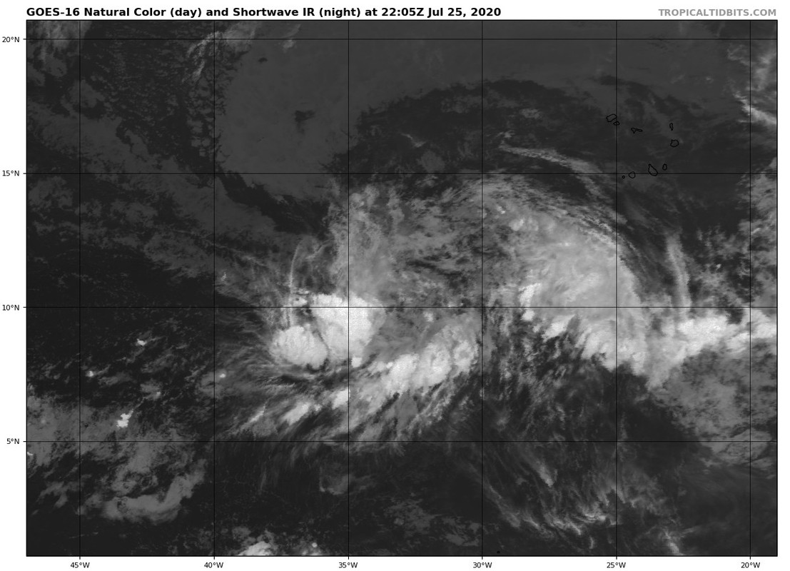
Therefore, at this point time, significant land interaction with Hispaniola is far from a given. 92L may track closer to PR instead of the DR.
I would not be surprised to see westward shifts beyond day five over the next several days, especially as 92L gradually organises and develops a LLC.
Ironically, just like Irma (2017), 92L/prospective “Isaias” will be interacting with a retreating TUTT during the next three to five days.
0 likes
CVW / MiamiensisWx / Shell MoundThe posts in this forum are NOT official forecasts and should not be used as such. They are just the opinion of the poster and may or may not be backed by sound meteorological data. They are NOT endorsed by any professional institution or
STORM2K. For official information, please refer to products from the
NHC and
NWS.


