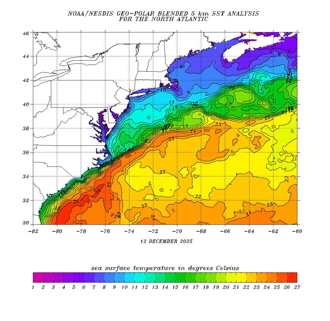
aspen wrote:The GFS, Euro, and CMC don’t move 98L off the coast until Thursday. The ICON, however, gets it over water around midday Wednesday and keeps it over or near the Gulf Stream for 36-48 hours. It’ll probably get over the GS no matter what, but the ICON gets it there quicker and as a better system. However, the CoC would have to reform closer to the convection for that to happen, probably.
HRRR has it moving off the coast late tonight/early am. Not sure if it will get it right, but it's done well so far.