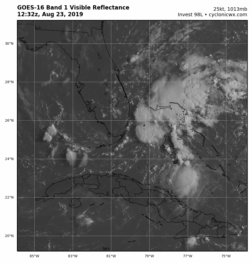
Key thing to notice.... the outflow from the convection with 98L on the side is being pulled to the nw, fanning out...this little feature has actually caused the shear to become more divergent which explains the sudden increase in convection.
it has also decreased the relative shear in this small area. the future evolution of this feature will be interesting. if it back to the west then a small outflow channel would set up and 98L could get a big boost.
you will notice the convection that has developed just near the Keys is not being sheared..