floridasun78 wrote:not sure my eye playing game but look like take more circle shape on afternoon sat pic
Two things about looking at visible imagery, especially a time lapse of a fast-moving system such as this...
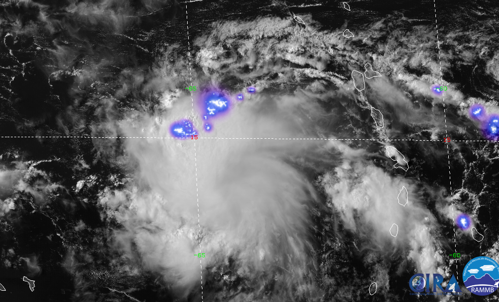
A. The "circular shape" you're seeing is in the mid and high level debris clouds, formed by anticyclonic flow aloft.
B.
This is a really important one that I've reiterated on here over and over again. When you look at a time lapse, your eyes are following along with the wave. What this actually does is to create a visual storm relative rotation that is either exaggerated or non-existent at the surface. To get a better ground-relative sense of low cloud motion, you need to: (1) Zoom well in on the system, (2) Fix your eyes on a single point and focus on the motion of cloud elements relative to that point, and finally (3) Focus
only on the low cloud elements - not any debris clouds. Look at the motion of the open-cell cumulus (the smaller white 'dots' on the imagery) as well as thunderstorm outflow boundaries. Both of these features exist at around 1-1.5KM (3-5KFT) or so.
Fast moving systems are no doubt tricky to diagnose whether or not they are closed at the surface or low cloud level. While scatterometer (ASCAT) data does have its limitations, in absence of surface observational data over open ocean areas, it gives you a much better indication of what surface/low level streamlines look like than does human visual estimation.