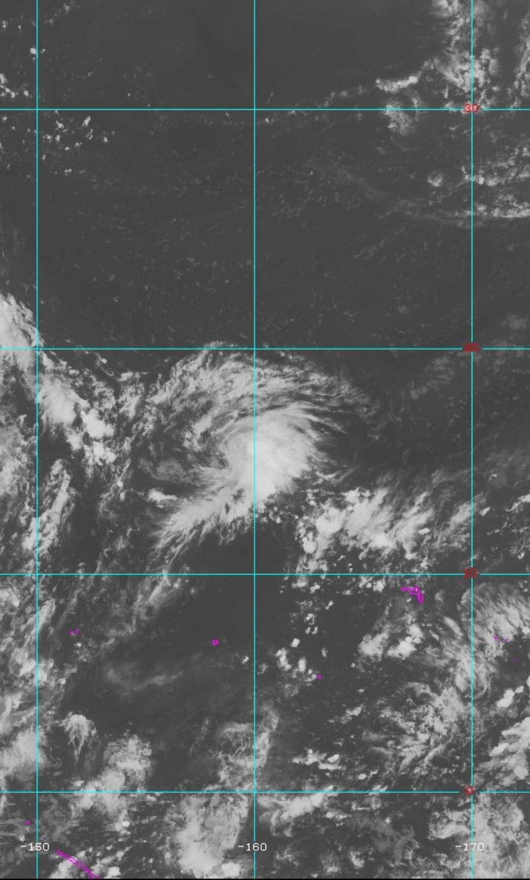
Twisted-core wrote:Hmm, Arrreuro6208
2018 WPAC Season
Moderator: S2k Moderators
Forum rules
The posts in this forum are NOT official forecasts and should not be used as such. They are just the opinion of the poster and may or may not be backed by sound meteorological data. They are NOT endorsed by any professional institution or STORM2K. For official information, please refer to products from the National Hurricane Center and National Weather Service.
- doomhaMwx
- Category 5

- Posts: 2495
- Age: 27
- Joined: Tue Apr 18, 2017 4:01 am
- Location: Baguio/Benguet, Philippines
- Contact:
Re: 2018 WPAC Season
1900hurricane wrote:Random question, but in the (probably unlikely) event that JTWC has to suspend operations for a time due to Hurricane Lane, who would be the backup?
Hmmm, perhaps the US' Norfolk Fleet Weather Center? They have been providing TC warning products for the Atlantic basin similar to that of JTWC.
0 likes
- mrbagyo
- Category 5

- Posts: 3998
- Age: 33
- Joined: Thu Apr 12, 2012 9:18 am
- Location: 14.13N 120.98E
- Contact:
Re: 2018 WPAC Season
0 likes
The posts in this forum are NOT official forecast and should not be used as such. They are just the opinion of the poster and may or may not be backed by sound meteorological data. They are NOT endorsed by any professional institution or storm2k.org. For official information, please refer to RSMC, NHC and NWS products.
-
euro6208
-
euro6208
Re: 2018 WPAC Season
Models especially EURO and GFS really robust on more activity in the first 2 weeks of September.
From the Malay Peninsula to the International Date Line.
From the Malay Peninsula to the International Date Line.
0 likes
-
euro6208
Re: 2018 WPAC Season
https://twitter.com/RyanMaue/status/1034809945961754626
Looking more ninoish if those tracks east of Guam holds true...
Looking more ninoish if those tracks east of Guam holds true...
1 likes
-
euro6208
- 1900hurricane
- Category 5

- Posts: 6063
- Age: 34
- Joined: Fri Feb 06, 2015 12:04 pm
- Location: Houston, TX
- Contact:
Re: 2018 WPAC Season
I'd probably start watching back towards the Nino box area (south of 20ºN, east of 160ºE) heading into the second week of September.
0 likes
Contract Meteorologist. TAMU & MSST. Fiercely authentic, one of a kind. We are all given free will, so choose a life meant to be lived. We are the Masters of our own Stories.
Opinions expressed are mine alone.
Follow me on Twitter at @1900hurricane : Read blogs at https://1900hurricane.wordpress.com/
Opinions expressed are mine alone.
Follow me on Twitter at @1900hurricane : Read blogs at https://1900hurricane.wordpress.com/
- mrbagyo
- Category 5

- Posts: 3998
- Age: 33
- Joined: Thu Apr 12, 2012 9:18 am
- Location: 14.13N 120.98E
- Contact:
Re: 2018 WPAC Season

0 likes
The posts in this forum are NOT official forecast and should not be used as such. They are just the opinion of the poster and may or may not be backed by sound meteorological data. They are NOT endorsed by any professional institution or storm2k.org. For official information, please refer to RSMC, NHC and NWS products.
- doomhaMwx
- Category 5

- Posts: 2495
- Age: 27
- Joined: Tue Apr 18, 2017 4:01 am
- Location: Baguio/Benguet, Philippines
- Contact:
Re: 2018 WPAC Season
The latest(00Z) GFS and ECMWF are picking up on a new system developing west of the Marianas, along the eastern terminus of the Monsoon Trough, 3-4 days from now.
Since the steering setup with Jebi now would be mostly unchanged by then, anything that develops will most probably head to Japan again like the models are indicating.


Since the steering setup with Jebi now would be mostly unchanged by then, anything that develops will most probably head to Japan again like the models are indicating.


0 likes
-
euro6208
Re: 2018 WPAC Season
EURO and GFS also picking up on another SCS system.
Last edited by euro6208 on Sat Sep 01, 2018 6:45 am, edited 1 time in total.
0 likes
-
euro6208
Re: 2018 WPAC Season
Kinda busy the next few days but EURO and GFS continues to keeps the area quite busy the next 2-3 weeks.
0 likes
Who is online
Users browsing this forum: AnnularCane, bird and 107 guests


