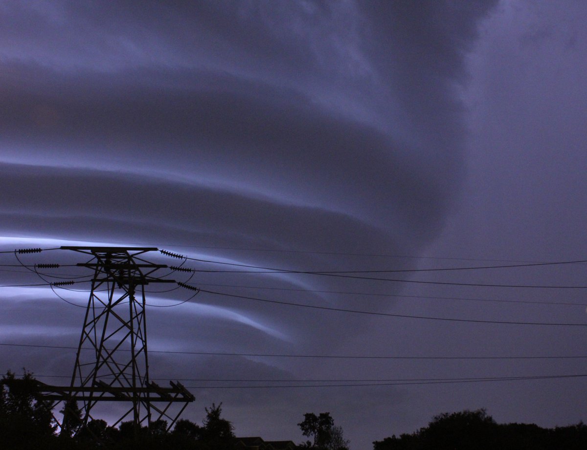
Models have really struggled with this complex of storms over night and there are some low end chances they survive into N. Texas later today.

Mesoscale Discussion 0661
NWS Storm Prediction Center Norman OK
0842 AM CDT Thu Jun 07 2018
Areas affected...Portions of Oklahoma and north Texas
Concerning...Severe potential...Watch unlikely
Valid 071342Z - 071545Z
Probability of Watch Issuance...20 percent
SUMMARY...A cluster of strong to briefly severe storms is expected
to progress south/southeast towards the Red River through this
afternoon. Isolated gusty, damaging winds and possibly a marginally
severe hail report or two may occur. Trends will be monitored, but
watch issuance is not currently anticipated.
DISCUSSION...Current radar mosaic data illustrate a cluster of
thunderstorms over central Oklahoma this morning, and the 12Z OUN
sounding suggests a modest 850mb low-level jet (LLJ) and related
warm advection are sustaining this complex. Through the morning
hours, weak mean convective layer flow and the south/southwesterly
LLJ should encourage continued south-southeast movement of the
complex. KTLX Z/ZDR data confirm that new updrafts are generally
being focused along the southern portion of the complex.
The OUN observed sounding sampled steep mid-level lapse rates, which
will enable robust updraft acceleration. However, weak mid-level
flow will likely limit overall organization. Subsequently, the hail
threat should be isolated/sparse at most, especially considering the
amount of melting likely occurring below 10K ft. The damaging wind
threat may be slightly greater, owing to sustained southward
propagation and the 700-500mb EML noted in the sounding.
Nonetheless, the severe threat should be limited enough to preclude
watch issuance as the cluster tracks towards the Red River through
mid-day.
..Picca/Weiss.. 06/07/2018
Winter time post are almost exclusively focused on the DFW area.


