

Moderator: S2k Moderators


A surface trough embedded within moderate to fresh trade winds north
of a near-equatorial trough is going to generate period showers and
a few thunderstorms near Yap today, Koror tonight and Saturday. As
the near-equatorial trough begins to lift northward on Sunday,
converging surface winds near the trough axis will increase shower
activity near both locations. Things should become wetter early next
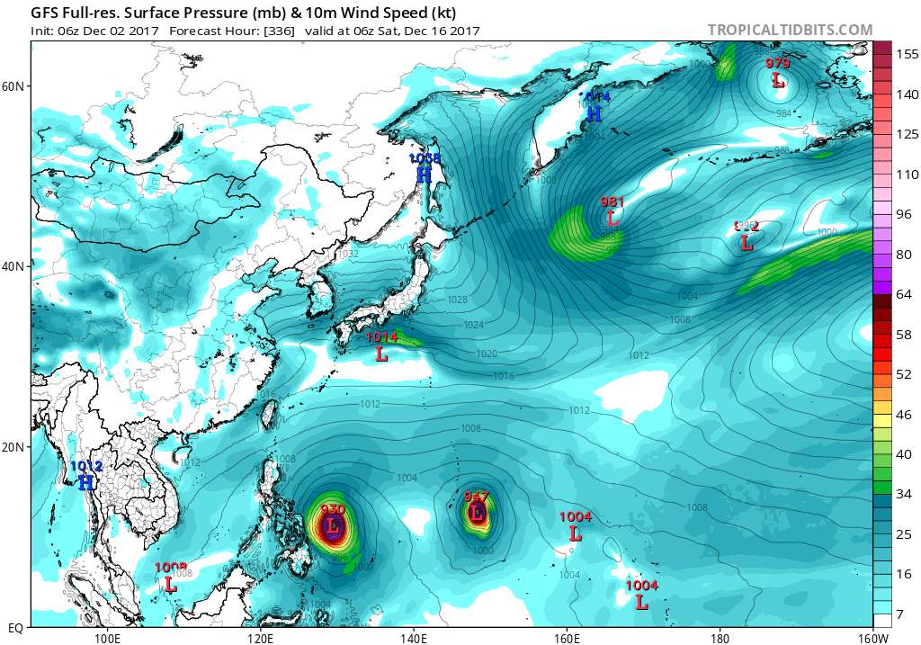
week as the twin circulations currently southwest of Chuuk and
southwest of Pohnpei approach from the southeast. There is a chance
these circulations will merge into one and become better organized
when arriving at far western Micronesia next week. If so, gusty winds
and choppy seas are possible.


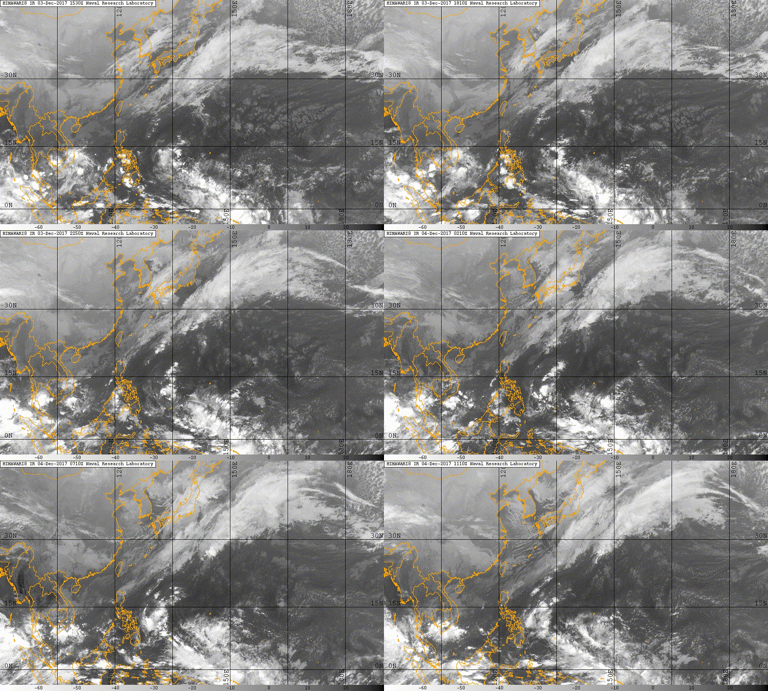
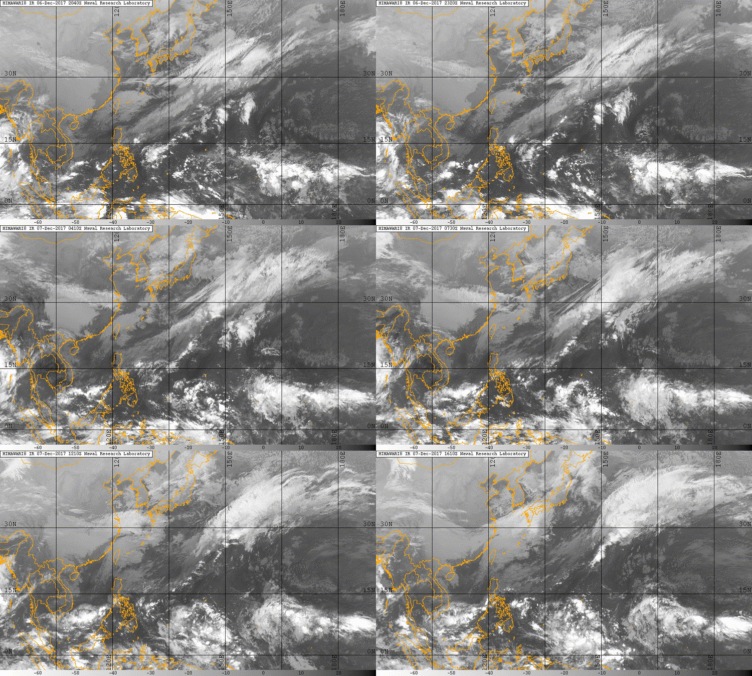
xtyphooncyclonex wrote:I have my doubts about 94W, it's simply scrambled eggs! Interesting to see GFS and CMC insist on a strong typhoon in the mid-range to long-range with the GFS shifting, showing a pretty noticeable trend. Let's see if this verifies. My gut tells me something big could happen this month or early next year.


Users browsing this forum: JoshwaDone and 113 guests