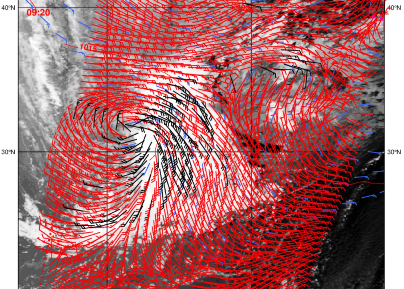
https://twitter.com/TropicalTidbits/status/882319656526249984
ATL: FOUR - Remnants - Discussion
Moderator: S2k Moderators
-
tarheelprogrammer

- S2K Supporter

- Posts: 1793
- Joined: Mon Mar 28, 2016 9:25 pm
- Location: Raleigh, NC area (Garner, NC)
Re: ATL: INVEST 94L - Discussion
0 likes
My posts are not official forecasts. They are just my opinion and may or may not be backed by sound meteorological data. They are NOT endorsed by any professional institution or storm2k.org. For official information, please refer to the NHC and NWS products.

Re: ATL: INVEST 94L - Discussion
I also agree that this will not develop. My arthritis pain has almost gone away today, so the storm pressure must be weakening.
2 likes
-
wxman57

- Moderator-Pro Met

- Posts: 23166
- Age: 68
- Joined: Sat Jun 21, 2003 8:06 pm
- Location: Houston, TX (southwest)
Re: ATL: INVEST 94L - Discussion
It looks like it's embedded in a big dust cloud. The dust is easy to see on the visible shot below.
Dust + disturbance = not good for development (today)
Dust + disturbance = not good for development (today)
6 likes
-
Digital-TC-Chaser
Re: ATL: INVEST 94L - Discussion
Some types of systems are not handled well by the dvorak technique. These include monsoonal systems which are typically stronger than the dvorak estimates indicate,
https://earth.nullschool.net/#current/w ... 963,18.599
Really it does not look that bad.
https://earth.nullschool.net/#current/w ... 963,18.599
Really it does not look that bad.
0 likes
-
MGC

- S2K Supporter
- Posts: 5939
- Joined: Sun Mar 23, 2003 9:05 pm
- Location: Pass Christian MS, or what is left.
Re: ATL: INVEST 94L - Discussion
Pretty decent circulation but the dust is eating the convection. Unless the convection can become better established near the circulation this will take some time to get named......MGC
0 likes

Re: ATL: INVEST 94L - Discussion
development chances continue to plummet. A good thing as I have plans next Tuesday that I already had to postpone once, and I do not want to have to postpone a second time
1 likes
-
Kingarabian

- S2K Supporter
- Posts: 16321
- Joined: Sat Aug 08, 2009 3:06 am
- Location: Honolulu, Hawaii
Re: ATL: INVEST 94L - Discussion
I forgot to mention 2 days ago that the NASA high resolution model had showed a large amount of dry air being around the system and it continues to do so.
1 likes
RIP Kobe Bryant
-
Digital-TC-Chaser
Re: ATL: INVEST 94L - Discussion
Dry air is usually only a problem when its in combination with shear.

There is some decent moisture about,and also some dry air to work out.


There is some decent moisture about,and also some dry air to work out.
1 likes
-
wxman57
- Moderator-Pro Met
- Posts: 23166
- Age: 68
- Joined: Sat Jun 21, 2003 8:06 pm
- Location: Houston, TX (southwest)
Re: ATL: INVEST 94L - Models
Big shift north with the 12Z EC ensembles. Every member takes it north of the Caribbean now. It was looking so good yesterday, but the environment is clearly not that favorable.
3 likes
-
Aric Dunn
- Category 5

- Posts: 21238
- Age: 43
- Joined: Sun Sep 19, 2004 9:58 pm
- Location: Ready for the Chase.
- Contact:
Re: ATL: INVEST 94L - Discussion
Still moving right along. Once that northern lobe/vort and the larger circ to the south reconcile their differences lol.. then game on is quite likely. Still doing exactly what the models were showing the past couple days.
2 likes
Note: If I make a post that is brief. Please refer back to previous posts for the analysis or reasoning. I do not re-write/qoute what my initial post said each time.
If there is nothing before... then just ask
Space & Atmospheric Physicist, Embry-Riddle Aeronautical University,
I believe the sky is falling...
If there is nothing before... then just ask
Space & Atmospheric Physicist, Embry-Riddle Aeronautical University,
I believe the sky is falling...
-
cycloneye

- Admin

- Posts: 148836
- Age: 69
- Joined: Thu Oct 10, 2002 10:54 am
- Location: San Juan, Puerto Rico
Re: ATL: INVEST 94L - Discussion
Still has a chance.
Tropical Weather Outlook
NWS National Hurricane Center Miami FL
800 PM EDT Tue Jul 4 2017
For the North Atlantic...Caribbean Sea and the Gulf of Mexico:
Satellite images indicate that the cloud pattern associated with the
broad area of low pressure centered about 800 miles west-southwest
of the Cabo Verde Islands has changed little in organization since
yesterday. Environmental conditions are still favorable for a
tropical cyclone to form within the next day or two while the low
moves westward or west-northwestward at 10 to 15 mph across the
tropical Atlantic. After that time, the system is expected to
encounter a dryer and more stable air mass, which should be less
favorable for development.
* Formation chance through 48 hours...high...70 percent.
* Formation chance through 5 days...high...80 percent.
$$
Forecaster Beven
0 likes
Visit the Caribbean-Central America Weather Thread where you can find at first post web cams,radars
and observations from Caribbean basin members Click Here
and observations from Caribbean basin members Click Here

Re: ATL: INVEST 94L - Discussion
Looks like the convection is building east a little over the dry part of the circulation and the northern vort might be weakening. Not sure where I would put an actual center maybe -35 on the 10 almost under convection?
1 likes

Re: ATL: INVEST 94L - Discussion
cycloneye wrote:Still has a chance.Tropical Weather Outlook
NWS National Hurricane Center Miami FL
800 PM EDT Tue Jul 4 2017
For the North Atlantic...Caribbean Sea and the Gulf of Mexico:
Satellite images indicate that the cloud pattern associated with the
broad area of low pressure centered about 800 miles west-southwest
of the Cabo Verde Islands has changed little in organization since
yesterday. Environmental conditions are still favorable for a
tropical cyclone to form within the next day or two while the low
moves westward or west-northwestward at 10 to 15 mph across the
tropical Atlantic. After that time, the system is expected to
encounter a dryer and more stable air mass, which should be less
favorable for development.
* Formation chance through 48 hours...high...70 percent.
* Formation chance through 5 days...high...80 percent.
$$
Forecaster Beven
With all the "it's weakening" talk in this thread, I'm surprised formation chances weren't lowered.
2 likes

Re: ATL: INVEST 94L - Discussion
abajan wrote:cycloneye wrote:Still has a chance.Tropical Weather Outlook
NWS National Hurricane Center Miami FL
800 PM EDT Tue Jul 4 2017
For the North Atlantic...Caribbean Sea and the Gulf of Mexico:
Satellite images indicate that the cloud pattern associated with the
broad area of low pressure centered about 800 miles west-southwest
of the Cabo Verde Islands has changed little in organization since
yesterday. Environmental conditions are still favorable for a
tropical cyclone to form within the next day or two while the low
moves westward or west-northwestward at 10 to 15 mph across the
tropical Atlantic. After that time, the system is expected to
encounter a dryer and more stable air mass, which should be less
favorable for development.
* Formation chance through 48 hours...high...70 percent.
* Formation chance through 5 days...high...80 percent.
$$
Forecaster Beven
With all the "it's weakening" talk in this thread, I'm surprised formation chances weren't lowered.
NHC usually waits a few model cycles--remember the previous wave wasn't even mentioned until after the models dropped it. They'll probably lower it to 60/60 or 70/70 by 2am if the next batch of models don't show development.
0 likes
The above post is not official and should not be used as such. It is the opinion of the poster and may or may not be backed by sound meteorological data. It is not endorsed by any professional institution or storm2k.org. For official information, please refer to the NHC and NWS products.
-
hurricanehunter69
- Category 1

- Posts: 344
- Joined: Sun May 16, 2010 5:21 pm
- Location: New Orleans
Re: ATL: INVEST 94L - Discussion
While observing Mimic-TPW this evening http://tropic.ssec.wisc.edu/real-time/m ... /main.html it appears to me that development has been arrested today due to a wave merging with the system from the east. It's presentation on TPW is looking very healthy to me this evening and it ( could ) be all systems go for it's classification of Don sometime tomorrow.
1 likes

Re: ATL: INVEST 94L - Discussion
Aric Dunn wrote:Still moving right along. Once that northern lobe/vort and the larger circ to the south reconcile their differences lol.. then game on is quite likely. Still doing exactly what the models were showing the past couple days.
Agree. This was forecasted well in advance. I thought today would be a transition day. Tomorrow will be different. I am curious to see if the NW jump in motion predicted to happen soon by the models is a true NW motion or a relocation to the northern lobe winning out.
0 likes
The following post is NOT an official forecast and should not be used as such. It is just the opinion of the poster and may or may not be backed by sound meteorological data. It is NOT endorsed by any professional institution including storm2k.org For Official Information please refer to the NHC and NWS products.
-
Aric Dunn
- Category 5
- Posts: 21238
- Age: 43
- Joined: Sun Sep 19, 2004 9:58 pm
- Location: Ready for the Chase.
- Contact:
Re: ATL: INVEST 94L - Discussion
blp wrote:Aric Dunn wrote:Still moving right along. Once that northern lobe/vort and the larger circ to the south reconcile their differences lol.. then game on is quite likely. Still doing exactly what the models were showing the past couple days.
Agree. This was forecasted well in advance. I thought today would be a transition day. Tomorrow will be different. I am curious to see if the NW jump in motion predicted to happen soon by the models is a true NW motion or a relocation to the northern lobe winning out.
A bunch of Don(nie)[deby] downers in here
3 likes
Note: If I make a post that is brief. Please refer back to previous posts for the analysis or reasoning. I do not re-write/qoute what my initial post said each time.
If there is nothing before... then just ask
Space & Atmospheric Physicist, Embry-Riddle Aeronautical University,
I believe the sky is falling...
If there is nothing before... then just ask
Space & Atmospheric Physicist, Embry-Riddle Aeronautical University,
I believe the sky is falling...
Re: ATL: INVEST 94L - Discussion
We should get an ASCAT pass in the next few hours as long as it doesn't miss, so we should get an idea if the two lows here have separated at all--at the moment it appears they're still interacting given the convective flareup of the northeastern one.
0 likes
The above post is not official and should not be used as such. It is the opinion of the poster and may or may not be backed by sound meteorological data. It is not endorsed by any professional institution or storm2k.org. For official information, please refer to the NHC and NWS products.
-
Aric Dunn
- Category 5
- Posts: 21238
- Age: 43
- Joined: Sun Sep 19, 2004 9:58 pm
- Location: Ready for the Chase.
- Contact:
Re: ATL: INVEST 94L - Discussion
Hammy wrote:We should get an ASCAT pass in the next few hours as long as it doesn't miss, so we should get an idea if the two lows here have separated at all--at the moment it appears they're still interacting given the convective flareup of the northeastern one.
They are not going to seperate. They both developed seperately but are locked together and one must one must take over... and right now the larger circ is to the south side but is made of at least two vorts. The northern vort had some good deep convection earlier but was under higher shear. Eventually they will merge regardless of a classification.
0 likes
Note: If I make a post that is brief. Please refer back to previous posts for the analysis or reasoning. I do not re-write/qoute what my initial post said each time.
If there is nothing before... then just ask
Space & Atmospheric Physicist, Embry-Riddle Aeronautical University,
I believe the sky is falling...
If there is nothing before... then just ask
Space & Atmospheric Physicist, Embry-Riddle Aeronautical University,
I believe the sky is falling...
-
alienstorm

- Category 1
- Posts: 496
- Joined: Tue Jul 31, 2007 1:29 pm
- Location: Miami Fla western suburb
Re: ATL: INVEST 94L - Discussion
Earlier today on the hi-res visible you could see a llc run out from the northern lobe, it has now moved to the one to the SE around 10.2n 35.2w, here is where I believe it will get started.
0 likes
Personal Forecast Disclaimer:The posts in this forum are NOT official forecast and should not be used as such. They are just the opinion of the poster and may or may not be backed by sound meteorological data. They are NOT endorsed by any professional institution or storm2k.org. For official information, please refer to the NHC and NWS products.
Who is online
Users browsing this forum: No registered users and 67 guests