South Texas Storms wrote:bubba hotep wrote:While the main focus tomorrow will be to our north, the models are depicting some pretty impressive parameters across N. Texas tomorrow. It wouldn't be surprising to see SPC upgrade portions of the area tomorrow.
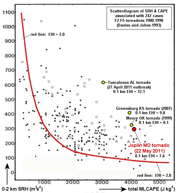
The Mike Ventrice index looks pretty impressive for tomorrow:
https://twitter.com/MJVentrice/status/864885478276960259
Latest high resolution models are indicating scattered strong to severe storms developing across central and north Texas tomorrow afternoon. Could be an active severe weather day tomorrow.
Ingesting that SPC actually went in the opposite direction and downgraded parts of N. Texas. However, they did slightly expand the mod into parts of NW Texad. The Euro, GFS, RGEM, TX Tech WRF, all show what appears to be convection across N. Texas tomorrow evening. The NAMs however don't show much at all, maybe SPC is putting a lot of stock into them. Also, the NCAR ensembles also highlight N and C Texax for tomorrow.
ETA: 18z 3k NAM has basically nothing south of the Red River tomorrow.


