Texas Winter 2016-2017
Moderator: S2k Moderators
Forum rules
 The posts in this forum are NOT official forecast and should not be used as such. They are just the opinion of the poster and may or may not be backed by sound meteorological data. They are NOT endorsed by any professional institution or STORM2K.
 The posts in this forum are NOT official forecast and should not be used as such. They are just the opinion of the poster and may or may not be backed by sound meteorological data. They are NOT endorsed by any professional institution or STORM2K.
Re: Texas Winter 2016-2017
Good winter time rains the next few days. 1-3" seems fairly widespread across Texas with areas under heavier lift 2-4". Rain Miser (Jdawg) doing his rain dance
2 likes
The above post and any post by Ntxw is NOT an official forecast and should not be used as such. It is just the opinion of the poster and may or may not be backed by sound meteorological data. It is NOT endorsed by any professional institution including Storm2k. For official information, please refer to NWS products.
- South Texas Storms
- Professional-Met

- Posts: 4261
- Joined: Thu Jun 24, 2010 12:28 am
- Location: Houston, TX
Re: Texas Winter 2016-2017
Ntxw wrote:Good winter time rains the next few days. 1-3" seems fairly widespread across Texas with areas under heavier lift 2-4". Rain Miser (Jdawg) doing his rain dance
Yep, looking forward to Tuesday's storm system as well. Not bad for February. Slight severe risk with that one too across the southern half of the state.
0 likes
-
WeatherGuesser
- Category 5

- Posts: 2672
- Joined: Tue Jun 29, 2010 6:46 am
- wxman57
- Moderator-Pro Met

- Posts: 23175
- Age: 68
- Joined: Sat Jun 21, 2003 8:06 pm
- Location: Houston, TX (southwest)
Re: Texas Winter 2016-2017
Portastorm wrote:wxman57 wrote:I think it's time to "call it", as far as winter for TX is concerned. Next week's front may drop temps a little below normal for a couple of days, but it's back to the 80s next weekend. Operational models & ensembles out to 15 days indicate temps in Canada remaining above-normal. There just isn't any cold air to come down here from Canada through the end of February. Yes, it could get cold in March, but I wouldn't bet on the pattern of the last 6 weeks changing in March.
You could have called it after the early January cold spell, because there has been no "winter" to speak of since then.
For all of you folks who are enjoying this lack of winter ... no griping from you come this spring and summer when the heat and humidity soar and the heat indices are triple digits on a daily basis. Can't have one without the other.
I sort of did, back in the first week of January. Was reading some old posts from winter (Jan 6-8) and said that I could tolerate 3 days of winter, as long as it was going to be followed by 3 (or more) weeks or warmth (as per long range models). The only time the long-range models have been right all the time has been when they've forecast warmth. The only significant cold front they saw was that front in early January. Otherwise, the models have been terrible at predicting strong fronts that never materialized.
Had a great 40-mile bike ride today, up to The Heights to have lunch at Beck's Prime on 19th street. It was almost warm out there (85 degrees).
1 likes
Re: Texas Winter 2016-2017
Definitely have to watch the severe weather outbreak. Surface low cutting up to the midwest and strong jet from southern plains to Dixie spells potential upper end risk tornado days.
I was watching coverage of the Oklahoma fires today and the vegetation up there really does look dead and like in a drought. Which they are in, drastically different once you cross into Texas where shrubs and some cases green grass, other dormant but not dead. California's drought has been cut back and wiped out in the northern half of the state while the southern half is on path to being clear. What a great couple of years for the country in terms of cutting down severe drought.

Just a reminder of how close it is, but yet world's different than our close neighbor
I was watching coverage of the Oklahoma fires today and the vegetation up there really does look dead and like in a drought. Which they are in, drastically different once you cross into Texas where shrubs and some cases green grass, other dormant but not dead. California's drought has been cut back and wiped out in the northern half of the state while the southern half is on path to being clear. What a great couple of years for the country in terms of cutting down severe drought.

Just a reminder of how close it is, but yet world's different than our close neighbor
1 likes
The above post and any post by Ntxw is NOT an official forecast and should not be used as such. It is just the opinion of the poster and may or may not be backed by sound meteorological data. It is NOT endorsed by any professional institution including Storm2k. For official information, please refer to NWS products.
Re: Texas Winter 2016-2017
Back to winter, GFS and to an extent EPS is hinting at more -EPO? Perhaps when the MJO makes it way through the IO phases

CFSv2 builds a good dose of cold anomalies in Canada moving to the latter half of the month

CFSv2 builds a good dose of cold anomalies in Canada moving to the latter half of the month
0 likes
The above post and any post by Ntxw is NOT an official forecast and should not be used as such. It is just the opinion of the poster and may or may not be backed by sound meteorological data. It is NOT endorsed by any professional institution including Storm2k. For official information, please refer to NWS products.
Re: Texas Winter 2016-2017
Re: Bubba and Ntwx's last posts:

Surely wxman57 will relinquish control for one last gasp? Right?

Surely wxman57 will relinquish control for one last gasp? Right?
0 likes
The opinions expressed in this post are NOT forecasts. I am an amatuer enthusiast - NOT a professional meteorologist.
Re: Texas Winter 2016-2017
STX Expat wrote:Surely wxman57 will relinquish control for one last gasp? Right?
He must.
On a serious note, this is still the winter thread and we do have to keep at it until the end. I know the jokes and sarcasms about winter cancels but we don't do this to the other threads or derail them such as in fall or summer or spring as much as we do in the winter threads. If there is a threat for winter, discussion is welcome and all things weather in winter
1 likes
The above post and any post by Ntxw is NOT an official forecast and should not be used as such. It is just the opinion of the poster and may or may not be backed by sound meteorological data. It is NOT endorsed by any professional institution including Storm2k. For official information, please refer to NWS products.
- Texas Snowman
- Storm2k Moderator

- Posts: 6197
- Joined: Fri Jan 25, 2008 11:29 am
- Location: Denison, Texas
Re: Texas Winter 2016-2017
Don't look now but there are Winter Storm Watches up in the Texas Panhandle. Could be a few inches of snow and sleet out there around Amarillo.
0 likes
The above post and any post by Texas Snowman is NOT an official forecast and should not be used as such. It is just the opinion of the poster and may or may not be backed by sound meteorological data. It is NOT endorsed by any professional institution including storm2k.org. For official information, please refer to NWS products.
- Texas Snow
- S2K Supporter

- Posts: 817
- Joined: Mon Oct 19, 2015 12:06 pm
- Location: N. Dallas & Cedar Creek Lake
Re: Texas Winter 2016-2017
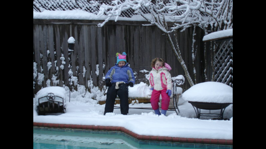
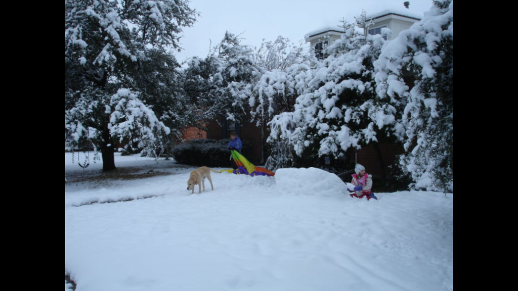
On this date, 2010, DFW...


5 likes
"Don't let wishcastin get in the way of your forecastin"


- bubba hotep
- S2K Supporter

- Posts: 6014
- Joined: Wed Dec 28, 2016 1:00 am
- Location: Collin County Texas
Re: Texas Winter 2016-2017
srainhoutx wrote:South Texas Storms wrote:That storm system for next weekend looks potent. Deep negative tilt trough tracking eastward across the state next Sunday. Could be a severe outbreak.
Very amplified MJO in Phase 8 and a stout CCKW tends to favor the potential for severe weather across portions of Texas. It's already on my radar scope, so to speak...
And AAM looks to be descending, large scale features are certainly raising some eyebrows. Also, Tuesday could be sneaky in SE Texas or S. Louisiana. The year is already off to a wild svr wx start and that looks to get even more cranked up in March.
1 likes
Winter time post are almost exclusively focused on the DFW area.
Re: Texas Winter 2016-2017
0z GFS definitely raises some eyebrows. I would watch closely the weather in the coming days for an outbreak. SPC may zone in as the frame comes closer, anyone from Texas to Louisiana on east needs to keep tabs imo
1 likes
The above post and any post by Ntxw is NOT an official forecast and should not be used as such. It is just the opinion of the poster and may or may not be backed by sound meteorological data. It is NOT endorsed by any professional institution including Storm2k. For official information, please refer to NWS products.
-
Brent
- S2K Supporter

- Posts: 38773
- Age: 37
- Joined: Sun May 16, 2004 10:30 pm
- Location: Tulsa Oklahoma
- Contact:
Re: Texas Winter 2016-2017
It looks like tornado season is about to escalate even more looking at the GFS...
I'm not even concerned about "winter" anymore.
I'm not even concerned about "winter" anymore.
1 likes
#neversummer
- Tireman4
- S2K Supporter

- Posts: 5904
- Age: 60
- Joined: Fri Jun 30, 2006 1:08 pm
- Location: Humble, Texas
- Contact:
Re: Texas Winter 2016-2017
This could be an interesting Tuesday. Srain alluded to it in his forecast...Jeff did too...
Monday morning briefing from Jeff:
Strong storm system will cross TX tonight and Tuesday
Another storm system will impact the region late this weekend
A strong upper level storm system currently over the SW US will move eastward and across TX on Tuesday. At the surface a weak frontal boundary has stalled along a line from near Beaumont to BUSH IAH to roughly Columbus with a slightly drier and cooler air mass north of this feature. South of this boundary conditions remain “summer like” with dewpoints in the mid to upper 60’s and temperatures in the upper 60’s and low 70’s. This weak boundary will begin to lift northward today in response to height falls spreading across TX ahead of the approaching upper level system.
Low level jet begins to ramp up this evening and expect 25-35kt jet in place helping to transport moisture northward by Tuesday morning. PWS rise into the 1.4-1.6 inch range by Tuesday morning as favorable jet stream dynamics come to bear across the region. Low level shear values really increase on Tuesday morning with good turning in the low and mid levels especially south of I-10 and mid/upper level winds become broadly divergent. While instability is generally lacking, have seen multiple times where low CAPE/high shear environments can produce severe weather along the Gulf coast.
Showers and thunderstorms will begin to develop in the broad ascent on Tuesday morning while a sharp cold front with strong lift will sweep eastward from C TX during the mid morning to mid afternoon hours. Strong linear forcing along the cold front will result in the formation of a line of thunderstorms. Timing of the frontal boundary around midday supports slightly better instability across the region, but still not great and this in the end may help keep the severe threat in check. SPC has upgraded areas roughly from eastern Fort Bend County east into a slight risk for severe storms with the primary threats being strong winds and isolated tornadoes. Tornado threat will be highest with any cells that form ahead of the main line in SW to NE moving supercells generally south of I-10 and east of SH 288.
High PW values for this time of year certainly support heavy rainfall, but the progressive nature of the system should help to mitigate any serious flooding concerns. Widespread rainfall amounts of 1-2 inches will be common with isolated totals of 3-5 inches possible. Those heavier totals will only materialize if convection can develop ahead of the main line of thunderstorms as the line along the front will be fairly progressive. High moisture levels support 1-2 inch per hour rainfall rates and this could lead to street flooding in urban areas. As we saw back on 1-18-17 it only takes a few hours to get into trouble with high hourly rainfall rates under training convection in these highly moist air masses.
Front and weather should rapidly clear the area by early evening on Tuesday, but wrap around low clouds will be possible into Wednesday and when combined with cold air advection will keep high temperatures in the 50’s and 60’s on Wednesday.
Active pattern will be maintained going forward as a series of CA then southern US storm systems move across the US. Next deep upper level trough set to affect TX this weekend with Sunday into Monday looking wet again along with some strong thunderstorm potential.
Over the next 7 days portions of SE TX could see 4-6 inches of rainfall.
0 likes
- wxman57
- Moderator-Pro Met

- Posts: 23175
- Age: 68
- Joined: Sat Jun 21, 2003 8:06 pm
- Location: Houston, TX (southwest)
Re: Texas Winter 2016-2017
Just did one of those Facebook deals where it analyzes you and tells you what state you belong in. It said I belong in Florida because I'm warm and loving, just like the Sunshine State! Hopefully, it's south Florida. North Florida gets too cold...
Have to fly to New Orleans tomorrow morning. Don't let any cold air in while I'm gone, or I'll bring 80s back to Texas this weekend. I have a feeling the weather may disrupt my return flight tomorrow evening. Heavy storms should be between Houston and New Orleans, though.
Have to fly to New Orleans tomorrow morning. Don't let any cold air in while I'm gone, or I'll bring 80s back to Texas this weekend. I have a feeling the weather may disrupt my return flight tomorrow evening. Heavy storms should be between Houston and New Orleans, though.
1 likes
Re: Texas Winter 2016-2017
SPC Day 2 Outlook has a slight severe threat for the Houston area extending east over towards Pensacola. Usually if it goes enhanced I expect something to happen.
0 likes
- TeamPlayersBlue
- Category 5

- Posts: 3531
- Joined: Tue Feb 02, 2010 1:44 am
- Location: Denver/Applewood, CO
Re: Texas Winter 2016-2017
Ugh, i hope this severe season isnt bad. Not looking good for us in the near future.
0 likes
Personal Forecast Disclaimer:
The posts in this forum are NOT official forecast and should not be used as such. They are just the opinion of the poster and may or may not be backed by sound meteorological data. They are NOT endorsed by any professional institution or storm2k.org. For official information, please refer to the NHC and NWS products.
The posts in this forum are NOT official forecast and should not be used as such. They are just the opinion of the poster and may or may not be backed by sound meteorological data. They are NOT endorsed by any professional institution or storm2k.org. For official information, please refer to the NHC and NWS products.
- wxman57
- Moderator-Pro Met

- Posts: 23175
- Age: 68
- Joined: Sat Jun 21, 2003 8:06 pm
- Location: Houston, TX (southwest)
Re: Texas Winter 2016-2017
ronyan wrote:SPC Day 2 Outlook has a slight severe threat for the Houston area extending east over towards Pensacola. Usually if it goes enhanced I expect something to happen.
Last week, the outlook for severe storm potential near New Orleans was "marginal" on the SPC outlook. Those were some quite significant tornadoes. Could be more severe storms with this system tomorrow afternoon/evening in SE TX/SW Louisiana.
1 likes
-
Yukon Cornelius
- S2K Supporter

- Posts: 1842
- Age: 42
- Joined: Thu Dec 20, 2012 9:23 pm
- Location: Dean, TX/Westcliffe, CO
Re: Texas Winter 2016-2017
It feels great outside. Overcast, north wind, temp of 48 and a windchill of 43.
0 likes
#neversummer
Re: Texas Winter 2016-2017
TeamPlayersBlue wrote:Ugh, i hope this severe season isnt bad. Not looking good for us in the near future.
Its looking potent. The fact that its been cool in the northwest US and warm in the southern US is a clash of two air masses in spring. Lines up well with big tornado seasons. We have already seen a high risk day this year! This weekend or early week could see a moderate or even high risk day.
1 likes
The above post and any post by Ntxw is NOT an official forecast and should not be used as such. It is just the opinion of the poster and may or may not be backed by sound meteorological data. It is NOT endorsed by any professional institution including Storm2k. For official information, please refer to NWS products.
Who is online
Users browsing this forum: No registered users and 237 guests


