ATL: HERMINE - Post-Tropical - Discussion

Moderator: S2k Moderators

Message
Author
User avatar
beoumont
Category 1
Category 1
Posts: 473
Joined: Sun Jul 10, 2011 4:13 pm
Location: East Central Florida
Contact:

Re: ATL: INVEST 99L - Discussion

#1121 Postby beoumont » Wed Aug 24, 2016 2:55 am

BeachBum1967 wrote:
AutoPenalti wrote:Umm, this is going to rapidly intensify, but at the same time it looks like it's still going due west, straight into PR.


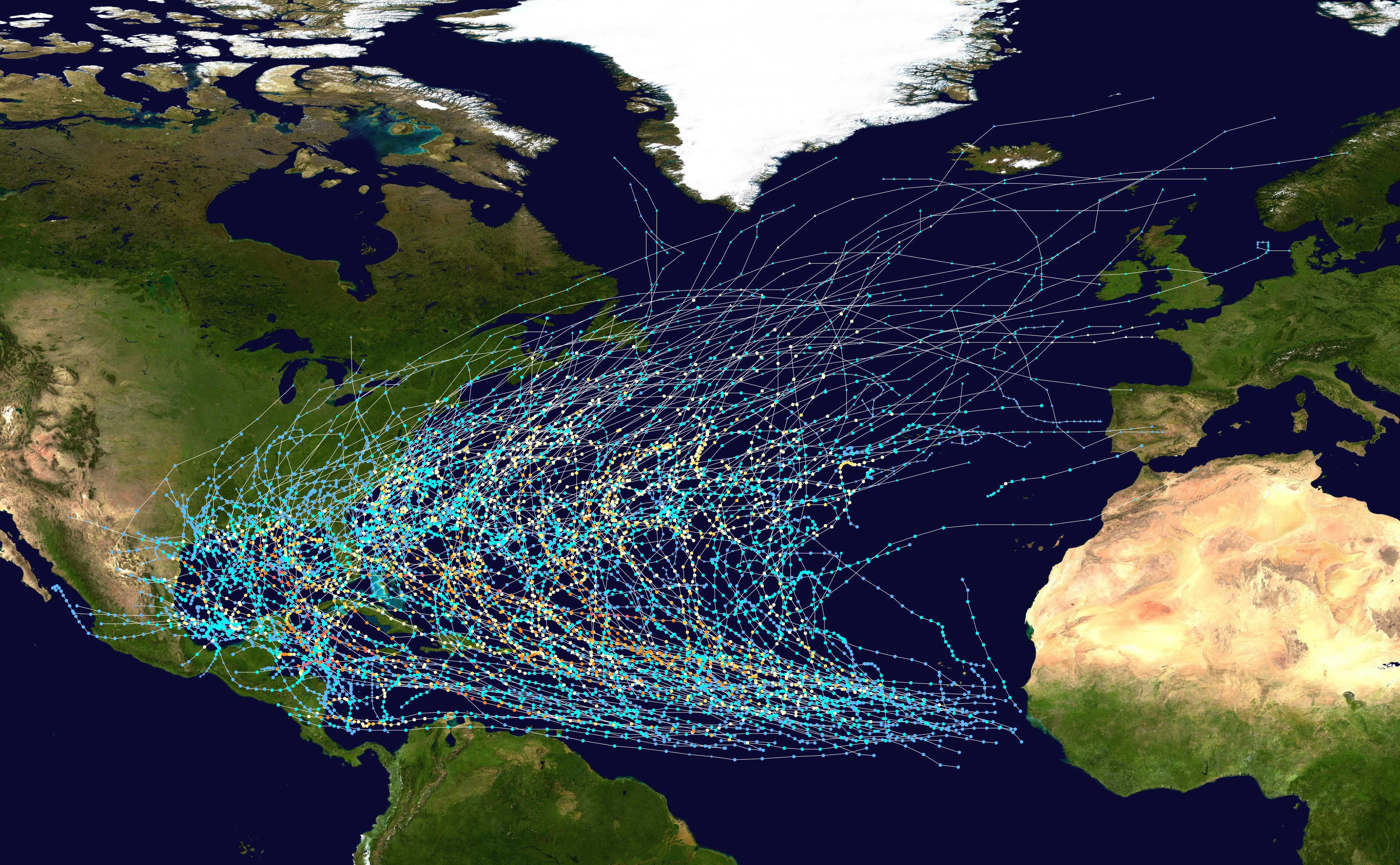
Have you compared it's track with any other past storms yet? If not take a look at the path of the 1900 Galvez storm. Almost right on the same path so far. It went due west.

I know conditions are a bit different but man these two sure are lining up.


Tracks all TS 1980-2005

Image
1 likes   
List of 79 tropical cyclones intercepted by Richard Horodner:
http://www.canebeard.com/page/page/572246.htm

User avatar
La Breeze
Tropical Storm
Tropical Storm
Posts: 168
Joined: Sun Jul 26, 2015 3:21 am
Location: Vermilion Parish, LA

Re: ATL: INVEST 99L - Discussion

#1122 Postby La Breeze » Wed Aug 24, 2016 3:01 am

Hurrilurker wrote:6 hours ago I thought it was getting boring.
3 hours ago I thought it was getting interesting.
Now I think it's getting scary.

They need to get recon in there ASAP. If this is a hurricane tomorrow morning, Southern Florida is going to lose its collective mind, although ultimately it may be Texas/Louisiana/Mississippi that have the most to fear from this storm.

Not liking this....
0 likes   
Not a professional forecast by any means.
Audrey'57, Hilda'64, Betsy '65, Edith'71, Carmen'74, Danny'85, Juan'85, Andrew'92, Iniki'92 (while on vacation in Kauai), Lili'02, Rita'05, Humberto'07, Gustav'08, Ike'08, Isaac'12, Monsoonal Depression'16, Harvey'17, Barry'19, Laura'20, Delta'20, Ida'21.

User avatar
La Breeze
Tropical Storm
Tropical Storm
Posts: 168
Joined: Sun Jul 26, 2015 3:21 am
Location: Vermilion Parish, LA

Re: ATL: INVEST 99L - Discussion

#1123 Postby La Breeze » Wed Aug 24, 2016 3:06 am

CaliforniaResident wrote:Looks very similar to the path of Katrina, hitting South FL as a cat 1 and then blossoming into a MH in the Gulf and making a beeline for New Orleans. Scary times ahead.

Please, no! :cry:
0 likes   
Not a professional forecast by any means.
Audrey'57, Hilda'64, Betsy '65, Edith'71, Carmen'74, Danny'85, Juan'85, Andrew'92, Iniki'92 (while on vacation in Kauai), Lili'02, Rita'05, Humberto'07, Gustav'08, Ike'08, Isaac'12, Monsoonal Depression'16, Harvey'17, Barry'19, Laura'20, Delta'20, Ida'21.

User avatar
TeamPlayersBlue
Category 5
Category 5
Posts: 3445
Joined: Tue Feb 02, 2010 1:44 am
Location: Denver/Applewood, CO

Re: ATL: INVEST 99L - Discussion

#1124 Postby TeamPlayersBlue » Wed Aug 24, 2016 3:16 am

Storm is max 40 MPH now, maybe still a TD. That blow up of convection is impressive and will help the storm get its act together, but what we are seeing are cold cloud tops. Even the radar echos show how disorganized the system still is. Lotta football left for this one.
1 likes   
Personal Forecast Disclaimer:
The posts in this forum are NOT official forecast and should not be used as such. They are just the opinion of the poster and may or may not be backed by sound meteorological data. They are NOT endorsed by any professional institution or storm2k.org. For official information, please refer to the NHC and NWS products.

User avatar
Hurrilurker
Category 2
Category 2
Posts: 719
Joined: Mon Jun 09, 2003 3:32 pm
Location: San Francisco, CA

Re: ATL: INVEST 99L - Discussion

#1125 Postby Hurrilurker » Wed Aug 24, 2016 3:27 am

Maybe starting to pull some dry air from the west/south? Outflow looks somewhat restricted.
Last edited by Hurrilurker on Wed Aug 24, 2016 3:30 am, edited 1 time in total.
1 likes   

USTropics
Professional-Met
Professional-Met
Posts: 2659
Joined: Sun Aug 12, 2007 3:45 am
Location: Florida State University

Re: ATL: INVEST 99L - Discussion

#1126 Postby USTropics » Wed Aug 24, 2016 3:28 am

1 likes   

User avatar
Hammy
Category 5
Category 5
Posts: 5849
Age: 42
Joined: Fri May 25, 2012 5:25 pm
Contact:

Re: ATL: INVEST 99L - Discussion

#1127 Postby Hammy » Wed Aug 24, 2016 3:38 am

Aric Dunn wrote: but your surface analysis is off..


No evidence at all of the surface feature being under the MLC--all indications, both radar and surface, are that this is very elongated and that matches with surface obs I've seen.
1 likes   
The above post is not official and should not be used as such. It is the opinion of the poster and may or may not be backed by sound meteorological data. It is not endorsed by any professional institution or storm2k.org. For official information, please refer to the NHC and NWS products.

USTropics
Professional-Met
Professional-Met
Posts: 2659
Joined: Sun Aug 12, 2007 3:45 am
Location: Florida State University

Re: ATL: INVEST 99L - Discussion

#1128 Postby USTropics » Wed Aug 24, 2016 3:44 am

Recent saved loop:

Image
0 likes   

stormwise

Re: ATL: INVEST 99L - Discussion

#1129 Postby stormwise » Wed Aug 24, 2016 3:50 am

Image
Realtime earth wind, it looks much less elongated than 12hrs ago when there was two vorts on the 06/37 and now shows weak defined center at the surface.
0 likes   

Dean4Storms
S2K Supporter
S2K Supporter
Posts: 6358
Age: 62
Joined: Sun Aug 31, 2003 1:01 pm
Location: Miramar Bch. FL

Re: ATL: INVEST 99L - Discussion

#1130 Postby Dean4Storms » Wed Aug 24, 2016 3:55 am

I think we are very close to a Tropical Cyclone here. If this trend continues I think we get Hermine named by Noon.
0 likes   

User avatar
Hammy
Category 5
Category 5
Posts: 5849
Age: 42
Joined: Fri May 25, 2012 5:25 pm
Contact:

Re: ATL: INVEST 99L - Discussion

#1131 Postby Hammy » Wed Aug 24, 2016 3:59 am

stormwise wrote:Image
Realtime earth wind, it looks much less elongated than 12hrs ago when there was two vorts on the 06/37 and now shows weak defined center at the surface.


That's very near where I analyzed it on radar and Weather Underground obs. What's notable compared to earlier is that the large monsoonal appearance is no longer present and we're left with that singular low center.
0 likes   
The above post is not official and should not be used as such. It is the opinion of the poster and may or may not be backed by sound meteorological data. It is not endorsed by any professional institution or storm2k.org. For official information, please refer to the NHC and NWS products.

User avatar
wzrgirl1
S2K Supporter
S2K Supporter
Posts: 1325
Joined: Sat Sep 04, 2004 6:44 am
Location: Pembroke Pines, Florida

Re: ATL: INVEST 99L - Discussion

#1132 Postby wzrgirl1 » Wed Aug 24, 2016 4:31 am

Been a while since I posted but this storm has captured my attention here in south florida. Went and got water yesterday just in case.
0 likes   

tolakram
Admin
Admin
Posts: 20012
Age: 62
Joined: Sun Aug 27, 2006 8:23 pm
Location: Florence, KY (name is Mark)

Re: ATL: INVEST 99L - Discussion

#1133 Postby tolakram » Wed Aug 24, 2016 4:35 am

More recent saved radar loop
Image
0 likes   
M a r k
- - - - -
Join us in chat: Storm2K Chatroom Invite. Android and IOS apps also available.

The posts in this forum are NOT official forecasts and should not be used as such. Posts are NOT endorsed by any professional institution or STORM2K.org. For official information and forecasts, please refer to NHC and NWS products.

tolakram
Admin
Admin
Posts: 20012
Age: 62
Joined: Sun Aug 27, 2006 8:23 pm
Location: Florence, KY (name is Mark)

Re: ATL: INVEST 99L - Discussion

#1134 Postby tolakram » Wed Aug 24, 2016 4:39 am

I don't see any reported west winds at the surface.

Image
0 likes   
M a r k
- - - - -
Join us in chat: Storm2K Chatroom Invite. Android and IOS apps also available.

The posts in this forum are NOT official forecasts and should not be used as such. Posts are NOT endorsed by any professional institution or STORM2K.org. For official information and forecasts, please refer to NHC and NWS products.

stormwise

Re: ATL: INVEST 99L - Discussion

#1135 Postby stormwise » Wed Aug 24, 2016 4:48 am

Hammy wrote:
stormwise wrote:Image
Realtime earth wind, it looks much less elongated than 12hrs ago when there was two vorts on the 06/37 and now shows weak defined center at the surface.


That's very near where I analyzed it on radar and Weather Underground obs. What's notable compared to earlier is that the large monsoonal appearance is no longer present and we're left with that singular low center.


Image
looks defined


Image
Listed with TCFA alert.
1 likes   

User avatar
Nimbus
Category 5
Category 5
Posts: 5303
Joined: Mon Jul 19, 2004 10:54 am

Re: ATL: INVEST 99L - Discussion

#1136 Postby Nimbus » Wed Aug 24, 2016 5:10 am

If this isn't the surface center its close..

http://www.meteofrance.gp/previsions-me ... r/antilles

Should be some weak west winds on the north shore of Guadalupe?

After a quick review of the 0Z model runs my first thought was... bring in the lawn furniture Luis!
0 likes   

User avatar
Blown Away
S2K Supporter
S2K Supporter
Posts: 10150
Joined: Wed May 26, 2004 6:17 am

Re: ATL: INVEST 99L - Discussion

#1137 Postby Blown Away » Wed Aug 24, 2016 5:27 am

Nimbus wrote:If this isn't the surface center its close..

http://www.meteofrance.gp/previsions-me ... r/antilles

Should be some weak west winds on the north shore of Guadalupe?

After a quick review of the 0Z model runs my first thought was... bring in the lawn furniture Luis!


Would you estimate the LLC to be just NNW of Guadalupe?
0 likes   
Hurricane Eye Experience: David 79, Irene 99, Frances 04, Jeanne 04, Wilma 05... EYE COMING MY WAY IN 2024…
Hurricane Brush Experience: Andrew 92, Erin 95, Floyd 99, Matthew 16, Irma 17, Ian 22, Nicole 22…

User avatar
p1nheadlarry
Category 2
Category 2
Posts: 672
Age: 33
Joined: Wed Jan 29, 2014 2:42 pm
Location: SR County FL

Re: ATL: INVEST 99L - Discussion

#1138 Postby p1nheadlarry » Wed Aug 24, 2016 5:28 am

Pretty close to a TD/TS this morning, if it passes through PR and stays north of HIspaniola, it could get very real.
0 likes   
--;->#GoNoles--;->.

stormwise

Re: ATL: INVEST 99L - Discussion

#1139 Postby stormwise » Wed Aug 24, 2016 5:29 am

Nimbus wrote:If this isn't the surface center its close..

http://www.meteofrance.gp/previsions-me ... r/antilles

Should be some weak west winds on the north shore of Guadalupe?

After a quick review of the 0Z model runs my first thought was... bring in the lawn furniture Luis!

Can depend on the placement of the wind metre they aint always in the perfect position.
0 likes   

User avatar
Blown Away
S2K Supporter
S2K Supporter
Posts: 10150
Joined: Wed May 26, 2004 6:17 am

Re: ATL: INVEST 99L - Discussion

#1140 Postby Blown Away » Wed Aug 24, 2016 5:34 am

Image
Projected movement based off the 00z & 06z Dvorak Fix points... Any deviation from WNW to W track or SW center relocations and it's a trip over Hispaniola...
0 likes   
Hurricane Eye Experience: David 79, Irene 99, Frances 04, Jeanne 04, Wilma 05... EYE COMING MY WAY IN 2024…
Hurricane Brush Experience: Andrew 92, Erin 95, Floyd 99, Matthew 16, Irma 17, Ian 22, Nicole 22…


Return to “2016”

Who is online

Users browsing this forum: No registered users and 1 guest