@1900hurricane.
Why are storms forming so far north this year closer to 20N instead of the usual equator tracks?
Is it Nina? Waters down there are still Super hot...
2016 WPAC Season
Moderator: S2k Moderators
Forum rules

The posts in this forum are NOT official forecasts and should not be used as such. They are just the opinion of the poster and may or may not be backed by sound meteorological data. They are NOT endorsed by any professional institution or STORM2K. For official information, please refer to products from the National Hurricane Center and National Weather Service.
-
dexterlabio
- Category 5

- Posts: 3519
- Joined: Sat Oct 24, 2009 11:50 pm
Re: 2016 WPAC Season
I was expecting that a potent system will form in the WPAC now that the active MJO phase is over the area....but SE Asia and portions of the WestPac have only been dominated by cluttered areas of convection. Maybe the inverse-oriented monsoon trough setup is not good for TC's to develop?
0 likes
Personal Forecast Disclaimer:
The posts in this forum are NOT official forecast and should not be used as such. They are just the opinion of the poster and may or may not be backed by sound meteorological data. They are NOT endorsed by any professional institution or storm2k.org. For official information, please refer to the NHC and NWS products.
The posts in this forum are NOT official forecast and should not be used as such. They are just the opinion of the poster and may or may not be backed by sound meteorological data. They are NOT endorsed by any professional institution or storm2k.org. For official information, please refer to the NHC and NWS products.
-
1900hurricane

- Category 5
- Posts: 6063
- Age: 34
- Joined: Fri Feb 06, 2015 12:04 pm
- Location: Houston, TX
- Contact:
Re: 2016 WPAC Season
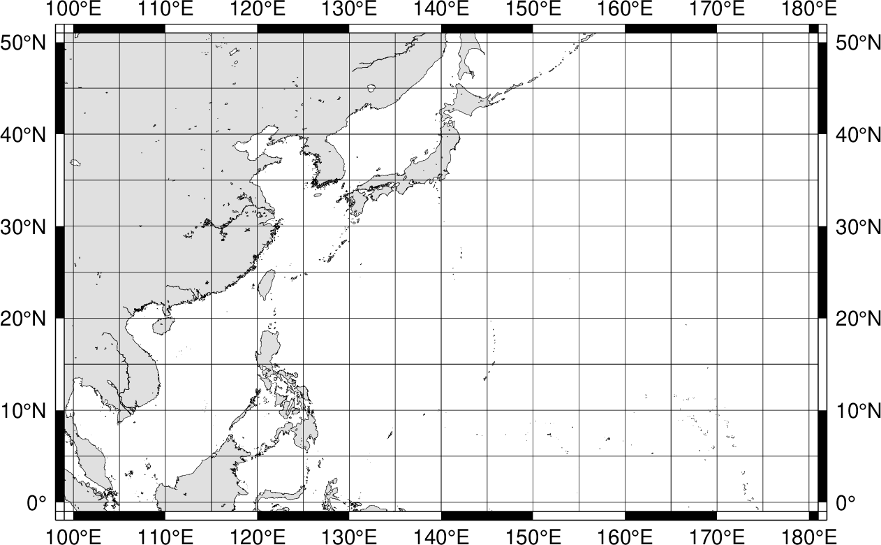
It might not be the full picture, but I think the switch to a more La Nina base state certainly has a part to play. Regions below 10*N are generally dominated by trade winds almost as far east as the Philippines, which is displacing monsoon southwesterlies to the north (with a recent ASCAT snapshot demonstrating that below). Reverse-oriented monsoon troughs can and have spit out intense typhoons, but those are usually storms that form near the (south)western end of the trough and end up slowly moving initially and stewing a little bit in the true tropics or a favorable portion of the southern subtropics. With the current setup, systems are moving into the subtropics, which is notably hostile right now, before they can get extremely well organized. The majority of intense Western Pacific systems become their strongest in the true tropics below 20*N, but the current regime is not allowing that portion of the basin to be open to storm intensification.

0 likes
Contract Meteorologist. TAMU & MSST. Fiercely authentic, one of a kind. We are all given free will, so choose a life meant to be lived. We are the Masters of our own Stories.
Opinions expressed are mine alone.
Follow me on Twitter at @1900hurricane : Read blogs at https://1900hurricane.wordpress.com/
Opinions expressed are mine alone.
Follow me on Twitter at @1900hurricane : Read blogs at https://1900hurricane.wordpress.com/
-
euro6208
Re: 2016 WPAC Season
0 likes
-
euro6208
Re: 2016 WPAC Season

http://www.weather.gov.hk/blog/en/archives/00000199.htm
Quite an interesting article i found...JTWC leading all asian agencies...
0 likes
Re: 2016 WPAC Season
euro6208 wrote:
http://www.weather.gov.hk/blog/en/archives/00000199.htm
Quite an interesting article i found...JTWC leading all asian agencies...
The sampling size can be a problem though as HKO only considers the ones west of 140E during their verification. However, a lot of the TCs last year actually develop east of 140E due to El Nino, so their verification may not be representative of the overall performance last year.
http://www.typhooncommittee.org/48th/do ... (2016.3.31).pdf
According to this report, JTWC actually did not lead last year.
0 likes
Personal Forecast Disclaimer:
The posts in this forum are NOT official forecast and should not be used as such. They are just the opinion of the poster and may or may not be backed by sound meteorological data. They are NOT endorsed by any professional institution or storm2k.org. For official information, please refer to RSMC and NWS products.
The posts in this forum are NOT official forecast and should not be used as such. They are just the opinion of the poster and may or may not be backed by sound meteorological data. They are NOT endorsed by any professional institution or storm2k.org. For official information, please refer to RSMC and NWS products.
-
euro6208
Re: 2016 WPAC Season
Shear forecast for September has generally normal to low shear near the Philippines and the subtropics near Wake Island...

Shear decreases further in October...Could be a big end if this verifies...

Shear decreases further in October...Could be a big end if this verifies...
0 likes
-
euro6208
Re: 2016 WPAC Season
1900hurricane wrote:The storm names are coming at a good clip now, but most aren't doing too much intensity-wise so far, which is shades of '99 a little. Still, we'll probably end up blowing '99 out of the water at least (that year only ended up with 110 units of ACE, the lowest I'm aware of in the WPac).
Doubt we can reach 33 TC's (9 in Aug, 7 in Sept, and 3 in Oct,Nov,and Dec) from that year but i do agree that we can at least muster more ACE.
0 likes

Re: 2016 WPAC Season
This year seems like the storms are struggling more than usual and there have been four almost Atlantic-ish storms that went hybrid as they reached 30N. Is there any particular reason? It seems strange.
0 likes
The above post is not official and should not be used as such. It is the opinion of the poster and may or may not be backed by sound meteorological data. It is not endorsed by any professional institution or storm2k.org. For official information, please refer to the NHC and NWS products.

-
Typhoon Hunter
- WesternPacificWeather.com

- Posts: 1222
- Joined: Wed Oct 11, 2006 11:37 am
- Location: Tokyo
- Contact:
Re: 2016 WPAC Season
Caneman12 wrote:Because W pac season is a bust
Wpac makes me zzzzzzz right now, nothing interests me less than these weak hybrid storms. Goes without saying though that Chanthu could still cause issues in Japan with flooding.
A bust? Not really sure what that means out here. Already had one strong cat 4 make landfall (peaking as a 5) and the season basically runs till Dec 31st. I would not be at all surprised if this year is heavily backloaded with at least one more super typhoon landfall, probably in Luzon.
0 likes
-
stormwise
Re: 2016 WPAC Season
As far as i know 2010 was the least active typhoon season with 14 named storms, one of them being Megi 885 hPa. The season really ramped up from late August to December. I find it interesting 2010 was also a year the IOD also had a strong negative. 
Last edited by stormwise on Tue Aug 16, 2016 7:41 am, edited 1 time in total.
1 likes
-
dexterlabio
- Category 5
- Posts: 3519
- Joined: Sat Oct 24, 2009 11:50 pm
Re: 2016 WPAC Season
Hammy wrote:This year seems like the storms are struggling more than usual and there have been four almost Atlantic-ish storms that went hybrid as they reached 30N. Is there any particular reason? It seems strange.
For a post-Nino year, a record low WPAC season is not strange. This is supposed to be the year when the Atlantic turns the table and becomes hyperactive, in contrast to an El Nino year when WPAC is the one that is crazy awake.
Which reminds me though, around July or August 2013 I almost thought WPAC would be another record low typhoon season. Then came September with Cat 3 to 5 typhoon streak until November. Perhaps we can say that even in a bust season, WPAC can spawn at least a Cat 3.
0 likes
Personal Forecast Disclaimer:
The posts in this forum are NOT official forecast and should not be used as such. They are just the opinion of the poster and may or may not be backed by sound meteorological data. They are NOT endorsed by any professional institution or storm2k.org. For official information, please refer to the NHC and NWS products.
The posts in this forum are NOT official forecast and should not be used as such. They are just the opinion of the poster and may or may not be backed by sound meteorological data. They are NOT endorsed by any professional institution or storm2k.org. For official information, please refer to the NHC and NWS products.
-
1900hurricane
- Category 5
- Posts: 6063
- Age: 34
- Joined: Fri Feb 06, 2015 12:04 pm
- Location: Houston, TX
- Contact:
Re: 2016 WPAC Season
Hammy wrote:This year seems like the storms are struggling more than usual and there have been four almost Atlantic-ish storms that went hybrid as they reached 30N. Is there any particular reason? It seems strange.
I mentioned some of my thoughts in comment 244, but the short version is storms are forming much further north than usual and then immediately moving north into more hostile areas. The box south of 20*N and extending from the Philippines east across the basin where typhoons typically get strong has been notably empty so far this year (except for Nepartak, which did traverse that area and possesses over half the season's ACE and 3/4 the season's PDI). The active season of 2015 had many storms track across the true tropical regions of the Western Pacific, a stark contrast to this year thus far.
0 likes
Contract Meteorologist. TAMU & MSST. Fiercely authentic, one of a kind. We are all given free will, so choose a life meant to be lived. We are the Masters of our own Stories.
Opinions expressed are mine alone.
Follow me on Twitter at @1900hurricane : Read blogs at https://1900hurricane.wordpress.com/
Opinions expressed are mine alone.
Follow me on Twitter at @1900hurricane : Read blogs at https://1900hurricane.wordpress.com/
-
Typhoon Hunter
- WesternPacificWeather.com
- Posts: 1222
- Joined: Wed Oct 11, 2006 11:37 am
- Location: Tokyo
- Contact:
Re: 2016 WPAC Season
Nice graphic Ryan, sums up the situation nicely. Yeah 2013 springs to mind too, that was extremely back loaded!
0 likes
-
1900hurricane
- Category 5
- Posts: 6063
- Age: 34
- Joined: Fri Feb 06, 2015 12:04 pm
- Location: Houston, TX
- Contact:
Re: 2016 WPAC Season
Typhoon Hunter wrote:Nice graphic Ryan, sums up the situation nicely. Yeah 2013 springs to mind too, that was extremely back loaded!
Thanks! As far as a 2013 comparison goes, Utor was just dissipating at this time that year, giving 2013 the edge on ACE on 2016 for the moment, but the two are currently running very close together. This year is also in the company of some other fairly lackluster seasons so far, as illustrated by the following Tweet from Dr. Klotzbach.
https://twitter.com/philklotzbach/status/765232385310937088
2010 and 1998 had the second and third lowest ACE in the post-recon era (only the truly putrid 1999 had lower). 2013 parallels offer some hope of recovery, but the post-Nino years of 1998 and 2010 may end up being better analogs.
As far as post-Ninos go, 1983 is an interesting one. It had many of the flaws of other post-Ninos, but managed to eek out some surprising quality storms, and not just in the October/early November time frame when post-Ninos usually offer up their gem.
0 likes
Contract Meteorologist. TAMU & MSST. Fiercely authentic, one of a kind. We are all given free will, so choose a life meant to be lived. We are the Masters of our own Stories.
Opinions expressed are mine alone.
Follow me on Twitter at @1900hurricane : Read blogs at https://1900hurricane.wordpress.com/
Opinions expressed are mine alone.
Follow me on Twitter at @1900hurricane : Read blogs at https://1900hurricane.wordpress.com/
-
1900hurricane
- Category 5
- Posts: 6063
- Age: 34
- Joined: Fri Feb 06, 2015 12:04 pm
- Location: Houston, TX
- Contact:
Re: 2016 WPAC Season
#LOLGyre

0 likes
Contract Meteorologist. TAMU & MSST. Fiercely authentic, one of a kind. We are all given free will, so choose a life meant to be lived. We are the Masters of our own Stories.
Opinions expressed are mine alone.
Follow me on Twitter at @1900hurricane : Read blogs at https://1900hurricane.wordpress.com/
Opinions expressed are mine alone.
Follow me on Twitter at @1900hurricane : Read blogs at https://1900hurricane.wordpress.com/
-
Typhoon Hunter
- WesternPacificWeather.com
- Posts: 1222
- Joined: Wed Oct 11, 2006 11:37 am
- Location: Tokyo
- Contact:
Re: 2016 WPAC Season
That's why those analogs of 1998 and 2010 concern me in regards to what's in store for Luzon later this year.
I remember Utor in 2013, beast of a storm!
I remember Utor in 2013, beast of a storm!
0 likes
Who is online
Users browsing this forum: Ulf, WaveBreaking and 148 guests