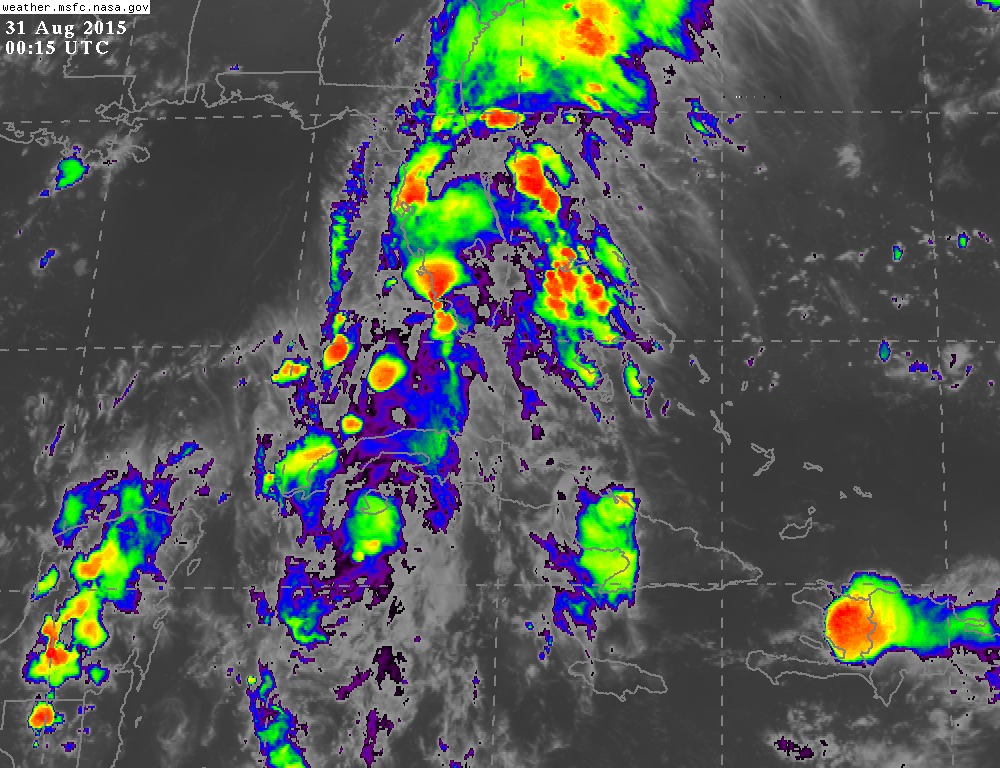
Weatherboy1 wrote:Well, this is definitely interesting. Erika doesn't look so hot on satellite this morning ... but obviously more models are cranking her up toward the end of the 5-6 day forecast window. I've seen a lot of storms approaching FL from the general area Erika is progged to approach - and ultimately curve away at the last minute. So given A) current lousy appearance and B) the recurve factor some models are showing and past experience shows is likely, I'm not getting overly concerned here YET. But definitely worth watching to see how trends unfold in the next day or two.
Just the opinion of a semi-educated amateur, listen to the experts as always

Great point regarding model fluctuation, but even better point with regard to how Erika presently appears. Modeling has improved over the years and NHC has especially performed better and better with regard to track forecast and margin of error. Personally, I don't pay too much attention to the models quite yet, because while they may fairly accurately be displaying the near to mid term steering influences, what they cannot as effectively forecast is how well or how fast/slowly will Erika develop. That is why some models show a very weak system and some a strong one. The point here is that as the various models initiate Erika for each run, the behavior of each run may be inconsistent based on how developed (or less developed) that Erika continues to become. Even now, the storm appears not very well organized and seems to be moving westward (or just North of due west). If it remains weaker than anticipated, than it wouldn't be unreasonable for it to continue to track more westward with the surface flow (well BAMS to BAMM perhaps). Even now, the NHC forecast has Erika at 15.2 N at 1800Z today, and at 16.0 N by 0600Z tonight (well, technically tomm. a.m.) If Erika were to track south of those points, then adjustments to track would have to ensue. If that occurs, the potential for land interaction changes and suddenly the models might appear to be hopping all over the place, but in fact the variable that is not yet particularly consistent, is the storm itself.
Based on all that, I think it makes sense to wait and see if Erika truly starts to become a bit more vertically developed today through tomm. That's when I begin to pay a bit more attention to how the global models evolve and/or the nuances regarding speed of the storm's forward motion verses downstream digging troughs, cut-off lows, or building ridges may play out.


