
WPAC: HAGUPIT - Post-Tropical
Moderator: S2k Moderators
-
cycloneye

- Admin

- Posts: 149559
- Age: 69
- Joined: Thu Oct 10, 2002 10:54 am
- Location: San Juan, Puerto Rico
Re: WPAC: HAGUPIT - Typhoon
Eyewall replacement cycle almost complete.
0 likes
Visit the Caribbean-Central America Weather Thread where you can find at first post web cams,radars
and observations from Caribbean basin members Click Here
and observations from Caribbean basin members Click Here
-
ozonepete
- Professional-Met

- Posts: 4743
- Joined: Mon Sep 07, 2009 3:23 pm
- Location: From Ozone Park, NYC / Now in Brooklyn, NY
Re: WPAC: HAGUPIT - Typhoon
0 likes
-
cycloneye
- Admin
- Posts: 149559
- Age: 69
- Joined: Thu Oct 10, 2002 10:54 am
- Location: San Juan, Puerto Rico
Re: WPAC: HAGUPIT - Typhoon
00z Best Track down to 125kts.
22W HAGUPIT 141205 0000 11.7N 129.7E WPAC 125 929
22W HAGUPIT 141205 0000 11.7N 129.7E WPAC 125 929
0 likes
Visit the Caribbean-Central America Weather Thread where you can find at first post web cams,radars
and observations from Caribbean basin members Click Here
and observations from Caribbean basin members Click Here
-
stormstrike
- Tropical Storm

- Posts: 159
- Joined: Thu Nov 29, 2012 12:37 am
Re: WPAC: HAGUPIT - Typhoon
ozonepete wrote::uarrow: Thanks, Luis. The new larger eye is almost complete and Hagupit will most likely keep this larger eye and continue weakening. Looks to be starting a recurve and weakening. Looks like a "euro-fail."
How could you say it's a "euro-fail" when even the GFS, the one which insisted a recurve for how many runs, already shifted to the west on their latest run?
0 likes
-
wxman57

- Moderator-Pro Met

- Posts: 23175
- Age: 68
- Joined: Sat Jun 21, 2003 8:06 pm
- Location: Houston, TX (southwest)
Re: WPAC: HAGUPIT - Typhoon
stormstrike wrote:ozonepete wrote::uarrow: Thanks, Luis. The new larger eye is almost complete and Hagupit will most likely keep this larger eye and continue weakening. Looks to be starting a recurve and weakening. Looks like a "euro-fail."
How could you say it's a "euro-fail" when even the GFS, the one which insisted a recurve for how many runs, already shifted to the west on their latest run?
I agree. I'd say there's a good chance of a "euro-NAIL" on this one. Even yesterday morning, all 21 GFS ensemble members had it recurving east of Luzon. The GFS has trended hundreds of miles south and west, while the Euro hasn't moved more than 30-40 miles either way. Of course, Hagupit hasn't hit the Philippines - yet...
0 likes
-
xtyphooncyclonex

- Category 5

- Posts: 3892
- Age: 24
- Joined: Sat Dec 08, 2012 9:07 am
- Location: Cebu City
- Contact:
That westward turn and slowdown greatly reminds me of powerful category 4 typhoon Amy which did the same, yet went WSW-ward. And that is what the ECMWF is consistently showing.
0 likes
REMINDER: My opinions that I, or any other NON Pro-Met in this forum, are unofficial. Please do not take my opinions as an official forecast and warning. I am NOT a meteorologist. Following my forecasts blindly may lead to false alarm, danger and risk if official forecasts from agencies are ignored.
-
ozonepete
- Professional-Met
- Posts: 4743
- Joined: Mon Sep 07, 2009 3:23 pm
- Location: From Ozone Park, NYC / Now in Brooklyn, NY
Re: WPAC: HAGUPIT - Typhoon
wxman57 wrote:stormstrike wrote:ozonepete wrote::uarrow: Thanks, Luis. The new larger eye is almost complete and Hagupit will most likely keep this larger eye and continue weakening. Looks to be starting a recurve and weakening. Looks like a "euro-fail."
How could you say it's a "euro-fail" when even the GFS, the one which insisted a recurve for how many runs, already shifted to the west on their latest run?
I agree. I'd say there's a good chance of a "euro-NAIL" on this one. Even yesterday morning, all 21 GFS ensemble members had it recurving east of Luzon. The GFS has trended hundreds of miles south and west, while the Euro hasn't moved more than 30-40 miles either way. Of course, Hagupit hasn't hit the Philippines - yet...
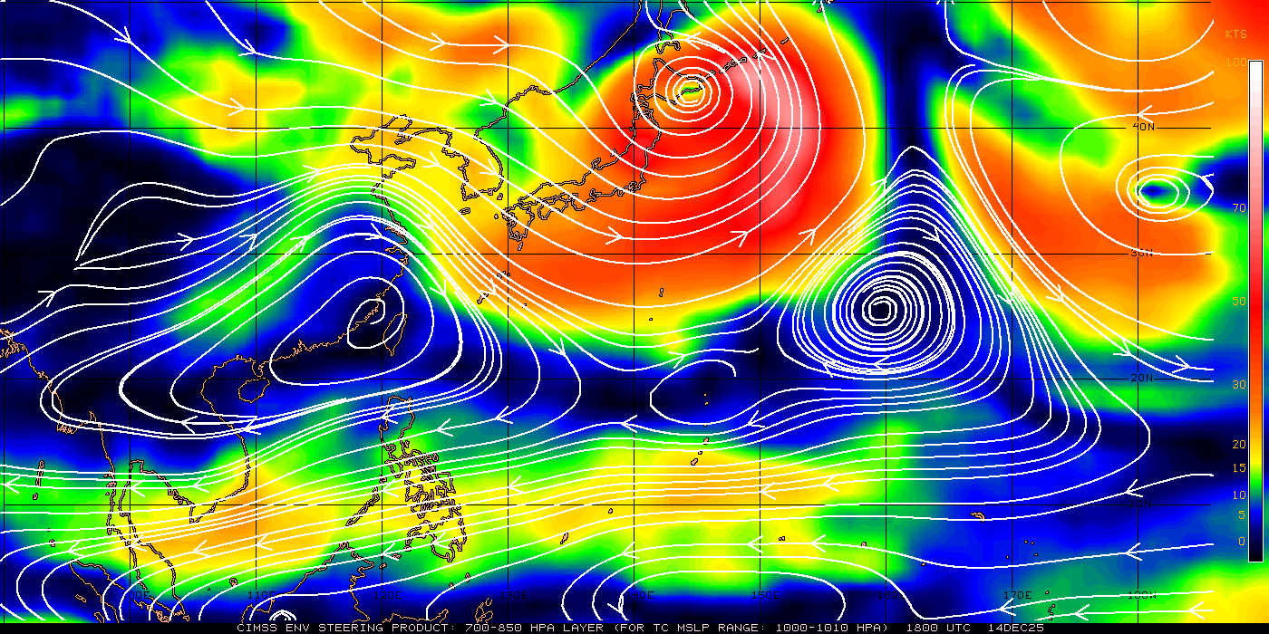
Because the euro always had the west track and the GFS for most of the time did not. So by any scoring method you'd like, if this recurves soon and hits Luzon or misses entirely, the GFS has the better record because the euro never called for a recurve. Look at the western side of the circulation envelope. It's hitting a wall.
0 likes
-
xtyphooncyclonex
- Category 5
- Posts: 3892
- Age: 24
- Joined: Sat Dec 08, 2012 9:07 am
- Location: Cebu City
- Contact:
Re: WPAC: HAGUPIT - Typhoon
ozonepete wrote:Because the euro always had the west track and the GFS for most of the time did not. So by any scoring method you'd like, if this recurves soon and hits Luzon or misses entirely, the GFS has the better record because the euro never called for a recurve. Look at the western side of the circulation envelope. It's hitting a wall.
The GFS had moved many (perhaps hundred) miles, and from a recurve to Samar landfall. Euro had also better consistency in dealing with the storm's track and intensity, thus, they only shifted a few miles and much lesser than of the GFS.
0 likes
REMINDER: My opinions that I, or any other NON Pro-Met in this forum, are unofficial. Please do not take my opinions as an official forecast and warning. I am NOT a meteorologist. Following my forecasts blindly may lead to false alarm, danger and risk if official forecasts from agencies are ignored.
-
dexterlabio
- Category 5
- Posts: 3511
- Joined: Sat Oct 24, 2009 11:50 pm
Re: WPAC: HAGUPIT - Typhoon
I agree with ozonepete about the storm hitting up a "wall"...it's the STR located west of Luzon. If the trough was deep enough, this storm could have started going north and follow the trough...but it looks like it's not yet that deep, thus the storm slowing down... The question is if this STR will resume the steering..
0 likes
Personal Forecast Disclaimer:
The posts in this forum are NOT official forecast and should not be used as such. They are just the opinion of the poster and may or may not be backed by sound meteorological data. They are NOT endorsed by any professional institution or storm2k.org. For official information, please refer to the NHC and NWS products.
The posts in this forum are NOT official forecast and should not be used as such. They are just the opinion of the poster and may or may not be backed by sound meteorological data. They are NOT endorsed by any professional institution or storm2k.org. For official information, please refer to the NHC and NWS products.
-
mrbagyo

- Category 5
- Posts: 3963
- Age: 33
- Joined: Thu Apr 12, 2012 9:18 am
- Location: 14.13N 120.98E
- Contact:
Re: WPAC: HAGUPIT - Typhoon

0 likes
The posts in this forum are NOT official forecast and should not be used as such. They are just the opinion of the poster and may or may not be backed by sound meteorological data. They are NOT endorsed by any professional institution or storm2k.org. For official information, please refer to RSMC, NHC and NWS products.
-
euro6208
Re: WPAC: HAGUPIT - Typhoon

Last edited by euro6208 on Thu Dec 04, 2014 8:57 pm, edited 2 times in total.
0 likes
-
Filipinas50

- Tropical Depression

- Posts: 77
- Age: 60
- Joined: Tue May 28, 2013 2:07 am
- Location: Planet Earth
Re: WPAC: HAGUPIT - Typhoon
Based on my personal opinion, the eye of the storm will not reform and it will continue to weaken due to the effect of the northeast moonsoon and will not get a chance to regain intensity due to imminent land interaction or it might even curve to the north and dissipate but I could be wrong ...
Personal Forecast Disclaimer:
The posts in this forum are NOT official forecast and should not be used as such. They are just the opinion of the poster and may or may not be backed by sound meteorological data. They are NOT endorsed by any professional institution or storm2k.org. For official information, please refer to the NHC and NWS products.[tdp]
Last edited by RL3AO on Thu Dec 04, 2014 9:07 pm, edited 3 times in total.
Reason: Add disclaimer
Reason: Add disclaimer
0 likes
RETIRED FROM THE 9-5 RAT RACE
-
ozonepete
- Professional-Met
- Posts: 4743
- Joined: Mon Sep 07, 2009 3:23 pm
- Location: From Ozone Park, NYC / Now in Brooklyn, NY
Re: WPAC: HAGUPIT - Typhoon
xtyphooncyclonex wrote:ozonepete wrote:Because the euro always had the west track and the GFS for most of the time did not. So by any scoring method you'd like, if this recurves soon and hits Luzon or misses entirely, the GFS has the better record because the euro never called for a recurve. Look at the western side of the circulation envelope. It's hitting a wall.
The GFS had moved many (perhaps hundred) miles, and from a recurve to Samar landfall. Euro had also better consistency in dealing with the storm's track and intensity, thus, they only shifted a few miles and much lesser than of the GFS.
You're still missing the point. It doesn't matter how many miles either track has shifted. It's that the GFS (and many other models) almost always had a recurve over or east of the northern Philippines and the euro has never had it.
You said it yourself that the euro has been consistently westward into the central Philippines. If this recurves, how is never forecasting a recurve a good forecast? Or put another way, if this doesn't go westward over the central Philippines, how is a consistent forecast that it would do that a good forecast?
0 likes
-
stormstrike
- Tropical Storm
- Posts: 159
- Joined: Thu Nov 29, 2012 12:37 am
Re: WPAC: HAGUPIT - Typhoon
Filipinas50 wrote:Based on my personal opinion, the eye of the storm will not reform and it will continue to weaken due to the effect of the northeast moonsoon and will not get a chance to regain intensity due to imminent land interaction or it might even curve to the north and dissipate but I could be wrong ...
if you look at latest satellite images, the eye is starting to pop up again.. and it looks better than a few hours ago.
0 likes
-
euro6208
Re: WPAC: HAGUPIT - Typhoon
Although not a category 5, it is still forecast to make landfall as a major typhoon...Washi in 2011 was only a tropical storm when it killed over 1200 in the southern philippines...

Slight north shift
Slight north shift
Last edited by euro6208 on Thu Dec 04, 2014 9:24 pm, edited 1 time in total.
0 likes
-
cycloneye
- Admin
- Posts: 149559
- Age: 69
- Joined: Thu Oct 10, 2002 10:54 am
- Location: San Juan, Puerto Rico
Re: WPAC: HAGUPIT - Typhoon
03:00z warning.

0 likes
Visit the Caribbean-Central America Weather Thread where you can find at first post web cams,radars
and observations from Caribbean basin members Click Here
and observations from Caribbean basin members Click Here
Its just finishing up an EWRC. I don't think we can make a blanket statement on anything right now...track or strength. This could very easily re-intensify again the next 24 hours.
Either way, its a fascinating system to watch from a models perspective. Seems to be right along a bifurcation point.
Either way, its a fascinating system to watch from a models perspective. Seems to be right along a bifurcation point.
0 likes
-
ozonepete
- Professional-Met
- Posts: 4743
- Joined: Mon Sep 07, 2009 3:23 pm
- Location: From Ozone Park, NYC / Now in Brooklyn, NY
Re:
RL3AO wrote:Its just finishing up an EWRC. I don't think we can make a blanket statement on anything right now...track or strength. This could very easily re-intensify again the next 24 hours.
Exactly! Thank you. We can conjecture but we should be using data to back up our conjectures. Personally I think the JTWC has been doing an excellent job. I have no complaints with the way they've forecast this so far at all.
0 likes
-
ozonepete
- Professional-Met
- Posts: 4743
- Joined: Mon Sep 07, 2009 3:23 pm
- Location: From Ozone Park, NYC / Now in Brooklyn, NY
Re: WPAC: HAGUPIT - Typhoon
So they are moving the track northward and dropping intensity steadily. That's what I've been expecting. They will likely keep shifting the track to more of a recurve as we go forward.
0 likes
-
euro6208
Re: Re:
ozonepete wrote:RL3AO wrote:Its just finishing up an EWRC. I don't think we can make a blanket statement on anything right now...track or strength. This could very easily re-intensify again the next 24 hours.
Exactly! Thank you. We can conjecture but we should be using data to back up our conjectures. Personally I think the JTWC has been doing an excellent job. I have no complaints with the way they've forecast this so far at all.
I agree...While ALL asian agencies were in favor of euro slamming near storm weary tacloban, JTWC favored a track right in the middle of euro and gfs and it is panning out and as you say could even recurve...
Last edited by euro6208 on Thu Dec 04, 2014 9:39 pm, edited 1 time in total.
0 likes
Who is online
Users browsing this forum: No registered users and 13 guests