The global guidance continues to advertise a changeable pattern in the medium to longer range as we head deeper into December. After our quick cool down Monday night into Tuesday, foggy continues look to be the theme as the sharp Arctic front retreats N rather quickly in the zonal flow off the Pacific. There are indications that another storm system may develop in the Southern jet stream later this week into next weekend as the southern branch system has more energy associated with it than the northern branch due to the fast zonal flow and the coldest air remains bottled up N of the US border.
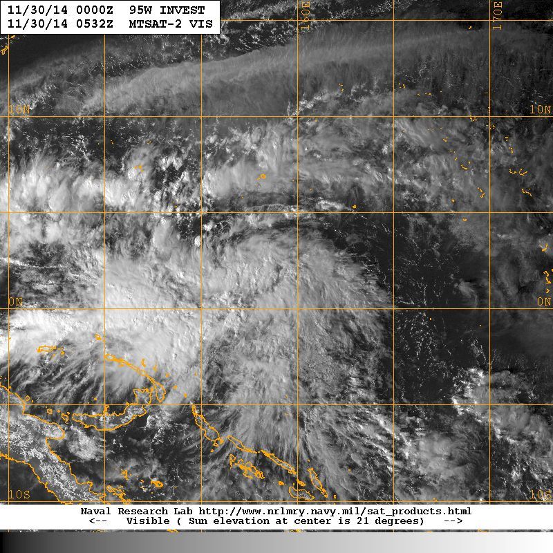
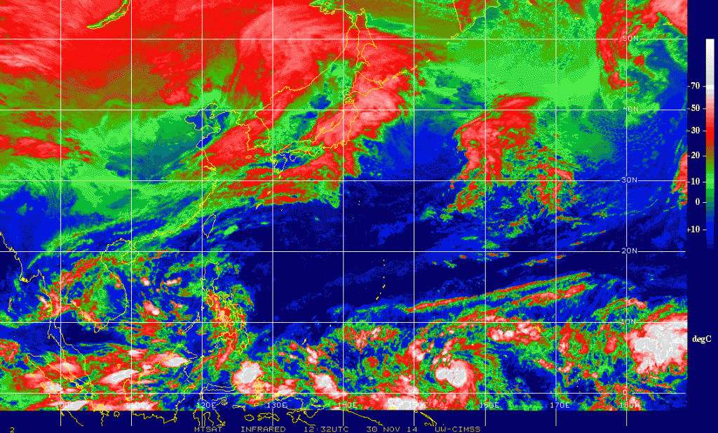
The fly in the ointment in the longer range will be what becomes of a developing tropical cyclone in the Western Pacific (95W) near New Guinea. It is important to understand that what happens halfway around the world does have an effect on our sensible weather across North America. The Global models are suggesting a powerful Typhoon will develop and skirt near the Philippines and eventual recurve into a powerful cold upper low near the Aleutian Islands and Bering Sea in about 10-12 days. Such a pattern developed with Super Typhoon Nuri as you recall back in early November that reshuffled the entire planetary weather pattern across the Northern Hemisphere and brought our record breaking cold outbreak mid-November. It is also noteworthy that the global models are suggesting the cold pool of water across the Northern Pacific (PDO) will continue to be strongly positive. We have not witnessed a strongly +PDO for many years, so that suggests the colder stormier weather is very possible along and E of the Continental Divide. Other teleconnection indices we monitor are trending toward a pattern that is very capable of delivery cold air very far south. In fact, if the –EPO (East Pacific Oscillation), + PNA (Pacific-North American Pattern) and a – AO (Arctic Oscillation) coincide with a –NAO (North Atlantic Oscillation), then it is very possible the coldest air of the Winter Season may arrive before Christmas. It is also noteworthy that the sub-tropical jet appears to remain very noisy allowing for mid/upper level tropical moisture to stream over any cold airmass at the surface that may be in place later in the month. Typically we need to monitor for areas of low pressure in the upper levels that track across Northern Mexico into the Southern Rockies and the Southern Plains. It is always a wildcard to forecast any surface lows spinning up along the NW Gulf Coast, but usually we see such a pattern in Winter where coastal waves of low pressure develop and sometimes deepen into rather strong Coastal Lows as they move N and E toward the Atlantic. In closing the pattern looks rather volatile, so expect changes as we enter the month of December and deeper into Winter during January.


Carla/Alicia/Jerry(In The Eye)/Michelle/Charley/Ivan/Dennis/Katrina/Rita/Wilma/Ike/Harvey
Member: National Weather Association
Wx Infinity Forums
http://wxinfinity.com/index.phpFacebook.com/WeatherInfinity
Twitter @WeatherInfinity


 The posts in this forum are NOT official forecast and should not be used as such. They are just the opinion of the poster and may or may not be backed by sound meteorological data. They are NOT endorsed by any professional institution or


