
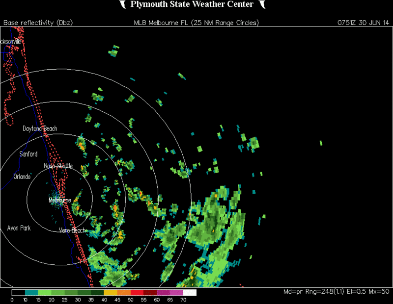
SFLcane wrote:Ouch! exposed llc here heading W.
http://www.ssd.noaa.gov/PS/TROP/floater ... imated.gif[/img]
Looks SW to me.
Moderator: S2k Moderators
SFLcane wrote:Ouch! exposed llc here heading W.
http://www.ssd.noaa.gov/PS/TROP/floater ... imated.gif[/img]
blp wrote:SFLcane wrote:Ouch! exposed llc here heading W.
http://www.ssd.noaa.gov/PS/TROP/floater ... imated.gif[/img]
Looks SW to me.

psyclone wrote:blp wrote:SFLcane wrote:Ouch! exposed llc here heading W.
http://www.ssd.noaa.gov/PS/TROP/floater ... imated.gif[/img]
Looks SW to me.
Indeed...actually SSW. The system looks to be in terrible shape...basically a naked swirl. I'm not buying the bullish assessments but I'm no pro either...It just looks like early season lameness to me.

Alyono wrote:Finally the Canadian indicates development, though not until Wednesday.
Probably wont see a TD today. Maybe not even tomorrow, but likely on Wed or Thursday


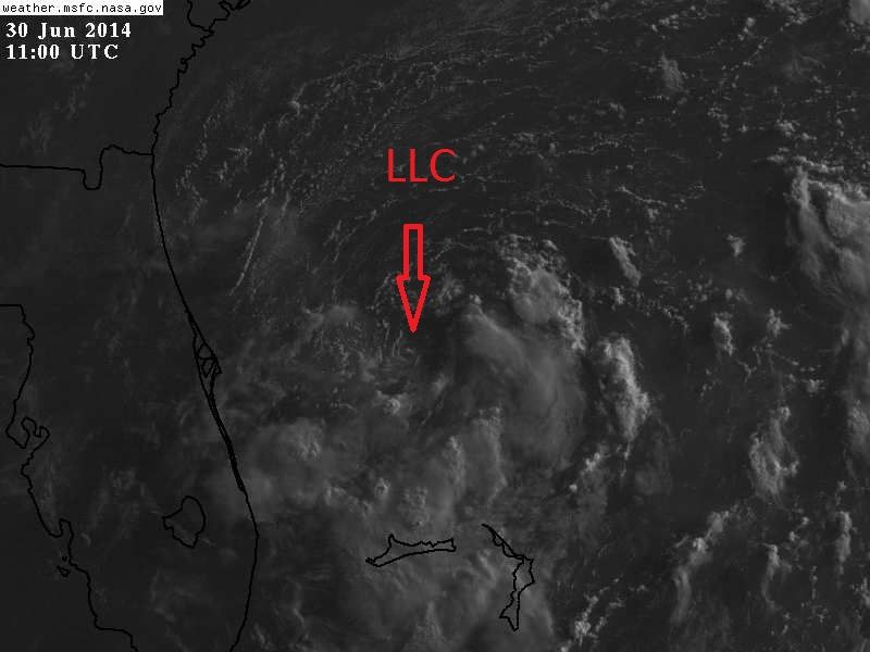
Alyono wrote:there still is a broad center. The well defined LLC is merely rotating around it. Normal for developing systems
Shear remains quite strong, but should decrease tomorrow


Users browsing this forum: No registered users and 16 guests

