#1034 Postby Nikki » Sun Sep 15, 2013 9:09 pm
So this would make the landfall further North into Mexico?[/quote]
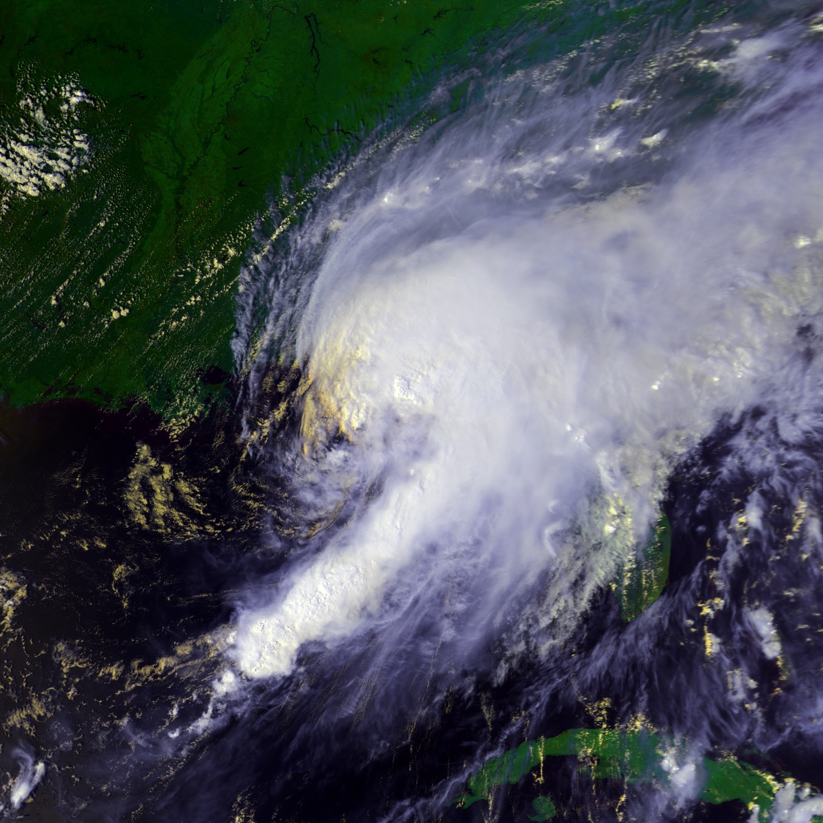
Yes, absolutely. It all depends on when it turns west. That turn is getting overdue. We'll just have to wait for the NHC's explanation discussion at 11PM. They know better than any of us, including that they will say they are not sure what it's doing if they're not. This one is a real forecasting challenge now.[/quote]
I can honestly say I am glad I don't have to forecast these storms....I am glad it may move far enough away from Manuel not to affect the same area(s) he is affecting!
0 likes
My name is Nicole and this is what I go by in Storm2k chat! Come chat with us! We have fun in there too!!
A teacher's purpose is not to create students in her own image, but to develop students who can create their own image. ~Author Unknown
Alicia, Allison, Rita, Ike


