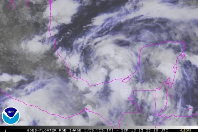
Hammy wrote:ozonepete wrote:Hammy wrote:The shear is already showing up, over the last several hours the stronger storms that had formed were blown off to the east and weakened, and a dry slot appears to be opening up immediately to the west.
http://www.ssd.noaa.gov/PS/TROP/floaters/10L/flash-rbtop-long.html
I don't think so Hammy. And I know you are a good observer and know what you are talking about. But look again at those loops. The tops of those thunderstorm were not blown off to the east; they really look like they simply deflated due to DMIN.
I can see what you're talking about better on the water vapor after checking it, as the western point of the convection hasn't really gone east much, and also that the northern extent of the cirrus canopy has extended northward by a decent amount in the last few hours.
That's what I see.


