ninel conde wrote:thats the winterlike pattern ive been talking about.
No pattern setting up, just one strong trough digging down that will be gone in a few days.
A few pages back someone was pointing to the WV image as evidence a ridge was building back in, now the opposite. Everyone needs to be careful with these blanket statements that don't have any meteorological backing. It's one thing to show today's loop and connect it to some longer term model runs, it's quite another to just point to today's loop as the start of a pattern with nothing to back it up.
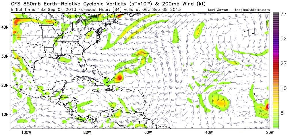
You can see the various GFS predictions on this page: http://www.tropicaltidbits.com/analysis/models/gfs/
More model runs here: http://www.meteo.psu.edu/ewall/ewall.html